
GPX tracks in France (page 296)
7,609 GPX tracks in France, with distance, elevation gain and time for each track. Pick a region on the map, then filter by department, sport, distance, elevation gain and time.
All GPX tracks in France
Activity : All activities

 Plan IGN © IGN 2026MTB 2 - a carpet of greenCévennes, Val-d'Aigoual (30) · LoopOfficial rating by Parc national des Cévennes

 Plan IGN © IGN 2026A carpet of green (Trail)Cévennes, Val-d'Aigoual (30) · LoopOfficial rating by Parc national des Cévennes
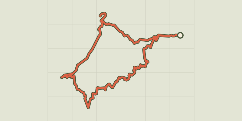
 Plan IGN © IGN 2026Saint-Michel de Frigolet AbbeyProvence-Alpes-Côte d'Azur, Tarascon (13) · LoopOfficial rating by Parcs naturels régionaux de Provence-Alpes-Côte d'Azur

 Plan IGN © IGN 2026Bike ride in the Provencal countrysideProvence-Alpes-Côte d'Azur, Tarascon (13) · LoopOfficial rating by Parcs naturels régionaux de Provence-Alpes-Côte d'Azur
 Plan IGN © IGN 2026TARASCON, La forêt méditerranéenne à VTTProvence-Alpes-Côte d'Azur, Tarascon (13) · LoopOfficial rating by Parcs naturels régionaux de Provence-Alpes-Côte d'Azur
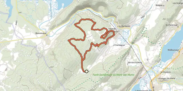 Plan IGN © IGN 2026Taremberg (parcours classique) - n° 78Bourgogne-Franche-Comté, Vaux-et-Chantegrue (25) · LoopOfficial rating by Département du Doubs
 Plan IGN © IGN 2026Taremberg (variante technique) - n° 78Bourgogne-Franche-Comté, Vaux-et-Chantegrue (25) · LoopOfficial rating by Département du Doubs
 Plan IGN © IGN 2026Terre BrièrePays de la Loire, Saint-André-des-Eaux (44) · Loop
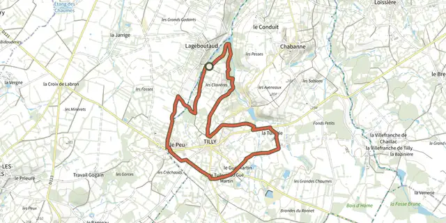 Plan IGN © IGN 2026 · track © OpenStreetMapTerre crue, terre cuiteCentre-Val de Loire, Tilly (36) · Loop
 Plan IGN © IGN 2026 · track © OpenStreetMapTerre d’ArtistesNormandy, La Hague (50) · Loop
 Plan IGN © IGN 2026Terre, eau et patrimoine en CingalNormandy, Bretteville-sur-Laize (14) · Loop
 Plan IGN © IGN 2026 · track © OpenStreetMapTerres de vigneronsCentre-Val de Loire, Thenay (36) · Loop
 Plan IGN © IGN 2026Terroir de SologneCentre-Val de Loire, Dhuizon (41) · Loop
 Plan IGN © IGN 2026 · track © OpenStreetMapTête de l'EnchastrayeProvence-Alpes-Côte d'Azur · Point to point
 Plan IGN © IGN 2026La Tête de VautisseÉcrins, Réotier (05) · Out and backOfficial rating by Parc national des Écrins
 Plan IGN © IGN 2026 · track © OpenStreetMapTête des FauxVosges, Orbey (68) · Loop
 Plan IGN © IGN 2026 · track © OpenStreetMapThann-Lac de MichelbachVosges, Roderen (68) · Loop
 Plan IGN © IGN 2026They du Mazet, the Rhône estuaryProvence-Alpes-Côte d'Azur, Port-Saint-Louis-du-Rhône (13) · Out and backOfficial rating by Parcs naturels régionaux de Provence-Alpes-Côte d'Azur
 Plan IGN © IGN 2026Thiers - Château de VaulxAuvergne, Thiers (63) · Point to point
 Plan IGN © IGN 2026Tignac, entre châtaigniers et pinsCévennes, Le Collet-de-Dèze (48) · LoopOfficial rating by Parc national des Cévennes
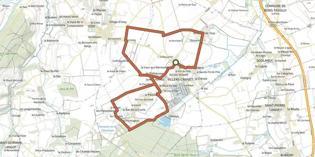 Plan IGN © IGN 2026TorpNormandy, Villers-Canivet (14) · Loop
 Plan IGN © IGN 2026Toudon - Cime des CollettesProvence-Alpes-Côte d'Azur, Toudon (06) · LoopOfficial rating by Parcs naturels régionaux de Provence-Alpes-Côte d'Azur
 Plan IGN © IGN 2026 · track © OpenStreetMapTour Arreugle-Massey asp112Pyrenees, Osse-en-Aspe (64) · Loop
 Plan IGN © IGN 2026 · track © OpenStreetMapTour Bérat - Urdos VTT asp67Pyrenees, Urdos (64) · Loop