
GPX tracks in France (page 275)
7,609 GPX tracks in France, with distance, elevation gain and time for each track. Pick a region on the map, then filter by department, sport, distance, elevation gain and time.
All GPX tracks in France
Activity : All activities

 Plan IGN © IGN 2026 · track © OpenStreetMapSentier d’interprétationÎle-de-France, Jouy-en-Josas (78) · Loop
 Plan IGN © IGN 2026 · track © OpenStreetMapSentier d'interpretation de l'IllwaldGrand Est, Sélestat (67) · Loop
 Plan IGN © IGN 2026 · track © OpenStreetMapSentier d'interprétation du karstVercors, Bouvante (26) · Loop
 Plan IGN © IGN 2026Sentier d'interprétation du marais du BourgetProvence-Alpes-Côte d'Azur, Cervières (05) · LoopOfficial rating by Parc national des Écrins
 Plan IGN © IGN 2026 · track © OpenStreetMapSentier d'Urdos au Refuge de Larry PNPPyrenees, Urdos (64) · Point to point
 Plan IGN © IGN 2026Sentier de "La Côte Sauvage" (variante)Pays de la Loire, Le Pouliguen (44) · LoopOfficial rating by Département de Loire-Atlantique
 Plan IGN © IGN 2026 · track © OpenStreetMapSentier de BaricavePyrenees, Saint-Lary-Soulan (65) · Loop
 Plan IGN © IGN 2026 · track © OpenStreetMapSentier de Belvédère à CampomoroCorsica, Belvédère-Campomoro (2A) · Point to point
 Plan IGN © IGN 2026 · track © OpenStreetMapSentier de Béthanier-la-MarneBourgogne-Franche-Comté, Montferrand-le-Château (25) · Loop
 Plan IGN © IGN 2026 · track © OpenStreetMapSentier de Combe des CivesHaut-Jura, Chapelle-des-Bois (25) · Loop
 Plan IGN © IGN 2026Coudoulous trailCévennes, Chamborigaud (30) · LoopOfficial rating by Parc national des Cévennes
 Plan IGN © IGN 2026 · track © OpenStreetMapSentier de découverteVosges, Fouchy (67) · Loop
 Plan IGN © IGN 2026 · track © OpenStreetMapSentier de découverteVosges, Le Syndicat (88) · Loop
 Plan IGN © IGN 2026 · track © OpenStreetMapSentier de découverteNormandy, Belforêt-en-Perche (61) · Loop
 Plan IGN © IGN 2026The Causse de Canayère plateauCévennes, Trèves (30) · LoopOfficial rating by Parc national des Cévennes
 Plan IGN © IGN 2026Sentier de découverte - Canayère - indices de la vie ruraleCévennes, Trèves (30) · LoopOfficial rating by Parc national des Cévennes
 Plan IGN © IGN 2026Sentier de découverte de la CocalièreCévennes, Courry (30) · Out and backOfficial rating by Parc national des Cévennes
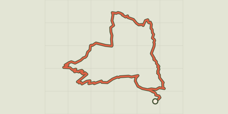 Plan IGN © IGN 2026Sentier de découverte de la RochailleProvence-Alpes-Côte d'Azur, Val d'Oronaye (04) · LoopOfficial rating by Département des Alpes-de-Haute-Provence
 Plan IGN © IGN 2026 · track © OpenStreetMapSentier de découverte de la SitelleCorsica, Évisa (2A) · Loop
 Plan IGN © IGN 2026 · track © OpenStreetMapSentier de découverte de la vallée de CorbinièresBrittany, Guipry-Messac (35) · Loop
 Plan IGN © IGN 2026Les Gourniers discovery pathÉcrins, Réallon (05) · LoopOfficial rating by Parc national des Écrins
 Plan IGN © IGN 2026 · track © OpenStreetMapSentier de découverte du Beau RouvreÎle-de-France, Dourdan (91) · Loop
 Plan IGN © IGN 2026Woodland discovery trailÉcrins, Aubessagne (05) · LoopOfficial rating by Parc national des Écrins
 Plan IGN © IGN 2026 · track © OpenStreetMapSentier de découverte du Bruckenbach et du TunnelVosges, Urbès (68) · Loop