
GPX tracks in France (page 188)
7,609 GPX tracks in France, with distance, elevation gain and time for each track. Pick a region on the map, then filter by department, sport, distance, elevation gain and time.
All GPX tracks in France
Activity : All activities
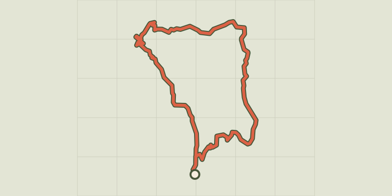
 Plan IGN © IGN 2026Le BriontetCévennes, Soudorgues (30) · LoopOfficial rating by Parc national des Cévennes
 Plan IGN © IGN 2026Le Brugeron - Aubusson-d'AuvergneAuvergne, Le Brugeron (63) · Point to point
 Plan IGN © IGN 2026Le Brugeron / Chalet-de-la-RocheAuvergne, Le Brugeron (63) · Point to point
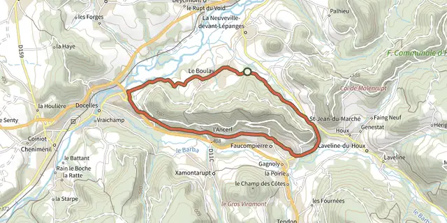
 Plan IGN © IGN 2026 · track © OpenStreetMapLe BruleuxVosges, La Neuveville-devant-Lépanges (88) · Loop
 Plan IGN © IGN 2026Le BurandouAuvergne, La Tour-d'Auvergne (63) · Loop
 Plan IGN © IGN 2026 · track © OpenStreetMapLe CalvaireVosges, Oderen (68) · Loop
 Plan IGN © IGN 2026 · track © OpenStreetMapLe Cami d'AnicetPyrenees, Banyuls-sur-Mer (66) · Point to point
 Plan IGN © IGN 2026 · track © OpenStreetMapLe camin du Mont MajorOccitanie, Saint-Pierre-des-Champs (11) · Point to point
 Plan IGN © IGN 2026 · track © OpenStreetMapLe Camp de GiblouHauts-de-France, Fourmies (59) · Loop
 Plan IGN © IGN 2026 · track © OpenStreetMapLe Camp du RoiHauts-de-France, Bourseville (80) · Loop
 Plan IGN © IGN 2026 · track © OpenStreetMapLe CanalHauts-de-France, Étreux (02) · Loop
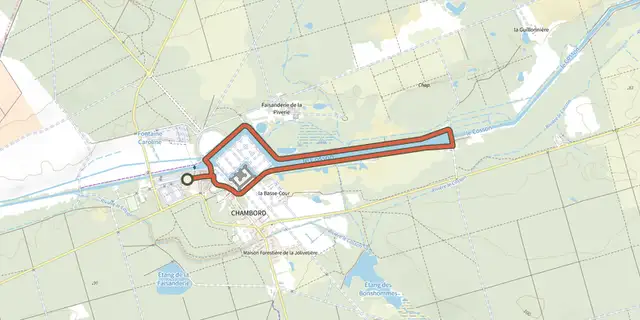 Plan IGN © IGN 2026 · track © OpenStreetMapLe canal de ChambordCentre-Val de Loire, Chambord (41) · Loop
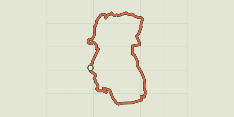 Plan IGN © IGN 2026 · track © OpenStreetMapLe Cap de la HagueNormandy, La Hague (50) · Loop
 Plan IGN © IGN 2026 · track © OpenStreetMapLe Capucin et le Puy de CliergueAuvergne, Mont-Dore (63) · Loop
 Plan IGN © IGN 2026Le Caro - Fort du Corbeau et le Caro - PorsmeurBrittany, Plougastel-Daoulas (29) · Point to point
 Plan IGN © IGN 2026Le Castellas - Trail n°11Cévennes, Barre-des-Cévennes (48) · LoopOfficial rating by Parc national des Cévennes
 Plan IGN © IGN 2026Le Castellet - Font de MarsProvence-Alpes-Côte d'Azur, Le Castellet (83) · LoopOfficial rating by Parcs naturels régionaux de Provence-Alpes-Côte d'Azur
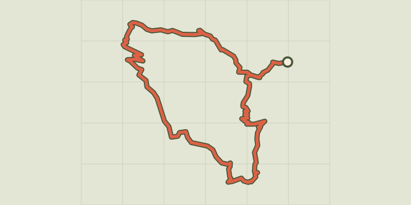 Plan IGN © IGN 2026Le CausseCévennes, Arre (30) · LoopOfficial rating by Parc national des Cévennes
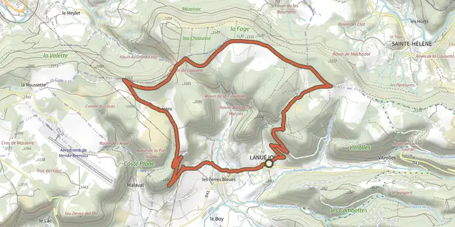 Plan IGN © IGN 2026Le Causse - VTT n°24Cévennes, Lanuéjols (48) · LoopOfficial rating by Parc national des Cévennes
 Plan IGN © IGN 2026 · track © OpenStreetMapLe Causse de NoaillesNouvelle-Aquitaine, Noailles (19) · Loop
 Plan IGN © IGN 2026 · track © OpenStreetMapLe CayrouxOccitanie, Le Puech (34) · Loop
 Plan IGN © IGN 2026Le Cébriot - N° 62Haut-Jura, Chaux-Neuve (25) · LoopOfficial rating by Département du Doubs
 Plan IGN © IGN 2026Le ChambonnetCévennes, Bordezac (30) · LoopOfficial rating by Parc national des Cévennes
 Plan IGN © IGN 2026 · track © OpenStreetMapLe Champ LartHauts-de-France, Saint-Martin-Choquel (62) · Loop