
GPX tracks in France (page 162)
7,609 GPX tracks in France, with distance, elevation gain and time for each track. Pick a region on the map, then filter by department, sport, distance, elevation gain and time.
All GPX tracks in France
Activity : All activities
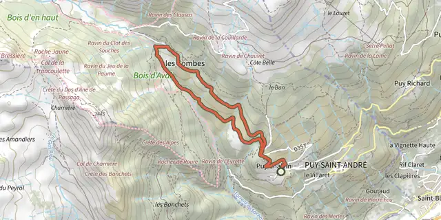
 Plan IGN © IGN 2026La boucle du hameau des CombesProvence-Alpes-Côte d'Azur, Puy-Saint-André (05) · LoopOfficial rating by Parc national des Écrins

 Plan IGN © IGN 2026 · track © OpenStreetMapLa boucle du KembergVosges, Saint-Dié-des-Vosges (88) · Loop
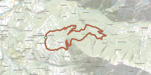 Plan IGN © IGN 2026The Méale loopProvence-Alpes-Côte d'Azur, Saint-Sauveur (05) · LoopOfficial rating by Parc national des Écrins
 Plan IGN © IGN 2026La Boucle du MoulinPays de la Loire, Vigneux-de-Bretagne (44) · LoopOfficial rating by Département de Loire-Atlantique
 Plan IGN © IGN 2026 · track © OpenStreetMapLa Boucle du PinCentre-Val de Loire, Badecon-le-Pin (36) · Loop
 Plan IGN © IGN 2026La boucle du RocleuBrittany, Trémargat (22) · LoopOfficial rating by Département des Côtes d'Armor
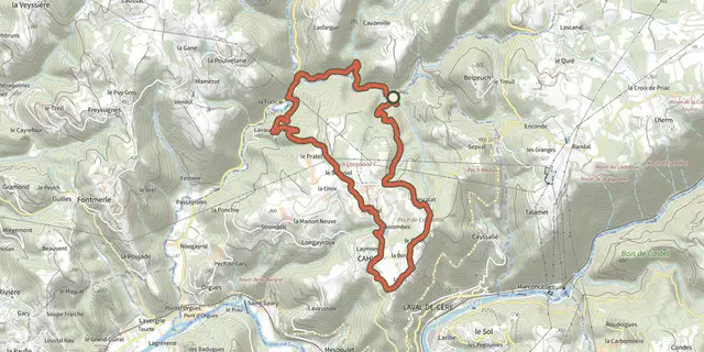 Plan IGN © IGN 2026 · track © OpenStreetMapLa boucle du SégalaOccitanie, Cahus (46) · Loop

 Plan IGN © IGN 2026La Boucle en Forêt d’OrléansCentre-Val de Loire, Semoy (45) · Loop
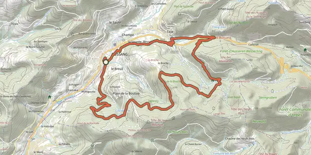 Plan IGN © IGN 2026 · track © OpenStreetMapLa Bouloie-SéchenatVosges, Bussang (88) · Loop
 Plan IGN © IGN 2026 · track © OpenStreetMapLa Boutonne et ses MoulinsNouvelle-Aquitaine, Saint-Séverin-sur-Boutonne (17) · Loop
 Plan IGN © IGN 2026La Brèche au DiableNormandy, Potigny (14) · Loop
 Plan IGN © IGN 2026La Brèche de PacaveÉcrins, La Grave (05) · LoopOfficial rating by Parc national des Écrins
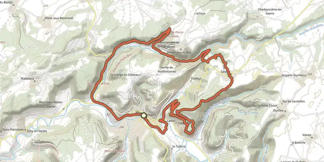 Plan IGN © IGN 2026La Brême - n° 27Bourgogne-Franche-Comté, Ornans (25) · LoopOfficial rating by Département du Doubs
 Plan IGN © IGN 2026 · track © OpenStreetMapLa Brie Verte - Boucle 2 - Forêt de MalvoisineÎle-de-France, Mortcerf (77) · Loop
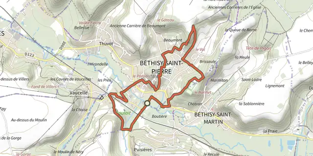 Plan IGN © IGN 2026 · track © OpenStreetMapLa BrissauleHauts-de-France, Béthisy-Saint-Pierre (60) · Loop
 Plan IGN © IGN 2026 · track © OpenStreetMapLa BrosseCentre-Val de Loire, Yvoy-le-Marron (41) · Loop
 Plan IGN © IGN 2026 · track © OpenStreetMapLa Butte aux SignauxHauts-de-France, Camiers (62) · Loop
 Plan IGN © IGN 2026La Butte de CaumontNormandy, Caumont-sur-Aure (14) · Loop
 Plan IGN © IGN 2026La Butte de CaumontNormandy, Caumont-sur-Aure (14) · Loop
 Plan IGN © IGN 2026La Butte de MontaigutAuvergne, Reignat (63) · Loop
 Plan IGN © IGN 2026La Butte de MontgaconAuvergne, Maringues (63) · Loop
 Plan IGN © IGN 2026La Butte de MontgaconAuvergne, Maringues (63) · Loop
 Plan IGN © IGN 2026La Butte de NonetteAuvergne, Nonette-Orsonnette (63) · Loop
 Plan IGN © IGN 2026La butte de Saint-GulmierAuvergne, Puy-Saint-Gulmier (63) · Loop