
La Roque Magnanerie (silkworm farm)
Key facts
- Distance
- 1.0 km
- Ascent
- +67 m
- Descent
- −57 m
- Estimated time
- 20 min
- hiking
- Difficulty
- Very easy
- official rating
- Route
- Loop
- back to the start
Profile and gradient
- under 10%
- 10 to 20%
- over 20%
Gradient along the route: 0.4 km under 10% and 0.6 km at 10 to 20%. Elevation from 624 m to 680 m over 1.0 km.
Surface and path types
- Surface
- Paved 64%
- Dirt & gravel 36%
- Path types
- Trail 25%
- Track 65%
- Road 10%
Description
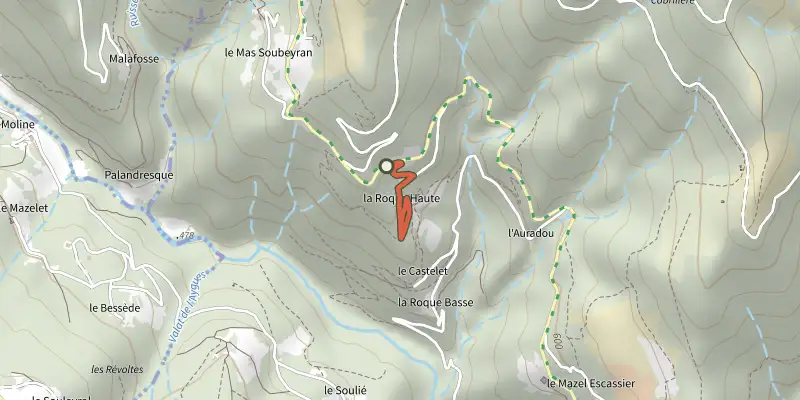
Keep your eyes open! Beneath its ordinary appearance, this trail offers a new perspective on an unexpected biodiversity. Forget wilderness: here, meadows, tracks and old trees all bear witness in their own way to the human presence of times gone by, namely those who lived and worked at the La Roque silkworm farm and shaped the valley. Each stage of the walk, whether in the open or shade, reveals a facet of the universe of insects and small mammals. After going alongside the road for a few metres, the trail heads down to a small field and continues among the chestnut trees. Joining a larger track, it leads to the silkworm farm building and goes around it. The path continues alongside a field lined by mulberry trees before going uphill into the chestnut grove to rejoin the track. To return to the parking area, retrace your steps.
Difficulty
Official rating: very easy, by Parc national des Cévennes.
Before you go
- The trail has rocky sections and hangs over the river below. For your own security, you must stay on the waymarked path.
Getting there
Start: Parking de la Magnanerie sur la RD983, Molezon (48).
Sources
- Track: Parc national des Cévennes, Licence Ouverte 1.0, Licence Ouverte 1.0 (Etalab) (destination.cevennes-parcnational.fr/trek/74739-Magnanerie-de-La-Roque). Time estimated by GPX Path with the Mac app rule, breaks not included.
- Surface and path types: © OpenStreetMap contributors, ODbL, extract of 28 October 2026, matched to the track every 10 m (openstreetmap.org/copyright)
- Official elevation gain: 67 m, Parc national des Cévennes
Nearby tracks

 Plan IGN © IGN 2026BiassesCévennes, Molezon (48) · LoopOfficial rating by Parc national des Cévennes
 Plan IGN © IGN 2026The Tour du CanourgueOccitanie, Molezon (48) · LoopOfficial rating by Parc national des Cévennes
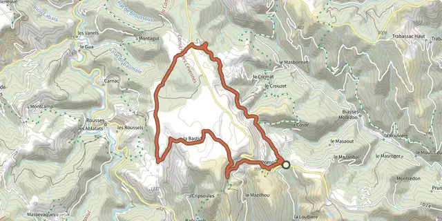 Plan IGN © IGN 2026BézucCévennes, Le Pompidou (48) · LoopOfficial rating by Parc national des Cévennes
 Plan IGN © IGN 2026Saint-Flour valleyCévennes, Le Pompidou (48) · LoopOfficial rating by Parc national des Cévennes
 Plan IGN © IGN 2026Le Castellas - Trail n°11Cévennes, Barre-des-Cévennes (48) · LoopOfficial rating by Parc national des Cévennes
 Plan IGN © IGN 2026The corniches de l’HospitaletCévennes, Vebron (48) · LoopOfficial rating by Parc national des Cévennes