
The corniches de l’Hospitalet

Key facts
- Distance
- 4.3 km
- Ascent
- +237 m
- Descent
- −203 m
- Estimated time
- 1 hr 25
- hiking
- Difficulty
- Easy
- official rating
- Route
- Loop
- back to the start
Profile and gradient
- under 10%
- 10 to 20%
- over 20%
Gradient along the route: 2.4 km under 10%, 1.7 km at 10 to 20% and 0.2 km over 20%. Elevation from 860 m to 1,063 m over 4.3 km.
Surface and path types
- Surface
- Paved 2%
- Dirt & gravel 97%
- Unknown 1%
- Path types
- Trail 28%
- Track 69%
- Road 2%
- Off-network 1%
Description
This path is ideal for a short summer’s walk and offers remarkable views over the Tarnon valley and the Causse Méjean… Start from the roadside of the D 9. Take the path lined by ash trees that heads west. Once you are on the heights of the Can de l’Hospitalet, take the path on the right that goes down into the Tarnon valley. NB: The path may be difficult to see. Follow this small steep path to where it crosses the Broussous trail, and turn right towards L’Hospitalet. At the next crossing, continue straight. The path becomes rather steep for a few metres. At the next crossing, turn right to return towards L’Hospitalet.
Difficulty
Official rating: easy, by Parc national des Cévennes.
Before you go
- Make sure your equipment is appropriate for the day's weather conditions. Remember that the weather changes quickly in the mountains. Take enough water, wear good shoes and put on a hat. Please close all gates and barriers after yourself. This walk can be extended by adding the Broussous trail.
Getting there
Start: L’Hospitalet, Vebron (48).
Sources
- Track: Parc national des Cévennes, Licence Ouverte 1.0, Licence Ouverte 1.0 (Etalab) (destination.cevennes-parcnational.fr/trek/40136-Les-corniches-de-l-Hospitalet). Time estimated by GPX Path with the Mac app rule, breaks not included.
- Surface and path types: © OpenStreetMap contributors, ODbL, extract of 28 October 2026, matched to the track every 10 m (openstreetmap.org/copyright)
- Official elevation gain: 237 m, Parc national des Cévennes
Nearby tracks

 Plan IGN © IGN 2026D’une vallée à l’autre, entre Gardon et TarnonCévennes, Rousses (48) · Point to pointOfficial rating by Parc national des Cévennes
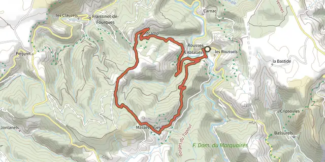 Plan IGN © IGN 2026MassevaquesCévennes, Rousses (48) · LoopOfficial rating by Parc national des Cévennes
 Plan IGN © IGN 2026Le Castellas - Trail n°11Cévennes, Barre-des-Cévennes (48) · LoopOfficial rating by Parc national des Cévennes
 Plan IGN © IGN 2026BroussousCévennes, Vebron (48) · LoopOfficial rating by Parc national des Cévennes
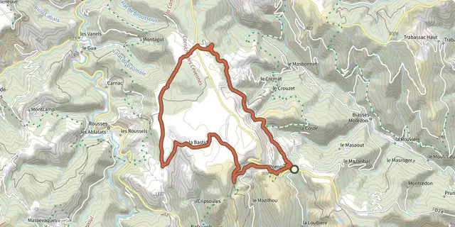 Plan IGN © IGN 2026BézucCévennes, Le Pompidou (48) · LoopOfficial rating by Parc national des Cévennes
 Plan IGN © IGN 2026Saint-Flour valleyCévennes, Le Pompidou (48) · LoopOfficial rating by Parc national des Cévennes