
GPX tracks in Normandy (page 10)
226 GPX tracks in Normandy, with distance, elevation gain and time for each track. Filter by department, sport, distance, elevation gain and time.
All GPX tracks in Normandy


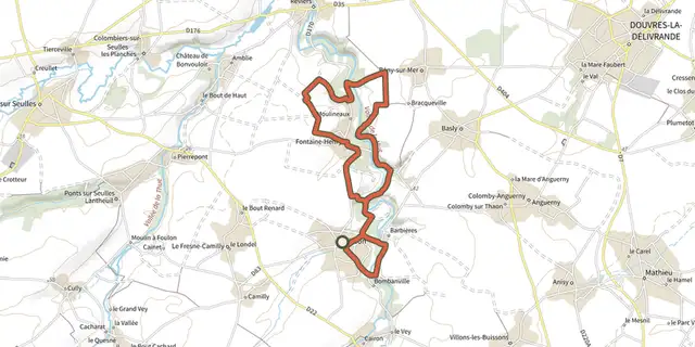
 Plan IGN © IGN 2026Sur les rives de la MueNormandy, Thaon (14) · Loop
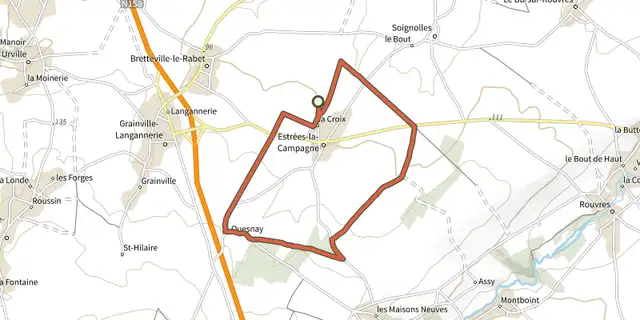 Plan IGN © IGN 2026Sur les traces de GuillaumeNormandy, Estrées-la-Campagne (14) · Loop
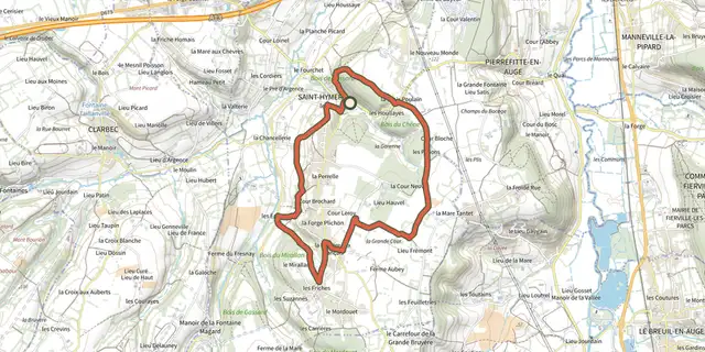 Plan IGN © IGN 2026Sur les traces de PascalNormandy, Saint-Hymer (14) · Loop
 Plan IGN © IGN 2026Sur les traces des pèlerins du Mont-Saint-MichelNormandy, Pontécoulant (14) · Loop

 Plan IGN © IGN 2026Sur les traces des templiersNormandy, Valdallière (14) · Loop
 Plan IGN © IGN 2026 · track © OpenStreetMapTerre d’ArtistesNormandy, La Hague (50) · Loop
 Plan IGN © IGN 2026Terre, eau et patrimoine en CingalNormandy, Bretteville-sur-Laize (14) · Loop
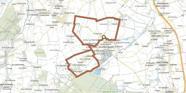 Plan IGN © IGN 2026TorpNormandy, Villers-Canivet (14) · Loop
 Plan IGN © IGN 2026 · track © OpenStreetMapTrotté par la cornicheNormandy, Saint-Céneri-le-Gérei (61) · Loop
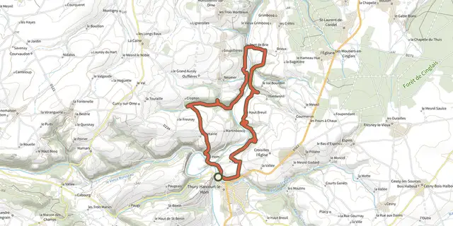 Plan IGN © IGN 2026Vallée de l'OrneNormandy, Thury-Harcourt-le-Hom (14) · Loop