
Hiking GPX tracks in Hauts-de-France (page 4)
165 GPX tracks in Hauts-de-France, with distance, elevation gain and time for each track. Filter by department, sport, distance, elevation gain and time.
All GPX tracks in Hauts-de-France


 Plan IGN © IGN 2026 · track © OpenStreetMapLe CanalHauts-de-France, Étreux (02) · Loop
 Plan IGN © IGN 2026 · track © OpenStreetMapLe Champ LartHauts-de-France, Saint-Martin-Choquel (62) · Loop
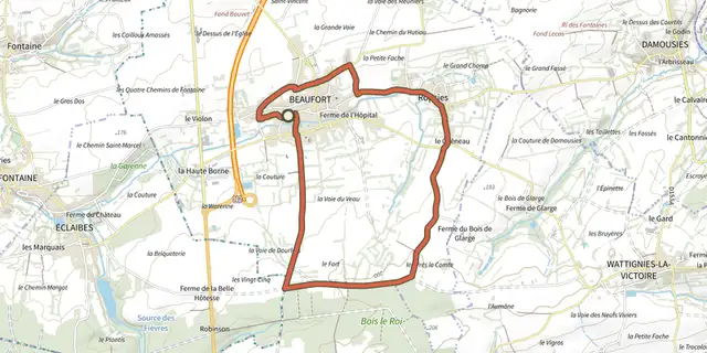 Plan IGN © IGN 2026 · track © OpenStreetMapLe Chemin d'AvesnesHauts-de-France, Beaufort (59) · Loop
 Plan IGN © IGN 2026 · track © OpenStreetMapLe Chemin de CappeHauts-de-France, Samer (62) · Loop
 Plan IGN © IGN 2026 · track © OpenStreetMapLe ColombierHauts-de-France, Quend (80) · Loop
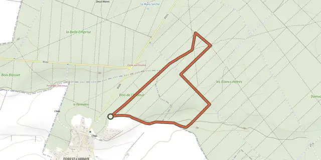 Plan IGN © IGN 2026 · track © OpenStreetMapLe HallotHauts-de-France, Forest-l'Abbaye (80) · Loop
 Plan IGN © IGN 2026 · track © OpenStreetMapLe HonlieuHauts-de-France, Montcavrel (62) · Loop
 Plan IGN © IGN 2026 · track © OpenStreetMapLe HourdelHauts-de-France, Cayeux-sur-Mer (80) · Loop
 Plan IGN © IGN 2026 · track © OpenStreetMapLe HourquetHauts-de-France, Samer (62) · Loop
 Plan IGN © IGN 2026 · track © OpenStreetMapLe Mont DauphinHauts-de-France, Colembert (62) · Loop
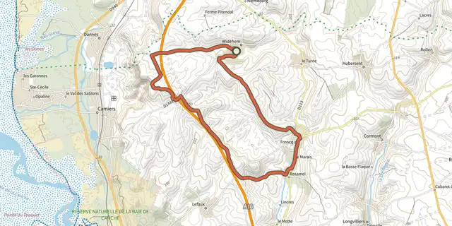 Plan IGN © IGN 2026 · track © OpenStreetMapLe Mont de l'EpineHauts-de-France, Widehem (62) · Loop
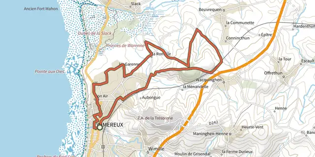 Plan IGN © IGN 2026 · track © OpenStreetMapLe Mont DuezHauts-de-France, Wimereux (62) · Loop
 Plan IGN © IGN 2026 · track © OpenStreetMapLe mont Saint-MardHauts-de-France, Trosly-Breuil (60) · Loop
 Plan IGN © IGN 2026 · track © OpenStreetMapLe Mont-ColletHauts-de-France, Trosly-Breuil (60) · Loop
 Plan IGN © IGN 2026 · track © OpenStreetMapLe Moulin de VervalHauts-de-France, Quesques (62) · Loop
 Plan IGN © IGN 2026 · track © OpenStreetMapLe Parc de l'AbbayeHauts-de-France, Liessies (59) · Loop
 Plan IGN © IGN 2026 · track © OpenStreetMapLe Parcours ImpérialHauts-de-France, Wimille (62) · Loop
 Plan IGN © IGN 2026 · track © OpenStreetMapLe RendalHauts-de-France, Maninghen-Henne (62) · Loop
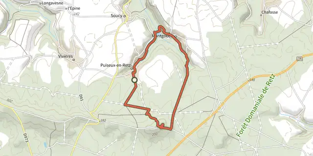 Plan IGN © IGN 2026 · track © OpenStreetMapLe Ru de RetzHauts-de-France, Puiseux-en-Retz (02) · Loop
 Plan IGN © IGN 2026 · track © OpenStreetMapLe Vert Buisson et BrodeHauts-de-France, Sains-du-Nord (59) · Loop
 Plan IGN © IGN 2026 · track © OpenStreetMapLe Vieux BéthisyHauts-de-France, Béthisy-Saint-Pierre (60) · Loop
 Plan IGN © IGN 2026 · track © OpenStreetMapLes 400 CoupsHauts-de-France, Ponthoile (80) · Loop
 Plan IGN © IGN 2026 · track © OpenStreetMapLes AuteuxHauts-de-France, Miannay (80) · Loop
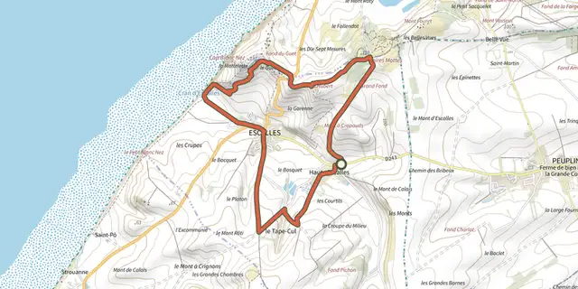 Plan IGN © IGN 2026 · track © OpenStreetMapLes Balcons d'EscallesHauts-de-France, Escalles (62) · Loop