
GPX tracks in Grand Est (page 32)
769 GPX tracks in Grand Est, with distance, elevation gain and time for each track. Filter by department, sport, distance, elevation gain and time.
All GPX tracks in Grand Est

 Plan IGN © IGN 2026 · track © OpenStreetMapTour du LacVosges, Metzeral (68) · Loop
 Plan IGN © IGN 2026 · track © OpenStreetMapTour du LacVosges, La Bresse (88) · Loop
 Plan IGN © IGN 2026 · track © OpenStreetMapTour du Lac BlancVosges, Orbey (68) · Loop
 Plan IGN © IGN 2026 · track © OpenStreetMapTour du lac d’AlfeldVosges, Sewen (68) · Loop
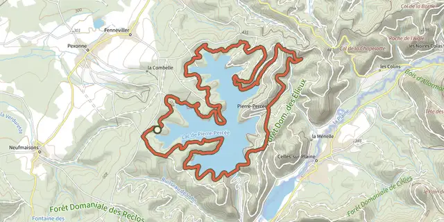
 Plan IGN © IGN 2026 · track © OpenStreetMapTour du lac de Pierre PercéeGrand Est, Pexonne (54) · Loop
 Plan IGN © IGN 2026 · track © OpenStreetMapTour du lac de Pierre-PercéeGrand Est, Pierre-Percée (54) · Loop
 Plan IGN © IGN 2026 · track © OpenStreetMapTour du Lac NoirVosges, Orbey (68) · Loop
 Plan IGN © IGN 2026 · track © OpenStreetMapTour du LémontVosges, Vagney (88) · Loop
 Plan IGN © IGN 2026 · track © OpenStreetMapTour du MarksteinVosges, Oderen (68) · Loop
 Plan IGN © IGN 2026 · track © OpenStreetMapTour du MeerbaechleVosges, Saint-Amarin (68) · Loop
 Plan IGN © IGN 2026 · track © OpenStreetMapTour du Petit BallonVosges, Luttenbach-près-Munster (68) · Loop
 Plan IGN © IGN 2026 · track © OpenStreetMapTour du Vallon de MalmerspachVosges, Malmerspach (68) · Loop
 Plan IGN © IGN 2026 · track © OpenStreetMapTour du ValtinVosges, Le Valtin (88) · Loop
 Plan IGN © IGN 2026 · track © OpenStreetMapTour du VillageVosges, Bussang (88) · Loop
 Plan IGN © IGN 2026 · track © OpenStreetMapTrail RochesVosges, Saint-Dié-des-Vosges (88) · Loop
 Plan IGN © IGN 2026 · track © OpenStreetMapVignoble de Kientzheim et SigolsheimVosges, Kaysersberg Vignoble (68) · Loop
 Plan IGN © IGN 2026 · track © OpenStreetMapVignoble et ChâteauxVosges, Eguisheim (68) · Loop
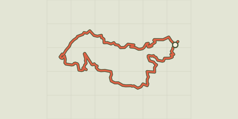 Plan IGN © IGN 2026 · track © OpenStreetMapVoyage aux Pays de ThannVosges, Thann (68) · Loop
 Plan IGN © IGN 2026 · track © OpenStreetMapVoyage aux Pays de ThannVosges, Thann (68) · Loop
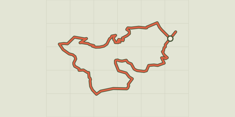 Plan IGN © IGN 2026 · track © OpenStreetMapVoyage aux Pays de ThannVosges, Thann (68) · Loop
 Plan IGN © IGN 2026 · track © OpenStreetMapYellow crossVosges, Philippsbourg (57) · Point to point
 Plan IGN © IGN 2026 · track © OpenStreetMapYellow crossVosges, Sturzelbronn (57) · Point to point
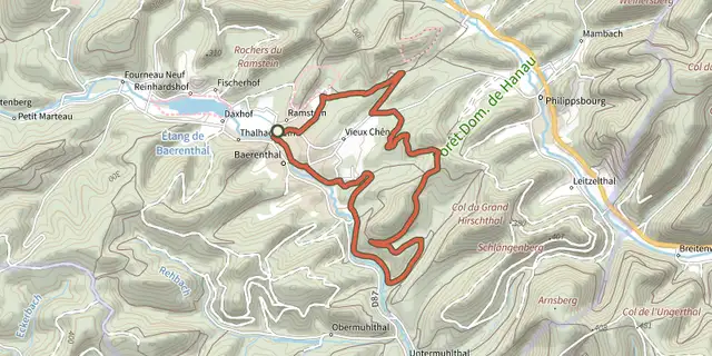 Plan IGN © IGN 2026 · track © OpenStreetMapYellow ringVosges, Baerenthal (57) · Loop
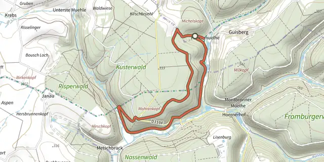 Plan IGN © IGN 2026 · track © OpenStreetMapYellow ringVosges, Rohrbach-lès-Bitche (57) · Loop