
GPX tracks in Grand Est (page 12)
769 GPX tracks in Grand Est, with distance, elevation gain and time for each track. Filter by department, sport, distance, elevation gain and time.
All GPX tracks in Grand Est

 Plan IGN © IGN 2026 · track © OpenStreetMapCircuit du KalblinVosges, Fréland (68) · Loop

 Plan IGN © IGN 2026 · track © OpenStreetMapCircuit du KempelVosges, Wangenbourg-Engenthal (67) · Loop
 Plan IGN © IGN 2026 · track © OpenStreetMapCircuit du Kilomètre Zéro sud du frond ouest 1914 1918Grand Est, Pfetterhouse (68) · Loop
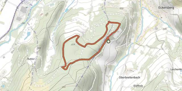 Plan IGN © IGN 2026 · track © OpenStreetMapCircuit du KraehenbergVosges, Breitenbach-Haut-Rhin (68) · Loop
 Plan IGN © IGN 2026 · track © OpenStreetMapCircuit du lacGrand Est, Aspach-le-Bas (68) · Loop
 Plan IGN © IGN 2026 · track © OpenStreetMapCircuit du lac NoirVosges, Orbey (68) · Loop
 Plan IGN © IGN 2026 · track © OpenStreetMapCircuit du LampertsteinVosges, Saint-Quirin (57) · Loop
 Plan IGN © IGN 2026 · track © OpenStreetMapCircuit du LautenbaechleinVosges, Jungholtz (68) · Point to point
 Plan IGN © IGN 2026 · track © OpenStreetMapCircuit du LuchsenkopfVosges, Wissembourg (67) · Loop
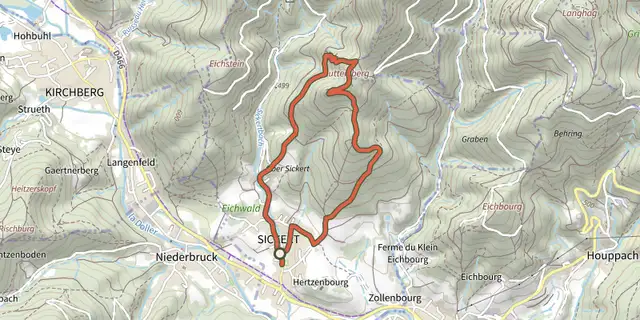 Plan IGN © IGN 2026 · track © OpenStreetMapCircuit du LuttersbergVosges, Sickert (68) · Loop
 Plan IGN © IGN 2026 · track © OpenStreetMapCircuit du MoenchbergVosges, Munster (68) · Loop
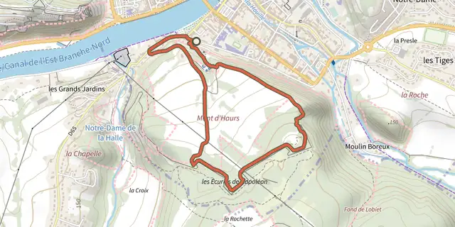 Plan IGN © IGN 2026 · track © OpenStreetMapCircuit du Mont d'HaursGrand Est, Givet (08) · Loop
 Plan IGN © IGN 2026 · track © OpenStreetMapCircuit du MuehlenkopfVosges, Wissembourg (67) · Loop
 Plan IGN © IGN 2026 · track © OpenStreetMapCircuit du Muguet - NoennenbruchGrand Est, Lutterbach (68) · Loop
 Plan IGN © IGN 2026 · track © OpenStreetMapCircuit du NablaswaldVosges, Wegscheid (68) · Point to point
 Plan IGN © IGN 2026 · track © OpenStreetMapCircuit du Nonnenbruch - RichwillerGrand Est, Richwiller (68) · Loop
 Plan IGN © IGN 2026Circuit du patrimoine de LutterbachGrand Est, Lutterbach (68) · Loop
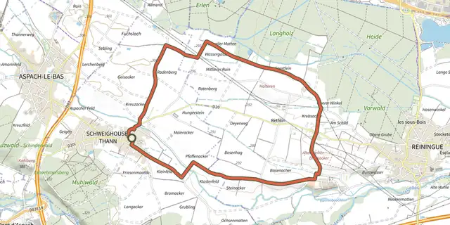 Plan IGN © IGN 2026 · track © OpenStreetMapCircuit du pélerinGrand Est, Schweighouse-Thann (68) · Loop
 Plan IGN © IGN 2026 · track © OpenStreetMapCircuit du Petit HautVosges, Sainte-Marie-aux-Mines (68) · Loop
 Plan IGN © IGN 2026Circuit du Quatelbach à Baldersheim et BattenheimGrand Est, Baldersheim (68) · Loop
 Plan IGN © IGN 2026 · track © OpenStreetMapCircuit du RehbergVosges, Fréland (68) · Loop
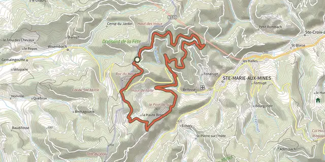 Plan IGN © IGN 2026 · track © OpenStreetMapCircuit du RobinotVosges, Sainte-Marie-aux-Mines (68) · Loop
 Plan IGN © IGN 2026 · track © OpenStreetMapCircuit du RocherVosges, Dabo (57) · Loop
 Plan IGN © IGN 2026 · track © OpenStreetMapCircuit du rocher de l’OsteinVosges, Willer-sur-Thur (68) · Loop