
Hiking GPX tracks in Grand Est (page 3)
537 GPX tracks in Grand Est, with distance, elevation gain and time for each track. Filter by department, sport, distance, elevation gain and time.
All GPX tracks in Grand Est


 Plan IGN © IGN 2026 · track © OpenStreetMapCircuit de GalfingueGrand Est, Heimsbrunn (68) · Loop
 Plan IGN © IGN 2026 · track © OpenStreetMapCircuit de GuewenheimVosges, Guewenheim (68) · Loop
 Plan IGN © IGN 2026 · track © OpenStreetMapCircuit de HagenmuehleVosges, Soultzmatt (68) · Loop
 Plan IGN © IGN 2026Circuit de l'Abbatiale à OttmarsheimGrand Est, Ottmarsheim (68) · Point to point
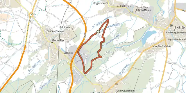 Plan IGN © IGN 2026 · track © OpenStreetMapCircuit de l’ÉcomuséeGrand Est, Ungersheim (68) · Loop
 Plan IGN © IGN 2026Circuit de l'Ecomusée à Ungersheim et PulversheimGrand Est, Ungersheim (68) · Loop
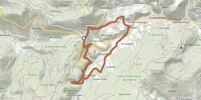 Plan IGN © IGN 2026 · track © OpenStreetMapCircuit de l’Étang du VallonVosges, Le Bonhomme (68) · Loop
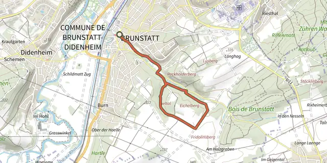 Plan IGN © IGN 2026Circuit de l'IgeltalGrand Est, Brunstatt-Didenheim (68) · Point to point
 Plan IGN © IGN 2026 · track © OpenStreetMapCircuit de l’OberfeldVosges, Willer-sur-Thur (68) · Loop
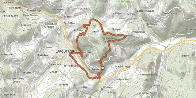 Plan IGN © IGN 2026 · track © OpenStreetMapCircuit de la Basse des BuissonsVosges, Lapoutroie (68) · Loop
 Plan IGN © IGN 2026 · track © OpenStreetMapCircuit de la Basse des FeignesVosges, La Bresse (88) · Loop
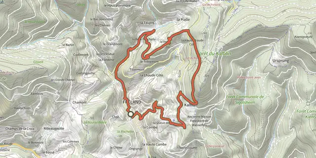 Plan IGN © IGN 2026 · track © OpenStreetMapCircuit de la Belle FauchelleVosges, Fréland (68) · Loop
 Plan IGN © IGN 2026 · track © OpenStreetMapCircuit de la BouletteGrand Est, Rouvroy-sur-Audry (08) · Loop
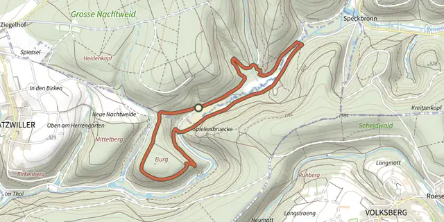 Plan IGN © IGN 2026 · track © OpenStreetMapCircuit de la BurgVosges, Butten (67) · Loop
 Plan IGN © IGN 2026 · track © OpenStreetMapCircuit de la Cense de Saint-DiéVosges, Bois-de-Champ (88) · Loop
 Plan IGN © IGN 2026 · track © OpenStreetMapCircuit de la ChapelleVosges, Labaroche (68) · Loop
 Plan IGN © IGN 2026Circuit de la Chapelle à DidenheimGrand Est, Brunstatt-Didenheim (68) · Loop
 Plan IGN © IGN 2026 · track © OpenStreetMapCircuit de la chapelle de MalfosseVosges, Moyenmoutier (88) · Loop
 Plan IGN © IGN 2026 · track © OpenStreetMapCircuit de la chapelle de MonthegoutteVosges, Mandray (88) · Loop
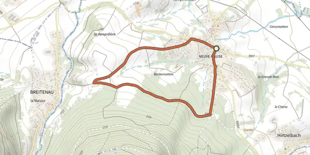 Plan IGN © IGN 2026 · track © OpenStreetMapCircuit de la chapelle du RennfeldGrand Est, Neuve-Église (67) · Loop
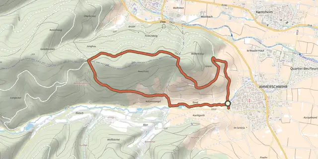 Plan IGN © IGN 2026 · track © OpenStreetMapCircuit de la chapelle FliegerVosges, Ammerschwihr (68) · Loop
 Plan IGN © IGN 2026 · track © OpenStreetMapCircuit de la chapelle Notre-Dame-des-BouleauxVosges, Guewenheim (68) · Loop
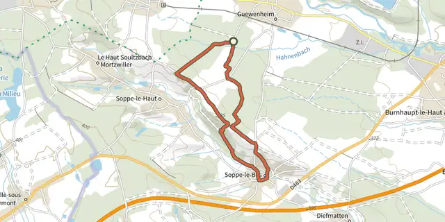 Plan IGN © IGN 2026 · track © OpenStreetMapCircuit de la chapelle Notre-Dame-des-BouleauxVosges, Guewenheim (68) · Loop
 Plan IGN © IGN 2026 · track © OpenStreetMapCircuit de la chapelle Saint-ClaireVosges, Le Bonhomme (68) · Loop