
Hiking GPX tracks in Grand Est (page 2)
537 GPX tracks in Grand Est, with distance, elevation gain and time for each track. Filter by department, sport, distance, elevation gain and time.
All GPX tracks in Grand Est

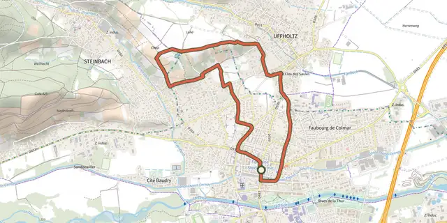
 Plan IGN © IGN 2026 · track © OpenStreetMapCircuit "Les Cigognes" 5 KmGrand Est, Cernay (68) · Loop
 Plan IGN © IGN 2026 · track © OpenStreetMapCircuit AlspachVosges, Kaysersberg Vignoble (68) · Loop
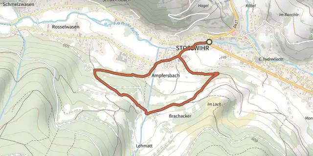 Plan IGN © IGN 2026 · track © OpenStreetMapCircuit AmpfersbachVosges, Stosswihr (68) · Loop
 Plan IGN © IGN 2026 · track © OpenStreetMapCircuit archéologiqueVosges, Lemberg (57) · Loop
 Plan IGN © IGN 2026 · track © OpenStreetMapCircuit Aspach-le-HautGrand Est, Aspach-Michelbach (68) · Loop
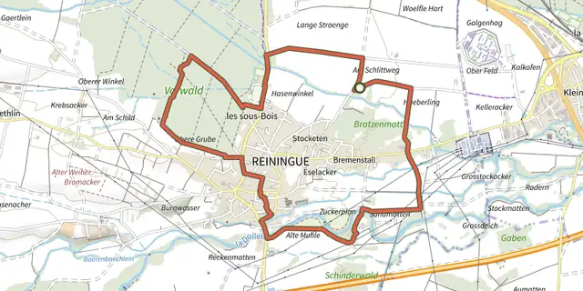 Plan IGN © IGN 2026 · track © OpenStreetMapCircuit Au fil de l’eauGrand Est, Reiningue (68) · Loop
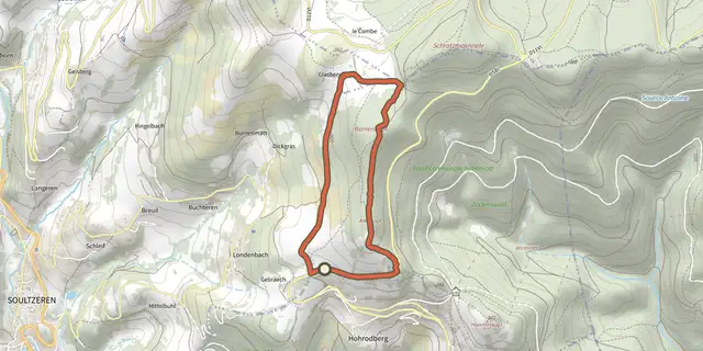 Plan IGN © IGN 2026 · track © OpenStreetMapCircuit BarrenkopfVosges, Hohrod (68) · Loop
 Plan IGN © IGN 2026 · track © OpenStreetMapCircuit Bussang - Col du PageVosges, Bussang (88) · Loop
 Plan IGN © IGN 2026 · track © OpenStreetMapCircuit ChaillotVosges, Ranspach (68) · Loop
 Plan IGN © IGN 2026 · track © OpenStreetMapCircuit CharbesVosges, Lalaye (67) · Loop
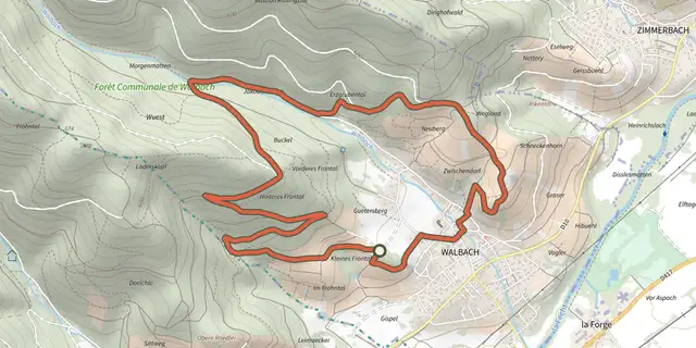 Plan IGN © IGN 2026 · track © OpenStreetMapCircuit Chêne de la ViergeVosges, Walbach (68) · Loop
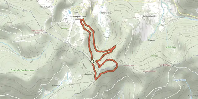 Plan IGN © IGN 2026 · track © OpenStreetMapCircuit Croix de l’ErmiteVosges, Ventron (88) · Loop
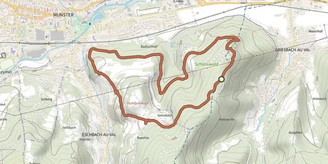 Plan IGN © IGN 2026 · track © OpenStreetMapCircuit d’Eschbach-au-ValVosges, Griesbach-au-Val (68) · Loop
 Plan IGN © IGN 2026 · track © OpenStreetMapCircuit d’IssenheimVosges, Issenheim (68) · Loop
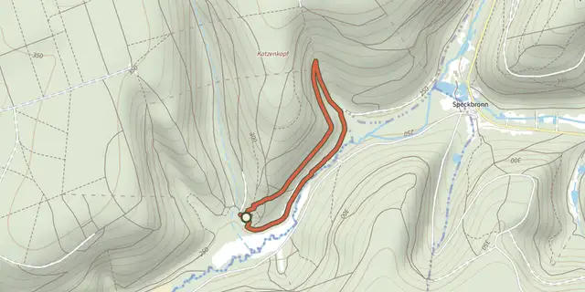 Plan IGN © IGN 2026 · track © OpenStreetMapCircuit de BiersbachVosges, Butten (67) · Loop
 Plan IGN © IGN 2026 · track © OpenStreetMapCircuit de BramontVosges, La Bresse (88) · Loop
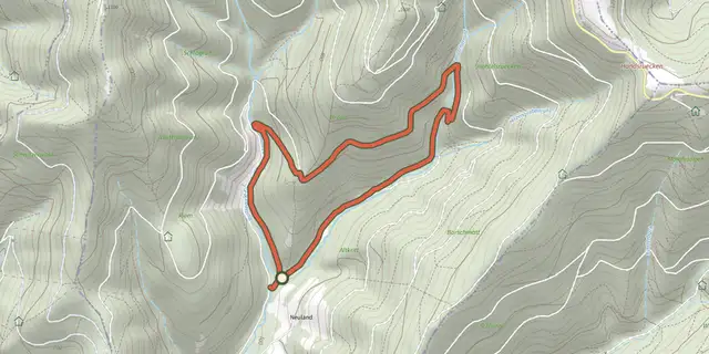 Plan IGN © IGN 2026 · track © OpenStreetMapCircuit de BraunVosges, Ranspach (68) · Loop
 Plan IGN © IGN 2026Circuit de Brunstatt-DidenheimGrand Est, Brunstatt-Didenheim (68) · Loop
 Plan IGN © IGN 2026 · track © OpenStreetMapCircuit de ChaudefontaineVosges, Vecoux (88) · Loop
 Plan IGN © IGN 2026 · track © OpenStreetMapCircuit de CornimontVosges, Cornimont (88) · Loop
 Plan IGN © IGN 2026 · track © OpenStreetMapCircuit de DanigoutteVosges, Sainte-Croix-aux-Mines (68) · Loop
 Plan IGN © IGN 2026 · track © OpenStreetMapCircuit de découverte du TannenwaldGrand Est, Marmoutier (67) · Loop
 Plan IGN © IGN 2026 · track © OpenStreetMapCircuit de FelleringVosges, Oderen (68) · Loop
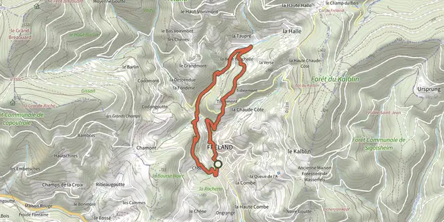 Plan IGN © IGN 2026 · track © OpenStreetMapCircuit de FrélandVosges, Fréland (68) · Loop