
Pétarel Lakes by the Andrieux

Key facts
- Distance
- 10.0 km
- Ascent
- +1,063 m
- Descent
- −1,049 m
- Estimated time
- 5 hr 35
- hiking
- Difficulty
- Difficult
- official rating
- Route
- Out and back
- same way back
Profile and gradient
- under 10%
- 10 to 20%
- over 20%
Gradient along the route: 1.5 km under 10%, 4.0 km at 10 to 20% and 4.5 km over 20%. Elevation from 1,053 m to 2,107 m over 10.0 km.
Surface and path types
- Surface
- Paved 3%
- Dirt & gravel 86%
- Unknown 11%
- Path types
- Trail 86%
- Road 3%
- Off-network 11%
Description
This ascent in a forest setting enables you to benefit from the grandiose panorama of the Mount Olan massif. The silent forest cover of Silver Firs, populated by enormous ants, gives a mysterious character to this ascent. Then, the landscape of the lake offers hikers wonder and serenity. From Andrieux car park at the level of the fountain place cross the main road in front of the small chapel and go towards the end of the village in the direction of the pine forest.. At the level of the entrance to the National Park indicated by signposts, climb the track going up to the left. At an altitude of 1 400 m, leave the track going towards la Chapelle-en-Valgaudemar and des Portes hamlet (a bit higher up) on the left, staying on the same path. The ascent continues for some time in the forest which brightens up progressively.. Walk carefully through the last rocky passages. A large cairn signals your arrival at the lakes. Return using the same itinerary.
Difficulty
Official rating: difficult, by Parc national des Écrins.
Before you go
- Under the glacial cross cliff, certain crossings can be slippery especially in wet weather. NB : the bivouac is only allowed (from 19h à 9h) and rubbish must be taken away in order to preserve the site.
Getting there
Start: Hameau Les Andrieux, la Chapelle-en-Valgaudemar, La Chapelle-en-Valgaudémar (05).
Sources
- Track: Parc national des Écrins, Licence Ouverte 2.0, Licence Ouverte 2.0 (Etalab) (destination.ecrins-parcnational.fr/trek/903509-Les-lacs-de-Petarel-par-les-Andrieux). Time estimated by GPX Path with the Mac app rule, breaks not included.
- Surface and path types: © OpenStreetMap contributors, ODbL, extract of 28 October 2026, matched to the track every 10 m (openstreetmap.org/copyright)
- Official elevation gain: 1,063 m, Parc national des Écrins
Nearby tracks
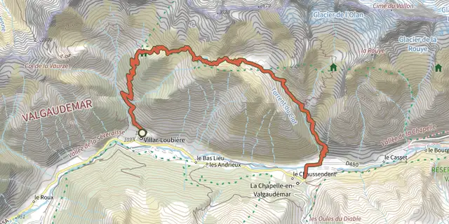
 Plan IGN © IGN 2026From Villar-Loubière to La-Chapelle-en-ValgaudemarÉcrins, Villar-Loubière (05) · Point to pointOfficial rating by Parc national des Écrins
 Plan IGN © IGN 2026Valgaudemar refugesÉcrins, Villar-Loubière (05) · Point to pointOfficial rating by Parc national des Écrins
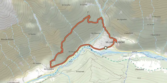 Plan IGN © IGN 2026Village of Les PeinesÉcrins, Villar-Loubière (05) · LoopOfficial rating by Parc national des Écrins
 Plan IGN © IGN 2026Du refuge des Souffles au refuge de l'Olan (sans voiture)Écrins, Villar-Loubière (05) · Point to pointOfficial rating by Parc national des Écrins
 Plan IGN © IGN 2026Les Oulles du DiableÉcrins, La Chapelle-en-Valgaudémar (05) · LoopOfficial rating by Parc national des Écrins
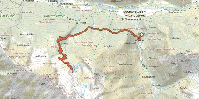 Plan IGN © IGN 2026The Pétarel Lakes via Les PortesÉcrins, La Chapelle-en-Valgaudémar (05) · Out and backOfficial rating by Parc national des Écrins