
Le Belvédère de l'homme

Key facts
- Distance
- 5.6 km
- Ascent
- +114 m
- Descent
- −74 m
- Estimated time
- 1 hr 25
- hiking
- Difficulty
- Very easy
- official rating
- Route
- Out and back
- same way back
Profile and gradient
- under 10%
- 10 to 20%
- over 20%
Gradient along the route: 5.6 km under 10%. Elevation from 2,038 m to 2,121 m over 5.6 km.
Surface and path types
- Surface
- Paved 2%
- Dirt & gravel 98%
- Path types
- Trail 99%
- Road 1%
Description
An easy, half-day excursion starting from the Lautaret pass, in landscaped high mountain surroundings that have views of La Meije, perched glaciers and the Romanche valley. This is an enjoyable walk, with some lush vegetation, that it is a pleasure to follow as a means to apply knowledge gained from a visit to the Lautaret pass Alpine Botanical Garden. The high point of this short climb is the Belvedere de l'Homme. It is an invitation to contemplate the high summits of the massif and perhaps encourage us to come back another time to walk towards the Arsine pass, the Adèle mountain refuge or the Emparis plateau that we can imagine in the distance. Pierrick Navizet - eco-tourism task officer at the Parc national From the car park below the Lautaret pass, head towards Laurichard where you will quickly come to a crossing. Leave the Laurichard footpath and turn right. Cross a footbridge and progressively walk up the hillside. The footpath crosses over several streams, eutrophic tall herbs and shrub zones and leads to a more open area - where sheep sometimes graze, before reaching the Belvedere de l'homme. Do not go over the barrier, turn back to return to the start point.
Difficulty
Official rating: very easy, by Parc national des Écrins.
Getting there
Start: Col du Lautaret, Villar-d'Arêne (05).
Sources
- Track: Parc national des Écrins, Licence Ouverte 2.0, Licence Ouverte 2.0 (Etalab) (destination.ecrins-parcnational.fr/trek/918809-Le-belvedere-de-l-Homme). Time estimated by GPX Path with the Mac app rule, breaks not included.
- Surface and path types: © OpenStreetMap contributors, ODbL, extract of 28 October 2026, matched to the track every 10 m (openstreetmap.org/copyright)
- Official elevation gain: 114 m, Parc national des Écrins
Nearby tracks
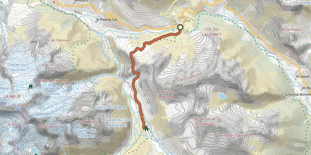
 Plan IGN © IGN 2026Crossing from Lautaret to Alpe de VillarÉcrins, Villar-d'Arêne (05) · Out and backOfficial rating by Parc national des Écrins
 Plan IGN © IGN 2026The Arsine corrie via the Crevasses pathÉcrins, Villar-d'Arêne (05) · Out and backOfficial rating by Parc national des Écrins
 Plan IGN © IGN 2026Laurichard Mountain PassÉcrins, Villar-d'Arêne (05) · Out and backOfficial rating by Parc national des Écrins
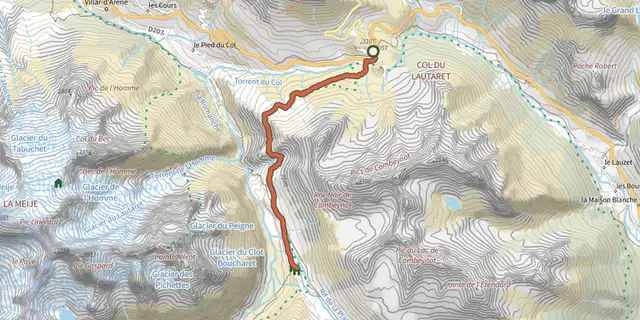 Plan IGN © IGN 2026Le Plan de l'Alpe de Villar par le sentier des CrevassesÉcrins, Villar-d'Arêne (05) · Out and backOfficial rating by Parc national des Écrins
 Plan IGN © IGN 2026Tour of the Combeynot Peaks in three daysÉcrins, Le Monêtier-les-Bains (05) · Point to pointOfficial rating by Parc national des Écrins
 Plan IGN © IGN 20264-day Tour du CombeynotÉcrins, Le Monêtier-les-Bains (05) · Point to pointOfficial rating by Parc national des Écrins