
Voie Verte La Cévenole du Collet-de-Dèze à Sainte-Cécile-d'Andorge

Key facts
- Distance
- 6.7 km
- Ascent
- +71 m
- Descent
- −98 m
- Estimated time
- 35 min
- mtb
- Difficulty
- Very easy
- official rating
- Route
- Out and back
- same way back
Profile and gradient
- under 10%
- 10 to 20%
- over 20%
Gradient along the route: 6.5 km under 10% and 0.2 km at 10 to 20%. Elevation from 280 m to 318 m over 6.7 km.
Surface and path types
- Surface
- Paved 11%
- Dirt & gravel 86%
- Unknown 3%
- Path types
- Trail 61%
- Track 28%
- Road 11%
Description
Difficulty
Official rating: very easy, by Parc national des Cévennes.
Getting there
Start: Collet de Dèze, Le Collet-de-Dèze (48).
Sources
- Track: Parc national des Cévennes, Licence Ouverte 1.0, Licence Ouverte 1.0 (Etalab) (destination.cevennes-parcnational.fr/trek/96974-Voie-Verte-La-Cevenole-du-Collet-de-Deze-a-Sainte-Cecile-d-Andorge). Time estimated by GPX Path with the Mac app rule, breaks not included.
- Surface and path types: © OpenStreetMap contributors, ODbL, extract of 28 October 2026, matched to the track every 10 m (openstreetmap.org/copyright)
- Official elevation gain: 157 m, Parc national des Cévennes
Nearby tracks

 Plan IGN © IGN 2026Le Luech viaduct, MTB circuit #1 (blue)Cévennes, Chamborigaud (30) · LoopOfficial rating by Parc national des Cévennes
 Plan IGN © IGN 2026Forêt Domaniale de l'Homol - VTT n°2Cévennes, Génolhac (30) · LoopOfficial rating by Parc national des Cévennes
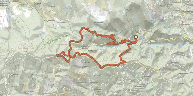 Plan IGN © IGN 2026Signal de Ventalon - VTT n°4Cévennes, Vialas (48) · LoopOfficial rating by Parc national des Cévennes
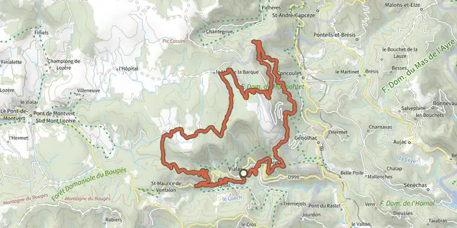 Plan IGN © IGN 2026Le Chastelas - Gourdouze - VTT n°5Cévennes, Vialas (48) · LoopOfficial rating by Parc national des Cévennes
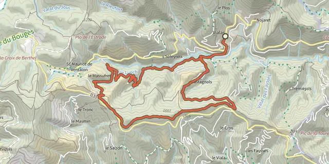 Plan IGN © IGN 2026The three passes, MTB circuit #3 (red)Cévennes, Vialas (48) · LoopOfficial rating by Parc national des Cévennes
 Plan IGN © IGN 2026Bois de la Méjarié - VTT n°8Cévennes, Vialas (48) · LoopOfficial rating by Parc national des Cévennes