
The wash houses (south)

Key facts
- Distance
- 6.9 km
- Ascent
- +214 m
- Descent
- −181 m
- Estimated time
- 1 hr 55
- hiking
- Difficulty
- Moderate
- official rating
- Route
- Loop
- back to the start
Profile and gradient
- under 10%
- 10 to 20%
- over 20%
Gradient along the route: 6.0 km under 10% and 0.9 km at 10 to 20%. Elevation from 245 m to 357 m over 6.9 km.
Description
The hamlets have houses with exposed stonework, overlook crop terraces and offer handsome views over St Paul and its surroundings. In the summer, when the sun becomes overly generous, the shady vaulted passages are much appreciated. This loop completes the walk “The wash houses (north)” in the village of Saint-Paul-le-Jeune, which honours built heritage. Signposts will guide you all along this route. In the description below, the signposted place names and/or directions are given in bold italics between quotation marks : From the car park, walk to the signpost “St-Paul-le-Jeune Place de la Gare”. - From “St-Paul-le-Jeune Place de la Gare”, follow “le Tomple 0,8km” (orange waymarks). - At “Le Tomple”, follow “La Brousse 0,1 km”. - From “La Brousse”, follow “Les Monédes 0,6 km”. - At “Les Monédes”, follow “La Croix Rouge 0,5 km”. - From “La Croix Rouge”, follow “Le Frigolet 1,7 km”. - At “Le Frigolet”, follow “La Croix Rouge 0,4 km”. - At “La Croix Rouge”, follow “La Gadilhe 0,6 km”. - From “La Gadilhe”, follow “Sauvas 0,9 km”. - From “Sauvas”, follow “La Gadhile 0,9 km”. - At “La Gadhile”, return to “St Paul le Jeune, Place de la Gare 0,9 km”.
Difficulty
Official rating: moderate, by Parc national des Cévennes.
Before you go
- Make sure your equipment is appropriate for the day’s weather conditions. Remember that the weather changes quickly in the mountains. Take enough water, wear sturdy shoes and put on a hat. Please close any gates and barriers behind you.
Getting there
Start: Saint-Paul-le-Jeune, Saint-Paul-le-Jeune (07).
Sources
- Track: Parc national des Cévennes, Licence Ouverte 1.0, Licence Ouverte 1.0 (Etalab) (destination.cevennes-parcnational.fr/trek/96983-Les-lavoirs-Sud). Time estimated by GPX Path with the Mac app rule, breaks not included.
- Official elevation gain: 214 m, Parc national des Cévennes
Nearby tracks
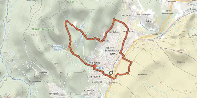
 Plan IGN © IGN 2026The wash houses (north)Cévennes, Saint-Paul-le-Jeune (07) · LoopOfficial rating by Parc national des Cévennes
 Plan IGN © IGN 2026BanneCévennes, Banne (07) · LoopOfficial rating by Parc national des Cévennes
 Plan IGN © IGN 2026Sentier de découverte de la CocalièreCévennes, Courry (30) · Out and backOfficial rating by Parc national des Cévennes
 Plan IGN © IGN 2026Viaduct of DoulovyCévennes, Gagnières (30) · LoopOfficial rating by Parc national des Cévennes
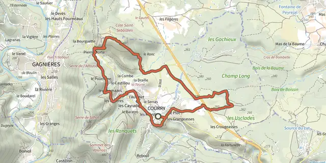 Plan IGN © IGN 2026Les dolmens de l’IsmaëlCévennes, Courry (30) · LoopOfficial rating by Parc national des Cévennes
 Plan IGN © IGN 2026Castillon towerCévennes, Bessèges (30) · LoopOfficial rating by Parc national des Cévennes