
The wash houses (north)

Key facts
- Distance
- 5.3 km
- Ascent
- +178 m
- Descent
- −139 m
- Estimated time
- 1 hr 30
- hiking
- Difficulty
- Moderate
- official rating
- Route
- Loop
- back to the start
Profile and gradient
- under 10%
- 10 to 20%
- over 20%
Gradient along the route: 4.5 km under 10% and 0.8 km at 10 to 20%. Elevation from 257 m to 349 m over 5.3 km.
Description
This easy family walk will thrill lovers of old stone and ancestral know-how. The wash house in the hamlet of Gadilhe, nestled in a small welcoming clearing, remains in a perfect state. Come admire the ingeniosity that our forefathers displayed in exploiting springs and rivers for water, which is very precious in the Ardèche Cévennes. This walk is dotted with fountains, wash houses and other small waterways cleverly built to irrigate the many gardens. Signposts will guide you all along this route. In the description below, the signposted place names and/or directions are given in bold italics between quotation marks : From the car park, walk to the signpost “St-Paul-le-Jeune Place de la Gare”. - From “St-Paul-le-Jeune”, follow “Le Tomple 0,8 km” (green waymarks). - From “Le Tomple”, follow “Les Sagnes 0,1 km” (yellow waymarks). - At “Les Sagnes”, follow “Les Rousses 2,1 km” (yellow waymarks). - At “Les Rousses”, follow “Mentaresse 0,8 km” (yellow waymarks). - From “Mentaresse” continue to “La Coste 1,1 km” (yellow waymarks). - At “La Coste”, follow “St-Paul-le-Jeune - Place de la Gare 0,5 km” (yellow waymarks).
Difficulty
Official rating: moderate, by Parc national des Cévennes.
Before you go
- Make sure your equipment is appropriate for the day’s weather conditions. Remember that the weather changes quickly in the mountains. Take enough water, wear sturdy shoes and put on a hat. Please close any gates and barriers behind you.
Getting there
Start: Saint-Paul-le-Jeune, Saint-Paul-le-Jeune (07).
Sources
- Track: Parc national des Cévennes, Licence Ouverte 1.0, Licence Ouverte 1.0 (Etalab) (destination.cevennes-parcnational.fr/trek/96982-Les-lavoirs-Nord). Time estimated by GPX Path with the Mac app rule, breaks not included.
- Official elevation gain: 178 m, Parc national des Cévennes
Nearby tracks
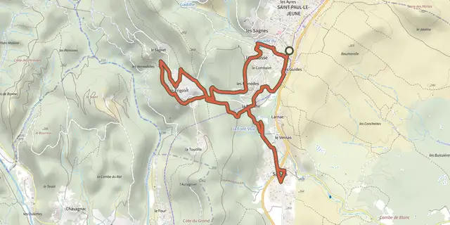
 Plan IGN © IGN 2026The wash houses (south)Cévennes, Saint-Paul-le-Jeune (07) · LoopOfficial rating by Parc national des Cévennes
 Plan IGN © IGN 2026BanneCévennes, Banne (07) · LoopOfficial rating by Parc national des Cévennes
 Plan IGN © IGN 2026Sentier de découverte de la CocalièreCévennes, Courry (30) · Out and backOfficial rating by Parc national des Cévennes
 Plan IGN © IGN 2026Viaduct of DoulovyCévennes, Gagnières (30) · LoopOfficial rating by Parc national des Cévennes
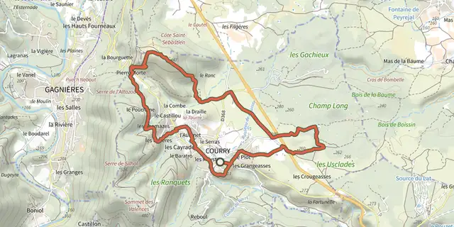 Plan IGN © IGN 2026Les dolmens de l’IsmaëlCévennes, Courry (30) · LoopOfficial rating by Parc national des Cévennes
 Plan IGN © IGN 2026Castillon towerCévennes, Bessèges (30) · LoopOfficial rating by Parc national des Cévennes