
The two bridges

Key facts
- Distance
- 7.1 km
- Ascent
- +283 m
- Descent
- −268 m
- Estimated time
- 2 hr 10
- hiking ; trail running : 1 hr
- Difficulty
- Easy
- official rating
- Route
- Loop
- back to the start
Profile and gradient
- under 10%
- 10 to 20%
- over 20%
Gradient along the route: 5.1 km under 10% and 2.0 km at 10 to 20%. Elevation from 501 m to 748 m over 7.1 km.
Surface and path types
- Surface
- Paved 57%
- Dirt & gravel 43%
- Path types
- Trail 17%
- Track 26%
- Road 57%
Description
This walk through the gateway to the Tarn gorge takes you through a vast chestnut orchard from the mediaeval bridge of Ispagnac to the prestigious pointed-arch bridge of Quézac. Leave the car park by turning left onto the main road. 1) Turn right to reach Ispagnac bridge. Cross it and continue on the tarred road to the hamlet of Bieissette. 2) Just before the hamlet’s first houses, take the path on the right by the signpost for Bieisses, and continue straight ahead to the barrier marked “Attention vaches, chevaux, refermer la clôture” (Caution: cows, horses. Close the barrier behind you). The path is wide and goes uphill to a track. 3) Turn right onto the track and go through the pine plantation. At the pass, go through a gate (be sure to close it behind you). 4) After the barrier, leave the track and take a small path (waymarked white and red), which can be muddy at times, to a junction with the tarred road. 5) At the road, turn right and 200 m further take the path on the right again, which overlooks the Tarn, to Quézac bridge. 6) Cross Quézac bridge and turn right onto the path that runs alongside the Tarn back to Ispagnac. 7) After the campsites, by the large stone cross, take the paved lane on your right, which will take you back to the square in front of the town hall (mairie). Continue straight ahead on Rue de la Ville to the little square (Placette), then walk up the lane on the left. That takes you back to the main road and your starting-point.
Difficulty
Official rating: easy, by Parc national des Cévennes.
Before you go
- This walk is accessible to all and relatively shaded on the first section. Make sure your equipment is appropriate for the day’s weather conditions. Remember that the weather changes quickly in the mountains. Take enough water, wear sturdy shoes and put on a hat. Please close all gates and barriers behind you.
Getting there
Start: Parking face à la pharmacie, direction Florac, Ispagnac (48).
Sources
- Track: Parc national des Cévennes, Licence Ouverte 1.0, Licence Ouverte 1.0 (Etalab) (destination.cevennes-parcnational.fr/trek/44802-Les-deux-ponts). Time estimated by GPX Path with the Mac app rule, breaks not included.
- Surface and path types: © OpenStreetMap contributors, ODbL, extract of 28 October 2026, matched to the track every 10 m (openstreetmap.org/copyright)
- Official elevation gain: 283 m, Parc national des Cévennes
Nearby tracks
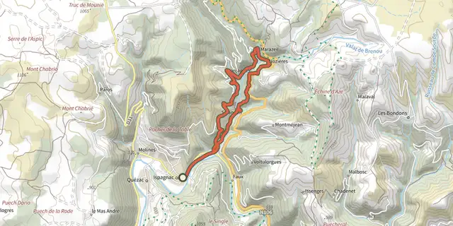
 Plan IGN © IGN 2026Rocher des FéesCévennes, Ispagnac (48) · LoopOfficial rating by Parc national des Cévennes
 Plan IGN © IGN 2026From Ispagnac to the mediaeval village of Sainte-Enimie.Cévennes, Ispagnac (48) · Point to pointOfficial rating by Parc national des Cévennes

 Plan IGN © IGN 2026Rocher des Fées - Trail n°43Cévennes, Ispagnac (48) · LoopOfficial rating by Parc national des Cévennes
 Plan IGN © IGN 2026Le tour d'Ispagnac - Trail n°41Cévennes, Ispagnac (48) · LoopOfficial rating by Parc national des Cévennes
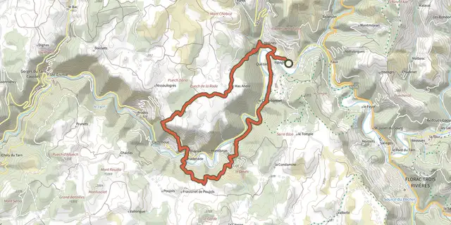 Plan IGN © IGN 2026Aventures sur les Causses Méjean et Sauveterre - Trail n°44Cévennes, Ispagnac (48) · LoopOfficial rating by Parc national des Cévennes
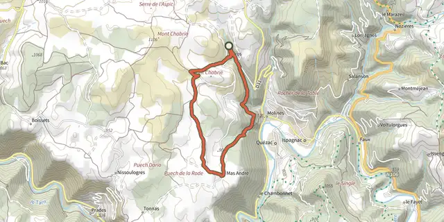 Plan IGN © IGN 2026ParosCévennes, Ispagnac (48) · LoopOfficial rating by Parc national des Cévennes