
The ridges and valley of Le Coudoulous

Key facts
- Distance
- 10.7 km
- Ascent
- +516 m
- Descent
- −479 m
- Estimated time
- 3 hr 25
- hiking
- Difficulty
- Moderate
- official rating
- Route
- Loop
- back to the start
Profile and gradient
- under 10%
- 10 to 20%
- over 20%
Gradient along the route: 7.2 km under 10%, 2.9 km at 10 to 20% and 0.5 km over 20%. Elevation from 422 m to 899 m over 10.7 km.
Surface and path types
- Surface
- Paved 32%
- Dirt & gravel 66%
- Unknown 2%
- Path types
- Trail 27%
- Track 51%
- Road 21%
- Off-network 1%
Description
A forest path between the Coudoulous valley and the Serre de Naves ridge, through an environment shaped by human hand: sweet-chestnut groves, planted forests, apple orchards, terraces planted with onions and typical local villages. Signposts will guide you all along this route. In the description below, the signposted place names and/or directions are given in bold italics between quotation marks : Starting from “ ARPHY ”, walk towards “ CAP DE CÔTE ” via : - “ Bions ”, - “ Serre de Naves ”. Take the direction GR®6a via : - “ Le Crestat ”, - “ Galary ”. Return to “ ARPHY ”. This walk is taken from the guidebook Les Vallées Cévenoles - En Pays Viganais, published by the Communauté de communes Pays Viganais-Cévennes as part of the collection Espaces Naturels Gardois and the label Gard Pleine Nature.
Difficulty
Official rating: moderate, by Parc national des Cévennes.
Before you go
- Make sure your equipment is appropriate for the day’s weather conditions. Take enough water, wear sturdy shoes and put on a hat. Please close any gates and barriers behind you.
Getting there
Start: Arphy, Arphy (30).
Sources
- Track: Parc national des Cévennes, Licence Ouverte 1.0, Licence Ouverte 1.0 (Etalab) (destination.cevennes-parcnational.fr/trek/74887-Les-serres-et-la-vallee-du-Coudoulous). Time estimated by GPX Path with the Mac app rule, breaks not included.
- Surface and path types: © OpenStreetMap contributors, ODbL, extract of 28 October 2026, matched to the track every 10 m (openstreetmap.org/copyright)
- Official elevation gain: 516 m, Parc national des Cévennes
Nearby tracks
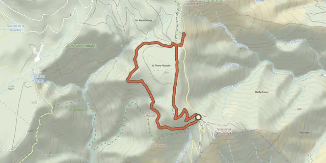
 Plan IGN © IGN 2026Cascades d'Orgon, variante courteCévennes, Val-d'Aigoual (30) · LoopOfficial rating by Parc national des Cévennes
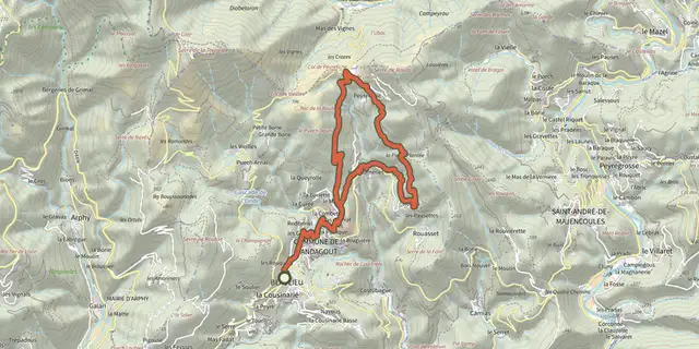 Plan IGN © IGN 2026Col de PeyreficheCévennes, Mandagout (30) · LoopOfficial rating by Parc national des Cévennes
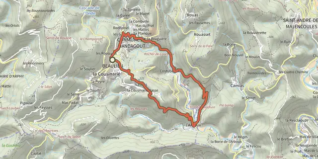 Plan IGN © IGN 2026L’ArbouxCévennes, Mandagout (30) · LoopOfficial rating by Parc national des Cévennes
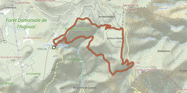 Plan IGN © IGN 2026Orgon WaterfallsCévennes, Arphy (30) · LoopOfficial rating by Parc national des Cévennes
 Plan IGN © IGN 2026Around AulasCévennes, Aulas (30) · LoopOfficial rating by Parc national des Cévennes
 Plan IGN © IGN 2026SoulsCévennes, Bréau-Mars (30) · LoopOfficial rating by Parc national des Cévennes