
The dolmens of La Grande Pallières

Key facts
- Distance
- 4.1 km
- Ascent
- +140 m
- Descent
- −126 m
- Estimated time
- 1 hr 10
- hiking
- Difficulty
- Moderate
- official rating
- Route
- Loop
- back to the start
Profile and gradient
- under 10%
- 10 to 20%
- over 20%
Gradient along the route: 3.7 km under 10% and 0.4 km at 10 to 20%. Elevation from 325 m to 439 m over 4.1 km.
Surface and path types
- Surface
- Paved 17%
- Dirt & gravel 81%
- Unknown 2%
- Path types
- Trail 69%
- Track 29%
- Off-network 2%
Description
An easy walk exploring the traces of the past and of prehistoric human presence. The site of La Grande Pallière is considered the largest prehistoric necropolis in acidic soil. This path is enlivened by panels made in collaboration with Florian Secondary School. Happy exploring ! Signposts will guide you all along this route. In the description below, the signposted place names and/or directions are given in bold italics between quotation marks: Start at “L’Aiguille” car park, above Driolle. - Walk to “Panissière”. - Take the path uphill to “Col de Panissières”. - Continue to “Dolmens de la grande Pallières”. - Take the ridge path and go downhill to “Dolmen de Panissière”. - Continue downhill to “Sous le Dolmen”. - Walk to “Les croix de Pallières” x2. - Go downhill to “Panissière”. - Return to “L’Aiguille”.
Difficulty
Official rating: moderate, by Parc national des Cévennes.
Before you go
- Make sure your equipment is appropriate for the day’s weather conditions. Remember that the weather changes quickly in the mountains. Take enough water, wear sturdy shoes and put on a hat.
Getting there
Start: L’Aiguille (Anduze), Anduze (30).
Sources
- Track: Parc national des Cévennes, Licence Ouverte 1.0, Licence Ouverte 1.0 (Etalab) (destination.cevennes-parcnational.fr/trek/98814-Les-dolmens-de-la-grande-Pallieres). Time estimated by GPX Path with the Mac app rule, breaks not included.
- Surface and path types: © OpenStreetMap contributors, ODbL, extract of 28 October 2026, matched to the track every 10 m (openstreetmap.org/copyright)
- Official elevation gain: 140 m, Parc national des Cévennes
Nearby tracks

 Plan IGN © IGN 2026Le roc de la chapelleCévennes, Thoiras-Corbès (30) · LoopOfficial rating by Parc national des Cévennes
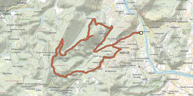 Plan IGN © IGN 2026Around Le CapelanCévennes, Anduze (30) · LoopOfficial rating by Parc national des Cévennes
 Plan IGN © IGN 2026Le rocher de Saint-JulienCévennes, Anduze (30) · LoopOfficial rating by Parc national des Cévennes
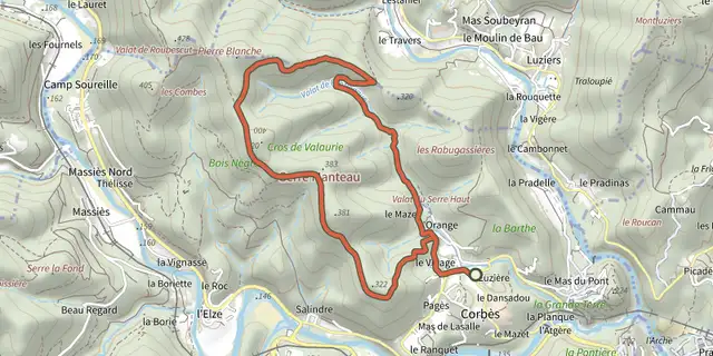 Plan IGN © IGN 2026Panorama de ValaurieCévennes, Thoiras-Corbès (30) · LoopOfficial rating by Parc national des Cévennes
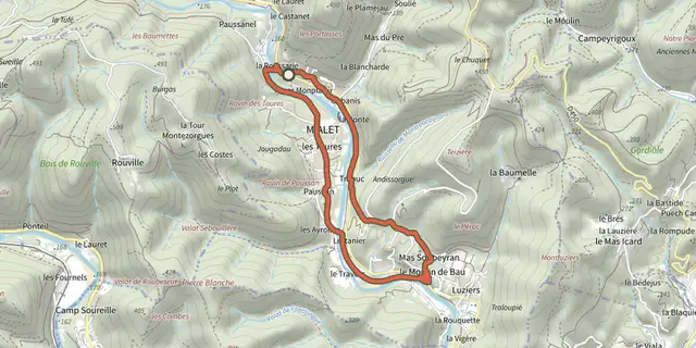 Plan IGN © IGN 2026Les berges du GardonCévennes, Mialet (30) · LoopOfficial rating by Parc national des Cévennes
 Plan IGN © IGN 2026The PuechsCévennes, Mialet (30) · LoopOfficial rating by Parc national des Cévennes