
St Marcel de Fontfouillouse

Key facts
- Distance
- 14.1 km
- Ascent
- +783 m
- Descent
- −598 m
- Estimated time
- 4 hr 25
- hiking
- Difficulty
- Moderate
- official rating
- Route
- Loop
- back to the start
Profile and gradient
- under 10%
- 10 to 20%
- over 20%
Gradient along the route: 10.9 km under 10% and 3.2 km at 10 to 20%. Elevation from 398 m to 905 m over 14.1 km.
Surface and path types
- Surface
- Paved 17%
- Dirt & gravel 83%
- Path types
- Trail 33%
- Track 50%
- Road 17%
Description
Explore the handsome hamlets and villages of this schist valley, and walk the ridge with its high-up views onto Mont Lozère, Fageas mountain and of course Mont Aigoual. The highpoints of this pretty circuit dotted with abandoned hamlets and bancels (crop terraces) is the magnificent 12th-century church of St-Marcel de Fontfouillouse and the 14th-century keep of Monteils. Signposts will guide you all along this route, as well as yellow painted waymarks. In the description below, the signposted place names and/or directions are given in bold italics between quotation marks: From the car park, start at the signpost “Les Plantiers”. Walk to "Col de Tinquos" via - "Auminières" and - “Fontfouillouse”. - At "Col de Tinquos" continue on the track past the signpost - "Aygues Bernesse" to “Col de l’Espinas”. - At “Col de l’Espinas” take the path on your left and then on your right and go down to the valley floor to “Faveyrolles”. - At “Faveyrolles” walk to “les Plantiers” via “Faveyrolles-Parking” and - “Les Monteils”. NB: in Monteils, take the path below the tower and cross the hamlet going downhill towards the tarred road. Return to “les Plantiers” via “Auminières” (1).
Difficulty
Official rating: moderate, by Parc national des Cévennes.
Before you go
- Before committing yourself to a circuit, ensure that it is suitable for your activity level and ability. Remember that the weather changes quickly in the mountains. Take enough water. Please close all gates and barriers behind you.
Getting there
Start: Les Plantiers, Les Plantiers (30).
Sources
- Track: Parc national des Cévennes, Licence Ouverte 1.0, Licence Ouverte 1.0 (Etalab) (destination.cevennes-parcnational.fr/trek/74828-St-Marcel-de-Fontfouillouse). Time estimated by GPX Path with the Mac app rule, breaks not included.
- Surface and path types: © OpenStreetMap contributors, ODbL, extract of 28 October 2026, matched to the track every 10 m (openstreetmap.org/copyright)
- Official elevation gain: 783 m, Parc national des Cévennes
Nearby tracks
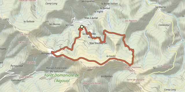
 Plan IGN © IGN 2026The wood pigeonCévennes, Les Plantiers (30) · LoopOfficial rating by Parc national des Cévennes
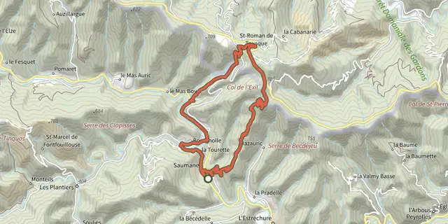 Plan IGN © IGN 2026L'ExilCévennes, Saumane (30) · LoopOfficial rating by Parc national des Cévennes
 Plan IGN © IGN 2026Goats’ BridgeCévennes, Saumane (30) · LoopOfficial rating by Parc national des Cévennes
 Plan IGN © IGN 2026The Rocher de l'Aigle (Eagle's Rock)Cévennes, Les Plantiers (30) · LoopOfficial rating by Parc national des Cévennes
 Plan IGN © IGN 2026Chemin des fileusesCévennes, L'Estréchure (30) · LoopOfficial rating by Parc national des Cévennes
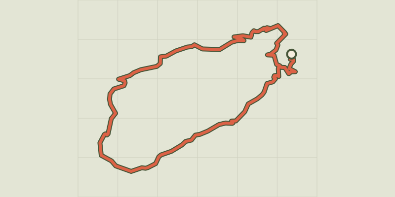 Plan IGN © IGN 2026Le SoultCévennes, L'Estréchure (30) · LoopOfficial rating by Parc national des Cévennes