
One foot in the Dourbie valley, the other in the Trévezel
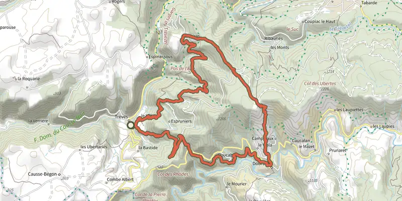
Key facts
- Distance
- 23.3 km
- Ascent
- +1,307 m
- Descent
- −1,069 m
- Estimated time
- 7 hr 30
- hiking
- Difficulty
- Moderate
- official rating
- Route
- Point to point
- ends elsewhere
Profile and gradient
- under 10%
- 10 to 20%
- over 20%
Gradient along the route: 13.8 km under 10%, 9.0 km at 10 to 20% and 0.5 km over 20%. Elevation from 557 m to 1,280 m over 23.3 km.
Surface and path types
- Surface
- Paved 16%
- Dirt & gravel 83%
- Unknown 1%
- Path types
- Trail 63%
- Track 20%
- Road 16%
- Off-network 1%
Description
From Trèves to the charming village of Dourbies, set your own pace to discover the beauty of a diverse landscape fashioned by humanity over a very long time. Fall under the spell of the northernmost small villages in the Gard department… Trèves, on the Trévezel river, has been carefully restored. On the ridge, views open up over the Dourbie river valley and its village. In the distance, you can make out Mont Aigoual. - Day 1 : 9 km from Trèves to Dourbies via Le Serre de Cade, waymarked yellow (PR). Climbs +587 m / descents -274 m; - Day 2 : 15 km from Dourbies to Trèves via the Col du Suquet pass, waymarked yellow (PR) and white/red (GR® 66). Climbs +641 m / descents -954 m.
Difficulty
Official rating: moderate, by Parc national des Cévennes.
Before you go
- Make sure your equipment is appropriate for the day’s weather conditions. Remember that the weather changes quickly in the mountains. Take enough water, wear sturdy shoes and put on a hat. Please close any gates and barriers behind you.
- Where to spend the night :
- Trèves :
- village campsite: 04 67 82 72 90.
- Dourbies :
- Village stopover gîte and restaurant: 06 28 72 12 56.
- Multi-service centre: 07 88 85 89 35.
Getting there
Start: Trèves, Trèves (30).
Sources
- Track: Parc national des Cévennes, Licence Ouverte 1.0, Licence Ouverte 1.0 (Etalab) (destination.cevennes-parcnational.fr/trek/84876-Un-pied-dans-la-Dourbie%2C-l-autre-dans-le-Trevezel). Time estimated by GPX Path with the Mac app rule, breaks not included.
- Surface and path types: © OpenStreetMap contributors, ODbL, extract of 28 October 2026, matched to the track every 10 m (openstreetmap.org/copyright)
- Official elevation gain: 1,307 m, Parc national des Cévennes
Nearby tracks
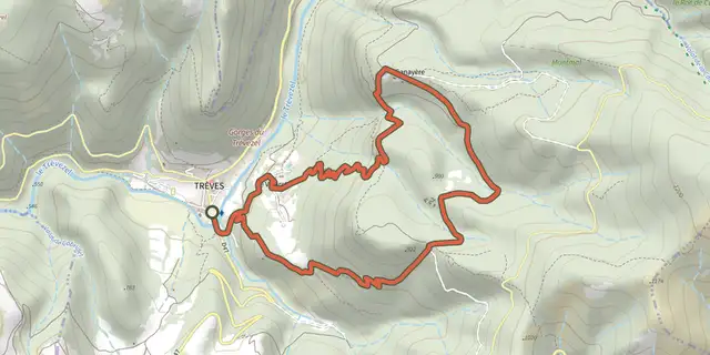
 Plan IGN © IGN 2026CanayèreCévennes, Trèves (30) · LoopOfficial rating by Parc national des Cévennes
 Plan IGN © IGN 2026Le Pas de l'AneCévennes, Trèves (30) · LoopOfficial rating by Parc national des Cévennes
 Plan IGN © IGN 2026The Causse de Canayère plateauCévennes, Trèves (30) · LoopOfficial rating by Parc national des Cévennes
 Plan IGN © IGN 2026Sentier de découverte - Canayère - indices de la vie ruraleCévennes, Trèves (30) · LoopOfficial rating by Parc national des Cévennes
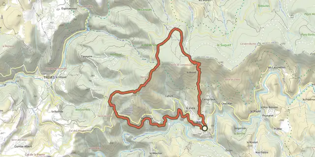 Plan IGN © IGN 2026Le Suquet ridgeCévennes, Dourbies (30) · LoopOfficial rating by Parc national des Cévennes
 Plan IGN © IGN 2026Sentier de La BourelleCévennes, Dourbies (30) · LoopOfficial rating by Parc national des Cévennes