
Lanuéjols
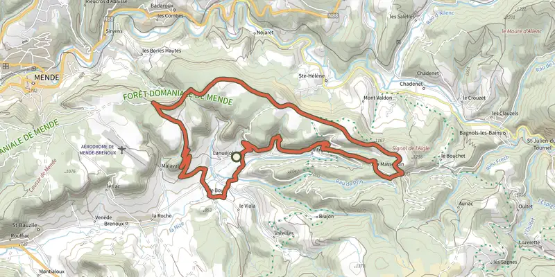
Key facts
- Distance
- 23.1 km
- Ascent
- +659 m
- Descent
- −552 m
- Estimated time
- 6 hr 20
- hiking
- Difficulty
- Moderate
- official rating
- Route
- Loop
- back to the start
Profile and gradient
- under 10%
- 10 to 20%
- over 20%
Gradient along the route: 21.6 km under 10% and 1.5 km at 10 to 20%. Elevation from 789 m to 1,207 m over 23.1 km.
Surface and path types
- Surface
- Paved 11%
- Dirt & gravel 89%
- Path types
- Trail 10%
- Track 79%
- Road 11%
Description
Mausoleum, châteaux, chapel, farms, hamlets, so many sites steeped in a history that simply begs to be told... The mausoleum takes you back to the Gallo-Roman period; the châteaux on their seigneurial land to the Middle Ages. On the Causse de Mende, Chapieu farm relives the era of large Causse farms, whilst in the valley the hamlets reflect today's agriculture. Human work has left its marks everywhere. Signposts will guide you all along this route, as well as yellow painted waymarks. In the description below, the signposted place names and/or directions are given in bold italics between quotation marks : Starting at « Lanuéjols », walk to « Chapieu » by : - « Église», - « Finiols », - « Condamine », - « Chapieu ». At « Chapieu » go to : - « La Valette », then: - « Plo de la Coste », - « Ron des Classes », - « Col de la Loubière ». At « Col de la Loubière », return to « Lanuéjols » by: - « Sous le col de la Loubière », - « Le Masseguin », - « Combe Sourde », by the chapel of St-Geniès, then: - « Vitrolles », - « La Coste » and « Église ». This hike is taken from the guidebook Mont Lozère, Pays des sources, de la montagne du Goulet aux gorges du Bramont, published by the Pôle de pleine nature du Mont Lozère.
Difficulty
Official rating: moderate, by Parc national des Cévennes.
Before you go
- Make sure your equipment is appropriate for the day's weather conditions. Remember that the weather changes quickly in the mountains. Take enough water, wear solid shoes and put on a hat. Please close all gates and barriers after yourself.
Getting there
Start: Lanuéjols, Lanuéjols (48).
Sources
- Track: Parc national des Cévennes, Licence Ouverte 1.0, Licence Ouverte 1.0 (Etalab) (destination.cevennes-parcnational.fr/trek/39665-Lanuejols). Time estimated by GPX Path with the Mac app rule, breaks not included.
- Surface and path types: © OpenStreetMap contributors, ODbL, extract of 28 October 2026, matched to the track every 10 m (openstreetmap.org/copyright)
- Official elevation gain: 659 m, Parc national des Cévennes
Nearby tracks
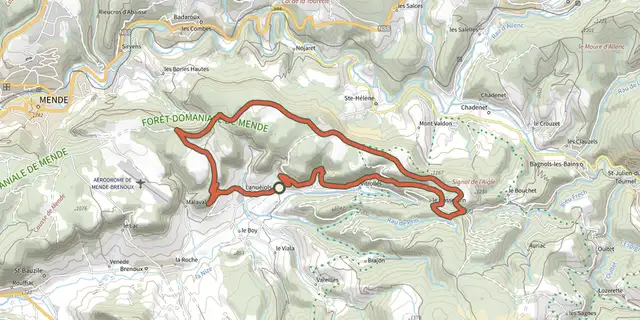
 Plan IGN © IGN 2026Causse du MasseguinCévennes, Lanuéjols (48) · LoopOfficial rating by Parc national des Cévennes
 Plan IGN © IGN 2026Roc de la GardetteCévennes, Lanuéjols (48) · LoopOfficial rating by Parc national des Cévennes
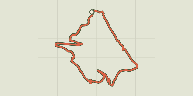 Plan IGN © IGN 2026Truc de BalducCévennes, Brenoux (48) · LoopOfficial rating by Parc national des Cévennes
 Plan IGN © IGN 2026The Bramont gorgeCévennes, Saint-Étienne-du-Valdonnez (48) · LoopOfficial rating by Parc national des Cévennes
 Plan IGN © IGN 2026La LoubièreCévennes, Chadenet (48) · LoopOfficial rating by Parc national des Cévennes
 Plan IGN © IGN 2026The old millCévennes, Chadenet (48) · LoopOfficial rating by Parc national des Cévennes