
Confluence de Loire

Key facts
- Distance
- 26.7 km
- Ascent
- +134 m
- Descent
- −134 m
- Estimated time
- 1 hr 20
- road cycling
- Difficulty
- Not rated
- Route
- Loop
- back to the start
Profile and gradient
- under 10%
- 10 to 20%
- over 20%
Gradient along the route: 26.7 km under 10%. Elevation from 64 m to 104 m over 26.7 km.
Difficulty
No official rating for this track: we do not make one up.
Getting there
Start: Les Montils, Candé-sur-Beuvron (41).
Sources
- Track: Région Centre-Val de Loire, boucles cyclo, Licence Ouverte 2.0, Licence Ouverte 2.0 (Etalab) (data.centrevaldeloire.fr/explore/dataset/cyclotourisme-boucles-cyclo/). Time estimated by GPX Path with the Mac app rule, breaks not included.
Nearby tracks
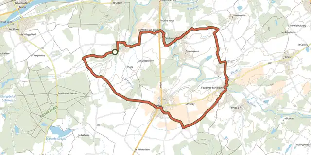
 Plan IGN © IGN 2026A travers les vignoblesCentre-Val de Loire, Valaire (41) · Loop
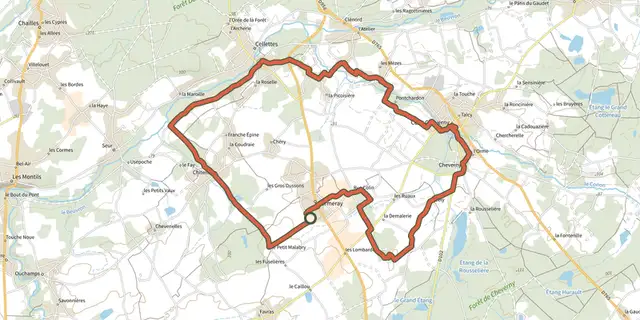 Plan IGN © IGN 2026Entre vignobles et ChâteauxCentre-Val de Loire, Cormeray (41) · Loop
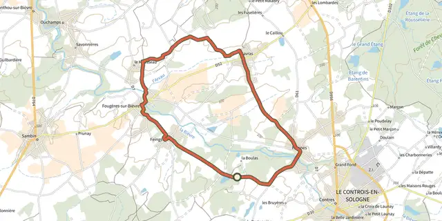 Plan IGN © IGN 2026La balade à remonter le tempsCentre-Val de Loire, Le Controis-en-Sologne (41) · Loop
 Plan IGN © IGN 2026Saveurs et SenteursCentre-Val de Loire, Mont-près-Chambord (41) · Loop
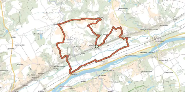 Plan IGN © IGN 2026Entre vignes et coteaux du Touraine-MeslandCentre-Val de Loire, Monteaux (41) · Loop
 Plan IGN © IGN 2026Au Royaume du CerfCentre-Val de Loire, Cour-Cheverny (41) · Loop