
GPX tracks in Brittany (page 23)
823 GPX tracks in Brittany, with distance, elevation gain and time for each track. Filter by department, sport, distance, elevation gain and time.
All GPX tracks in Brittany


 Plan IGN © IGN 2026 · track © OpenStreetMapLa PenmarchaiseBrittany, Penmarch (29) · Loop

 Plan IGN © IGN 2026 · track © OpenStreetMapLa Pierre EnfouieBrittany, Landéan (35) · Loop
 Plan IGN © IGN 2026 · track © OpenStreetMapLa PloteraisBrittany, Baulon (35) · Loop
 Plan IGN © IGN 2026 · track © OpenStreetMapLa pointe de BeuzecBrittany, Beuzec-Cap-Sizun (29) · Loop
 Plan IGN © IGN 2026La pointe du CapBrittany, Erquy (22) · LoopOfficial rating by Département des Côtes d'Armor
 Plan IGN © IGN 2026La Pointe du DiableBrittany, Plouzané (29) · Loop
 Plan IGN © IGN 2026 · track © OpenStreetMapLa pointe du GrouinBrittany, Cancale (35) · Point to point
 Plan IGN © IGN 2026 · track © OpenStreetMapLa pointe du MeingaBrittany, Saint-Coulomb (35) · Loop
 Plan IGN © IGN 2026 · track © OpenStreetMapLa porte de BrocéliandeBrittany, Montfort-sur-Meu (35) · Loop
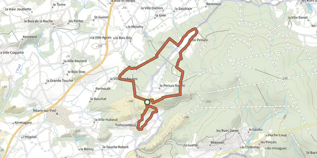 Plan IGN © IGN 2026 · track © OpenStreetMapLa Porte du CielBrittany, Tréhorenteuc (56) · Loop
 Plan IGN © IGN 2026La presqu'île de LandrellecBrittany, Pleumeur-Bodou (22) · Loop
 Plan IGN © IGN 2026 · track © OpenStreetMapLa Retenue de RophémelBrittany, Médréac (35) · Loop
 Plan IGN © IGN 2026 · track © OpenStreetMapLa Ria par les pinèdesBrittany, Plouhinec (56) · Point to point
 Plan IGN © IGN 2026 · track © OpenStreetMapLa rivière du BonoGulf of Morbihan, Le Bono (56) · Loop
 Plan IGN © IGN 2026La ronde de CambelBrittany, Broons (22) · LoopOfficial rating by Département des Côtes d'Armor
 Plan IGN © IGN 2026La ronde de Cambel (variante)Brittany, Broons (22) · LoopOfficial rating by Département des Côtes d'Armor
 Plan IGN © IGN 2026 · track © OpenStreetMapLa Tourbière de LangazelBrittany, Trémaouézan (29) · Loop
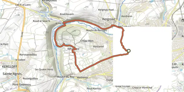 Plan IGN © IGN 2026 · track © OpenStreetMapLa vallée de l'HyèresBrittany, Carhaix-Plouguer (29) · Loop
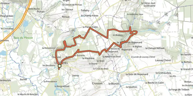 Plan IGN © IGN 2026 · track © OpenStreetMapLa Vallée de RopenardBrittany, Loutehel (35) · Loop
 Plan IGN © IGN 2026 · track © OpenStreetMapLa Vallée du CondatGulf of Morbihan, Saint-Nolff (56) · Loop
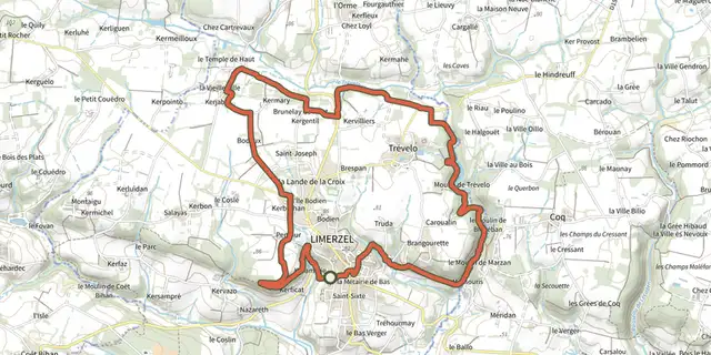 Plan IGN © IGN 2026 · track © OpenStreetMapLa Vallée du TréveloBrittany, Limerzel (56) · Loop
 Plan IGN © IGN 2026La Vicomté (Chemin du Prat et du Lyvet)Brittany, La Vicomté-sur-Rance (22) · Loop
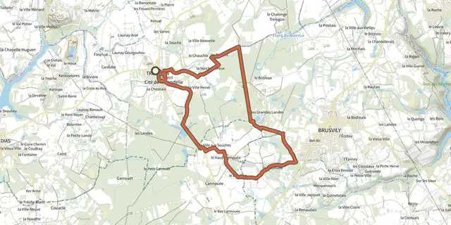 Plan IGN © IGN 2026La voie romaineBrittany, Trébédan (22) · LoopOfficial rating by Département des Côtes d'Armor
 Plan IGN © IGN 2026 · track © OpenStreetMapLandeaniumBrittany, Landéan (35) · Loop