
Hiking GPX tracks in Balagne (page 2)
50 GPX tracks in Balagne, with distance, elevation gain and time for each track. Filter by sport, distance, elevation gain and time.
All GPX tracks in Balagne


 Plan IGN © IGN 2026 · track © OpenStreetMapBoucle de San CiprianuBalagne, Pigna (2B) · Loop
 Plan IGN © IGN 2026 · track © OpenStreetMapBoucle de Sant'AndriaBalagne, Feliceto (2B) · Point to point
 Plan IGN © IGN 2026 · track © OpenStreetMapBoucle de Sant'AntoneBalagne, Belgodère (2B) · Loop
 Plan IGN © IGN 2026 · track © OpenStreetMapBoucle de VallicaBalagne, Vallica (2B) · Loop
 Plan IGN © IGN 2026 · track © OpenStreetMapBoucle du barrage de CodoleBalagne, Santa-Reparata-di-Balagna (2B) · Point to point
 Plan IGN © IGN 2026 · track © OpenStreetMapBoucle du CalatoghiuBalagne, Calenzana (2B) · Loop
 Plan IGN © IGN 2026 · track © OpenStreetMapBoucle du massif côtier de la Punta di TilariuBalagne, Palasca (2B) · Point to point
 Plan IGN © IGN 2026 · track © OpenStreetMapBoucle Funtana Suprana - MonticelloBalagne, Monticello (2B) · Loop
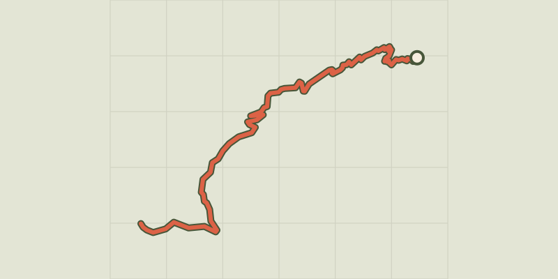 Plan IGN © IGN 2026 · track © OpenStreetMapChemin de Melaghja - Refuge D'Ortu di u PiobbuBalagne, Calenzana (2B) · Point to point
 Plan IGN © IGN 2026 · track © OpenStreetMapChemin de Pinzu a Stramba - Refuge D'Ortu di u PiobbuBalagne, Calenzana (2B) · Point to point
 Plan IGN © IGN 2026 · track © OpenStreetMapGiru di i Poghji di Santa Reparata di BalagnaBalagne, Santa-Reparata-di-Balagna (2B) · Loop
 Plan IGN © IGN 2026 · track © OpenStreetMapGiru di Santa ReparataBalagne, Santa-Reparata-di-Balagna (2B) · Loop
 Plan IGN © IGN 2026 · track © OpenStreetMapGiru L'Île-Rousse - Sta Reparata - MonticelloBalagne, L'Île-Rousse (2B) · Loop
 Plan IGN © IGN 2026 · track © OpenStreetMapGiru Occiglioni-PalmentuBalagne, Santa-Reparata-di-Balagna (2B) · Loop
 Plan IGN © IGN 2026 · track © OpenStreetMapLama - UrtacaBalagne, Urtaca (2B) · Point to point
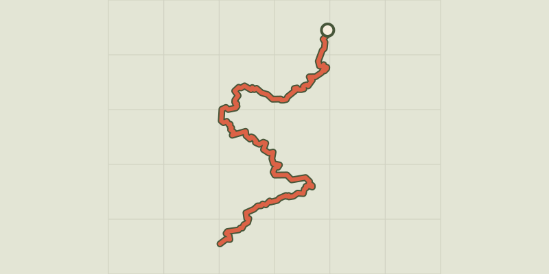 Plan IGN © IGN 2026 · track © OpenStreetMapMare è Monti Nord PrincipalBalagne, Calenzana (2B) · Point to point
 Plan IGN © IGN 2026 · track © OpenStreetMapMausoleoBalagne, Pioggiola (2B) · Point to point
 Plan IGN © IGN 2026 · track © OpenStreetMapMonte ToluBalagne, Pioggiola (2B) · Point to point
 Plan IGN © IGN 2026 · track © OpenStreetMapPaese à Paese Lumiu-LavatoghjuBalagne, Lavatoggio (2B) · Point to point
 Plan IGN © IGN 2026 · track © OpenStreetMapReparata-Ile RousseBalagne, L'Île-Rousse (2B) · Point to point
 Plan IGN © IGN 2026 · track © OpenStreetMapSentier de la TranshumanceBalagne, Corscia (2B) · Point to point
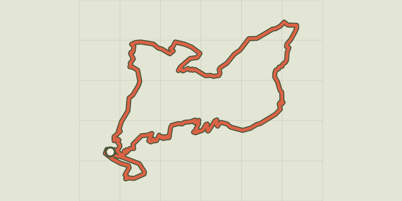 Plan IGN © IGN 2026 · track © OpenStreetMapSentier du Patrimoine de LamaBalagne, Lama (2B) · Loop
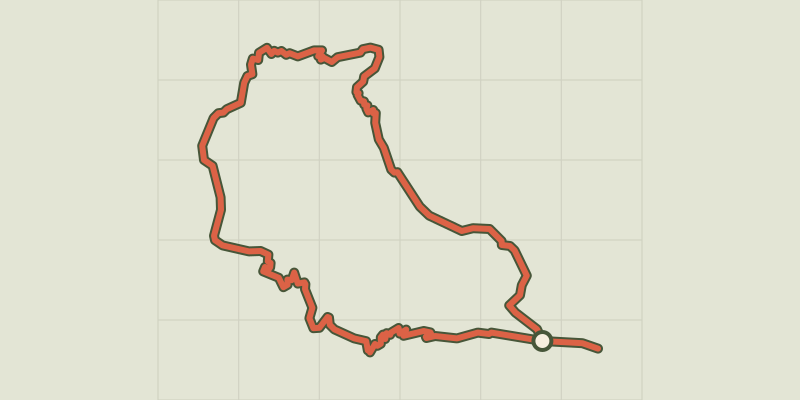 Plan IGN © IGN 2026 · track © OpenStreetMapSentier du Patrimoine de LumioBalagne, Lavatoggio (2B) · Loop
 Plan IGN © IGN 2026 · track © OpenStreetMapSentier du Patrimoine de PioggiolaBalagne, Pioggiola (2B) · Loop