
Hiking GPX tracks in Auvergne (page 17)
439 GPX tracks in Auvergne, with distance, elevation gain and time for each track. Filter by department, sport, distance, elevation gain and time.
All GPX tracks in Auvergne

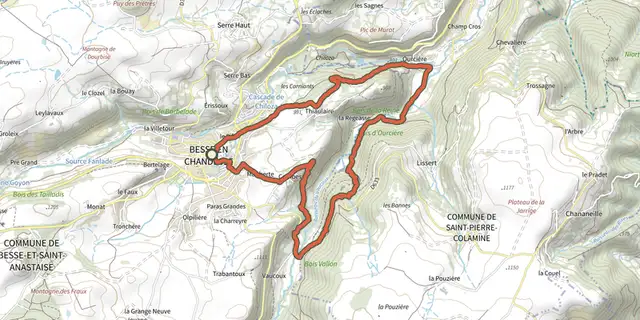
 Plan IGN © IGN 2026OurcièreAuvergne, Besse-et-Saint-Anastaise (63) · Loop
 Plan IGN © IGN 2026Peyre-MayouAuvergne, Saint-Pierre-la-Bourlhonne (63) · Loop
 Plan IGN © IGN 2026Pierre PamoleAuvergne, Vollore-Montagne (63) · Loop
 Plan IGN © IGN 2026Plateau de la Chavade et la Roche NitéAuvergne, Valbeleix (63) · Loop
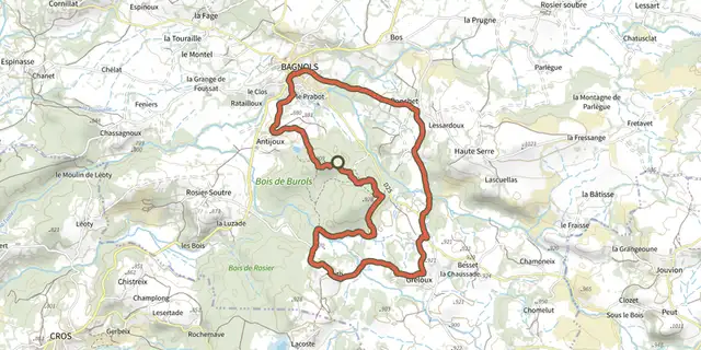 Plan IGN © IGN 2026PonchetAuvergne, Bagnols (63) · Loop
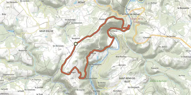 Plan IGN © IGN 2026Pont de MenatAuvergne, Menat (63) · Loop
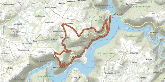 Plan IGN © IGN 2026Pont du BouchetAuvergne, Miremont (63) · Loop
 Plan IGN © IGN 2026Puy de Combegrasse et narse d'EspinasseAuvergne, Saulzet-le-Froid (63) · Loop
 Plan IGN © IGN 2026RandolAuvergne, Saint-Saturnin (63) · Loop
 Plan IGN © IGN 2026RedonAuvergne, Ceyrat (63) · Loop
 Plan IGN © IGN 2026RiolsAuvergne, Marsac-en-Livradois (63) · Loop
 Plan IGN © IGN 2026Roche RomaineAuvergne, Murol (63) · Loop
 Plan IGN © IGN 2026Roche Tuiliere et SanadoireAuvergne, Rochefort-Montagne (63) · Loop
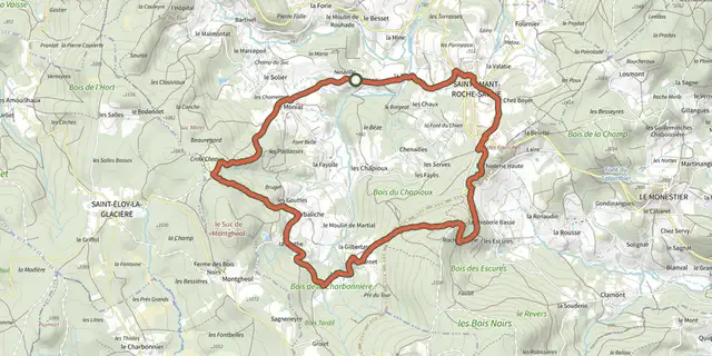 Plan IGN © IGN 2026Roche-SavineAuvergne, Saint-Amant-Roche-Savine (63) · Loop
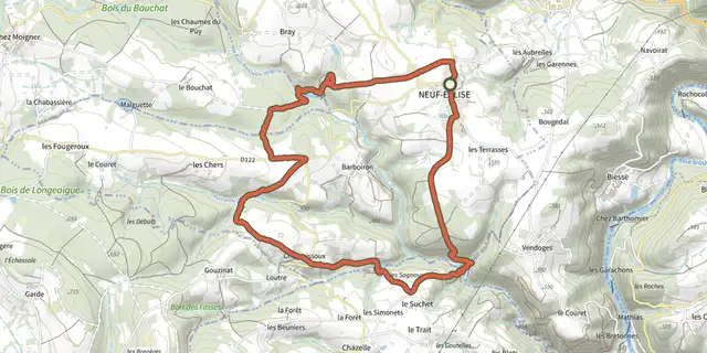 Plan IGN © IGN 2026Ruisseau de BortAuvergne, Neuf-Église (63) · Loop
 Plan IGN © IGN 2026Ruisseau du TyxAuvergne, Condat-en-Combraille (63) · Loop
 Plan IGN © IGN 2026Saint Jean Saint GervaisAuvergne, Jumeaux (63) · Loop
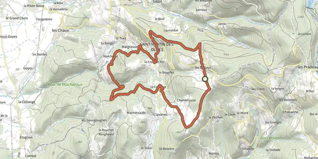 Plan IGN © IGN 2026Saint Martin Des OlmesAuvergne, Saint-Martin-des-Olmes (63) · Loop
 Plan IGN © IGN 2026Saint-Amant-Roche-Savine / AmbertAuvergne, Saint-Amant-Roche-Savine (63) · Point to point
 Plan IGN © IGN 2026Saint-GervazyAuvergne, Vichel (63) · Loop
 Plan IGN © IGN 2026Saint-JamesAuvergne, Marat (63) · Loop
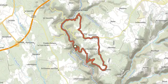 Plan IGN © IGN 2026 · track © OpenStreetMapSaint-Jean-du-DesertAuvergne, Savennes (63) · Loop
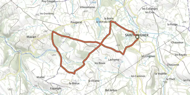 Plan IGN © IGN 2026Saint-MaignerAuvergne, Saint-Maigner (63) · Loop
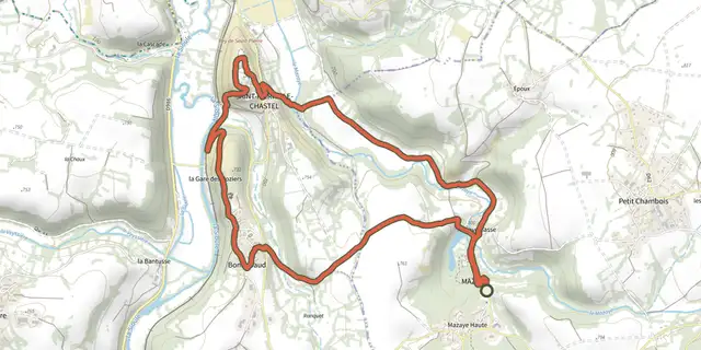 Plan IGN © IGN 2026Saint-Pierre-le-ChastelAuvergne, Mazaye (63) · Loop