
Tour of the Montagne du Buègue

Key facts
- Distance
- 15.2 km
- Ascent
- +745 m
- Descent
- −707 m
- Estimated time
- 4 hr 55
- hiking
- Difficulty
- Moderate
- official rating
- Route
- Loop
- back to the start
Profile and gradient
- under 10%
- 10 to 20%
- over 20%
Gradient along the route: 10.2 km under 10%, 4.5 km at 10 to 20% and 0.4 km over 20%. Elevation from 594 m to 1,039 m over 15.2 km.
Surface and path types
- Surface
- Paved 13%
- Dirt & gravel 76%
- Unknown 11%
- Path types
- Trail 43%
- Track 45%
- Road 12%
Description
A hike for good walkers, tomeet the traces of the rural and pastoral life of the Mountain Bugee. This road proposes to go around themountain of Buègue starting from the plateau of Saint-Laurent and passing by the suspended valley of Léoux. This hike allows you to discover, between passes and valleys, several points of view on the surrounding landscapes and associated with specific traits of the agriculture of drymountain. From the parking lot of the Croix de Bodon, turn right onto the tarmac road to Bodon Abbey, 250m away. After the abbey, go past the roadside house and take the paved road up towards the top of the plateau. 1 - Go up on the winding tar path to the highest farm where the small road turns into a dirt road. Follow this path for 2km to reach the lavender field at the top of the plateau. The signpost of Col de Saint-May is located 30m east of the lavender field. 2 - At the Col de Saint-May (975m) take the first trail to the right descending in ubac towards "Rémuzat" by the "Ravine du Col". (Be careful shortly after departure, passing overhanging and sloping on the side of amarl!) Follow the path along the creek until you come to a path that you follow to the left. Cross the little brook to go up steeply on a road that you leave in the first turn to take a path on the right that passes in front of the ruins of an old farm with a linden planted in front. Continue up the trail, past another ruin on the way to the Col de Pensier (1002m), which you will reach a little further. 3 - Go down the wide trail to reach the valley of Léoux and reach the road after a farm. At the bridge, do not cross the creek, turn left along the river. In the turn that leads to a farm, turn right and follow the trail which gradually rises above the stream until losing it and join a house at the place "Bergerie de la Botte". Stay behind the house, continue along the trail which slopes to the left, change slopes, and join the shoulder of themountain in front. 4 - Upon arriving on the ridge, leave the path for a path down left on the south flank. The trail joins the small road from Saint-May to the Plateau Saint-Laurent. Climb back up and rejoin the starting point.
Difficulty
Official rating: moderate, by Parcs naturels régionaux de Provence-Alpes-Côte d'Azur.
Getting there
Start: Croix de Bodon, Saint-May, Saint-May (26).
Sources
- Track: Parcs naturels régionaux de Provence-Alpes-Côte d'Azur (Chemins des Parcs), Licence Ouverte 2.0, Licence Ouverte 2.0 (Etalab) (www.cheminsdesparcs.fr/trek/55817-SAINT-MAY---Du-Buegue-au-Caire). Time estimated by GPX Path with the Mac app rule, breaks not included.
- Surface and path types: © OpenStreetMap contributors, ODbL, extract of 28 October 2026, matched to the track every 10 m (openstreetmap.org/copyright)
- Official elevation gain: 745 m, Parcs naturels régionaux de Provence-Alpes-Côte d'Azur
Nearby tracks
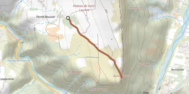
 Plan IGN © IGN 2026Le plateau de Saint-LaurentAuvergne-Rhône-Alpes, Saint-May (26) · Out and backOfficial rating by Parcs naturels régionaux de Provence-Alpes-Côte d'Azur
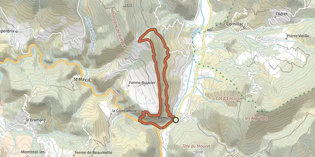 Plan IGN © IGN 2026Remuzat - Le rocher du CaireAuvergne-Rhône-Alpes, Rémuzat (26) · LoopOfficial rating by Parcs naturels régionaux de Provence-Alpes-Côte d'Azur
 Plan IGN © IGN 2026Villeperdrix - Sentier des oliviersAuvergne-Rhône-Alpes, Villeperdrix (26) · LoopOfficial rating by Parcs naturels régionaux de Provence-Alpes-Côte d'Azur
 Plan IGN © IGN 2026Montreal-les-Sources - Sur les traces des sourcesAuvergne-Rhône-Alpes, Montréal-les-Sources (26) · LoopOfficial rating by Parcs naturels régionaux de Provence-Alpes-Côte d'Azur
 Plan IGN © IGN 2026Le Pas des OndesAuvergne-Rhône-Alpes, Cornillon-sur-l'Oule (26) · LoopOfficial rating by Parcs naturels régionaux de Provence-Alpes-Côte d'Azur
 Plan IGN © IGN 2026Sahune - Marcel et DevèsAuvergne-Rhône-Alpes, Sahune (26) · LoopOfficial rating by Parcs naturels régionaux de Provence-Alpes-Côte d'Azur