
Traces GPX de randonnée en Hauts-de-France (page 5)
212 traces GPX en Hauts-de-France, avec distance, dénivelé et durée pour chaque trace. Filtrez par département, sport, distance, dénivelé et durée.
Toutes les traces GPX en Hauts-de-France


 Plan IGN © IGN 2026 · tracé © OpenStreetMapLe Fond PignonHauts-de-France, Sangatte (62) · Traversée
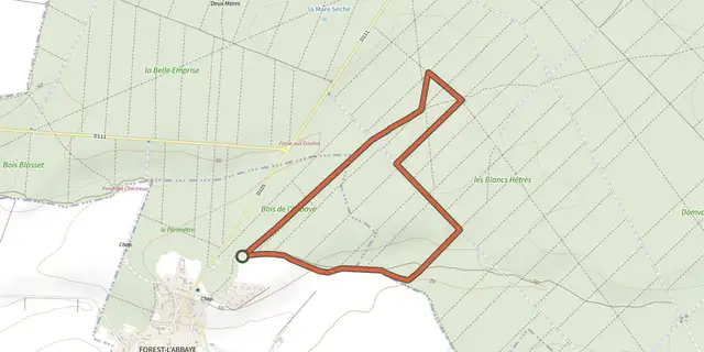 Plan IGN © IGN 2026 · tracé © OpenStreetMapLe HallotHauts-de-France, Forest-l'Abbaye (80) · Boucle
 Plan IGN © IGN 2026 · tracé © OpenStreetMapLe HonlieuHauts-de-France, Montcavrel (62) · Boucle
 Plan IGN © IGN 2026 · tracé © OpenStreetMapLe HourdelHauts-de-France, Cayeux-sur-Mer (80) · Boucle
 Plan IGN © IGN 2026 · tracé © OpenStreetMapLe HourquetHauts-de-France, Samer (62) · Boucle
 Plan IGN © IGN 2026 · tracé © OpenStreetMapLe Marais de GlisyHauts-de-France, Glisy (80) · Traversée
 Plan IGN © IGN 2026 · tracé © OpenStreetMapLe Mont DauphinHauts-de-France, Colembert (62) · Boucle
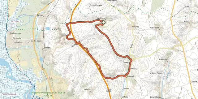 Plan IGN © IGN 2026 · tracé © OpenStreetMapLe Mont de l'EpineHauts-de-France, Widehem (62) · Boucle
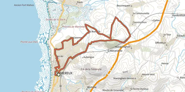 Plan IGN © IGN 2026 · tracé © OpenStreetMapLe Mont DuezHauts-de-France, Wimereux (62) · Boucle
 Plan IGN © IGN 2026 · tracé © OpenStreetMapLe mont Saint-MardHauts-de-France, Trosly-Breuil (60) · Boucle
 Plan IGN © IGN 2026 · tracé © OpenStreetMapLe Mont-ColletHauts-de-France, Trosly-Breuil (60) · Boucle
 Plan IGN © IGN 2026 · tracé © OpenStreetMapLe Moulin de VervalHauts-de-France, Quesques (62) · Boucle
 Plan IGN © IGN 2026 · tracé © OpenStreetMapLe Parc de l'AbbayeHauts-de-France, Liessies (59) · Boucle
 Plan IGN © IGN 2026 · tracé © OpenStreetMapLe Parcours ImpérialHauts-de-France, Wimille (62) · Boucle
 Plan IGN © IGN 2026 · tracé © OpenStreetMapLe Passage aux LoupsHauts-de-France, Daours (80) · Boucle
 Plan IGN © IGN 2026 · tracé © OpenStreetMapLe Puits du TempliersHauts-de-France, Avroult (62) · Boucle
 Plan IGN © IGN 2026 · tracé © OpenStreetMapLe RendalHauts-de-France, Maninghen-Henne (62) · Boucle
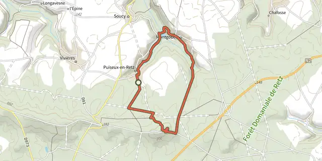 Plan IGN © IGN 2026 · tracé © OpenStreetMapLe Ru de RetzHauts-de-France, Puiseux-en-Retz (02) · Boucle
 Plan IGN © IGN 2026 · tracé © OpenStreetMapLe TronquoyHauts-de-France, Aix-en-Ergny (62) · Traversée
 Plan IGN © IGN 2026 · tracé © OpenStreetMapLe Vert Buisson et BrodeHauts-de-France, Sains-du-Nord (59) · Boucle
 Plan IGN © IGN 2026 · tracé © OpenStreetMapLe Vieux BéthisyHauts-de-France, Béthisy-Saint-Pierre (60) · Boucle
 Plan IGN © IGN 2026 · tracé © OpenStreetMapLes 400 CoupsHauts-de-France, Ponthoile (80) · Boucle
 Plan IGN © IGN 2026 · tracé © OpenStreetMapLes AnsereuillesHauts-de-France, Allennes-les-Marais (59) · Boucle
 Plan IGN © IGN 2026 · tracé © OpenStreetMapLes AuteuxHauts-de-France, Miannay (80) · Boucle