
Traces GPX en Hauts-de-France
175 traces GPX en Hauts-de-France, avec distance, dénivelé et durée pour chaque trace. Filtrez par département, sport, distance, dénivelé et durée.
Départements en Hauts-de-France
Filtrez la liste ci-dessous par département.
Régions
Choisissez une région sur la carte ou ci-dessous. En gris : pas encore de traces.
Toutes les traces GPX en Hauts-de-France
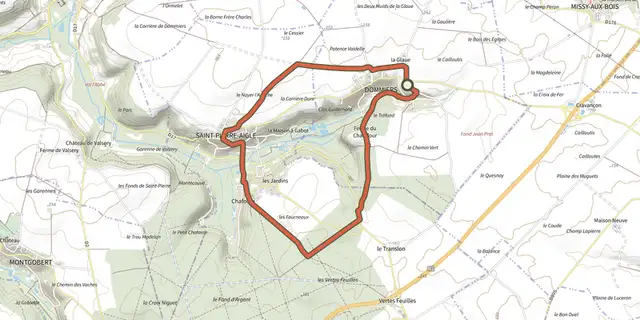
 Plan IGN © IGN 2026 · tracé © OpenStreetMapA la Lisière de RetzHauts-de-France, Dommiers (02) · Boucle
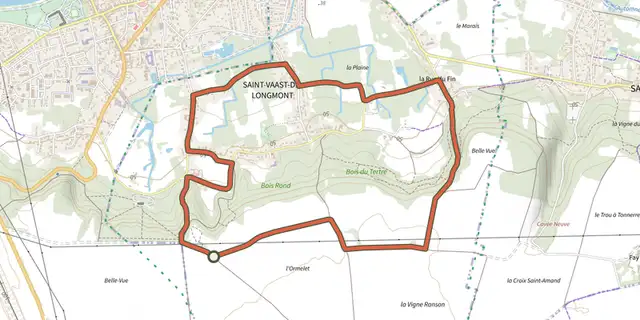 Plan IGN © IGN 2026 · tracé © OpenStreetMapA Saint-Vaast, de la Vallée au PlateauHauts-de-France, Saint-Vaast-de-Longmont (60) · Boucle
 Plan IGN © IGN 2026 · tracé © OpenStreetMapAmbleteuse Cité HistoriqueHauts-de-France, Ambleteuse (62) · Boucle
 Plan IGN © IGN 2026 · tracé © OpenStreetMapAu Bord de l'OurcqHauts-de-France, La Ferté-Milon (02) · Boucle
 Plan IGN © IGN 2026 · tracé © OpenStreetMapAu Cœur de la FlandreHauts-de-France, Cassel (59) · Boucle
 Plan IGN © IGN 2026 · tracé © OpenStreetMapAu temps des FortificationsHauts-de-France, Rue (80) · Boucle
 Plan IGN © IGN 2026 · tracé © OpenStreetMapAu-Dessus du Petit MorinHauts-de-France, Vendières (02) · Boucle
 Plan IGN © IGN 2026 · tracé © OpenStreetMapAutour du château de VersignyHauts-de-France, Versigny (60) · Boucle
 Plan IGN © IGN 2026 · tracé © OpenStreetMapAutour du Chêne MobbsHauts-de-France, Saint-Sauveur (60) · Boucle
 Plan IGN © IGN 2026 · tracé © OpenStreetMapBalade au CrotoyHauts-de-France, Le Crotoy (80) · Boucle
 Plan IGN © IGN 2026 · tracé © OpenStreetMapBalade en Pays de MormalHauts-de-France, Preux-au-Sart (59) · Boucle
 Plan IGN © IGN 2026 · tracé © OpenStreetMapBallade à Saint-ValéryHauts-de-France, Saint-Valery-sur-Somme (80) · Boucle
 Plan IGN © IGN 2026 · tracé © OpenStreetMapBoucle dans les GombriesHauts-de-France, Boissy-Fresnoy (60) · Boucle
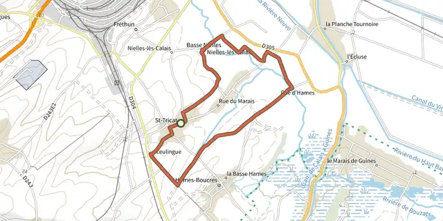 Plan IGN © IGN 2026 · tracé © OpenStreetMapBoucle des MaraisHauts-de-France, Saint-Tricat (62) · Boucle
 Plan IGN © IGN 2026 · tracé © OpenStreetMapCeinture de BoulogneHauts-de-France, Boulogne-sur-Mer (62) · Boucle
 Plan IGN © IGN 2026 · tracé © OpenStreetMapChâteau de Régnière-EcluseHauts-de-France, Regnière-Écluse (80) · Boucle
 Plan IGN © IGN 2026 · tracé © OpenStreetMapChemin de la FolieHauts-de-France, Bonningues-lès-Calais (62) · Boucle
 Plan IGN © IGN 2026 · tracé © OpenStreetMapChemin de la LicorneHauts-de-France, Gommegnies (59) · Boucle
 Plan IGN © IGN 2026 · tracé © OpenStreetMapChemin des LarronsHauts-de-France, Cousolre (59) · Boucle
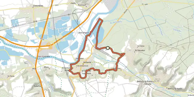
 Plan IGN © IGN 2026 · tracé © OpenStreetMapCircuit cyclotouriste de la CCBAHauts-de-France, Verberie (60) · Boucle
 Plan IGN © IGN 2026 · tracé © OpenStreetMapCircuit d'AvesnellesHauts-de-France, Avesnelles (59) · Boucle
 Plan IGN © IGN 2026 · tracé © OpenStreetMapCircuit de DrancourtHauts-de-France, Estrébœuf (80) · Boucle
 Plan IGN © IGN 2026 · tracé © OpenStreetMapCircuit de Jovis MontHauts-de-France, Jeumont (59) · Boucle
 Plan IGN © IGN 2026 · tracé © OpenStreetMapCircuit de l'EscrièreHauts-de-France, Colleret (59) · Boucle