
Traces GPX de randonnée dans les Écrins (page 7)
252 traces GPX dans les Écrins, avec distance, dénivelé et durée pour chaque trace. Filtrez par département, sport, distance, dénivelé et durée.
Toutes les traces GPX dans les Écrins


 Plan IGN © IGN 2026Le plateau du TailleferÉcrins, Ornon (38) · Aller-retourCotation officielle selon Parc national des Écrins
 Plan IGN © IGN 2026Le promontoire de PrégentilÉcrins, Villard-Reymond (38) · Aller-retourCotation officielle selon Parc national des Écrins
 Plan IGN © IGN 2026Le refuge Adèle PlanchardÉcrins, Villar-d'Arêne (05) · Aller-retourCotation officielle selon Parc national des Écrins
 Plan IGN © IGN 2026Le refuge de Font TurbatÉcrins, Valjouffrey (38) · Aller-retourCotation officielle selon Parc national des Écrins
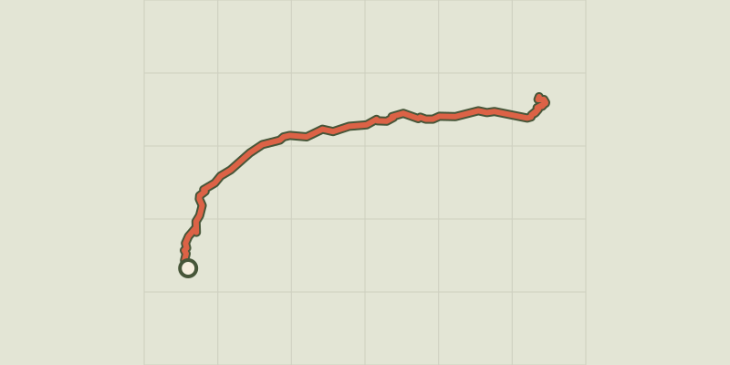 Plan IGN © IGN 2026Le refuge de la SelleÉcrins, Saint-Christophe-en-Oisans (38) · Aller-retourCotation officielle selon Parc national des Écrins
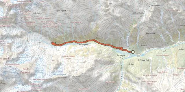 Plan IGN © IGN 2026Le refuge des BansÉcrins, Vallouise-Pelvoux (05) · Aller-retourCotation officielle selon Parc national des Écrins
 Plan IGN © IGN 2026Le refuge du CarreletÉcrins, Saint-Christophe-en-Oisans (38) · Aller-retourCotation officielle selon Parc national des Écrins
 Plan IGN © IGN 2026Le refuge du glacier BlancÉcrins, Vallouise-Pelvoux (05) · Aller-retourCotation officielle selon Parc national des Écrins
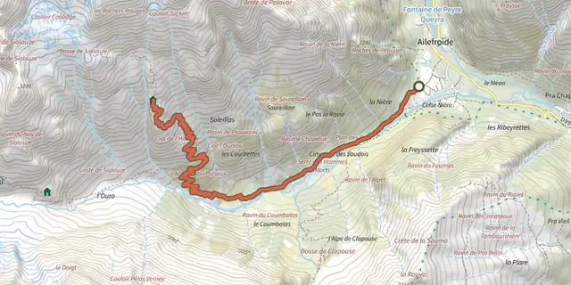 Plan IGN © IGN 2026Le refuge du PelvouxÉcrins, Vallouise-Pelvoux (05) · Aller-retourCotation officielle selon Parc national des Écrins
 Plan IGN © IGN 2026Le refuge du SéléÉcrins, Vallouise-Pelvoux (05) · Aller-retourCotation officielle selon Parc national des Écrins
 Plan IGN © IGN 2026Le refuge du SoreillerÉcrins, Saint-Christophe-en-Oisans (38) · Aller-retourCotation officielle selon Parc national des Écrins
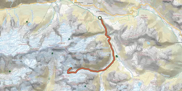 Plan IGN © IGN 2026Le refuge et le lac du PavéÉcrins, Villar-d'Arêne (05) · Aller-retourCotation officielle selon Parc national des Écrins
 Plan IGN © IGN 2026Le refuge Évariste Chancel depuis La GraveÉcrins, La Grave (05) · Aller-retourCotation officielle selon Parc national des Écrins
 Plan IGN © IGN 2026Le refuge Temple EcrinsÉcrins, Saint-Christophe-en-Oisans (38) · Aller-retourCotation officielle selon Parc national des Écrins
 Plan IGN © IGN 2026Le refuge TuckettÉcrins, Vallouise-Pelvoux (05) · Aller-retourCotation officielle selon Parc national des Écrins
 Plan IGN © IGN 2026Le Saut du LaireÉcrins, Orcières (05) · Aller-retourCotation officielle selon Parc national des Écrins
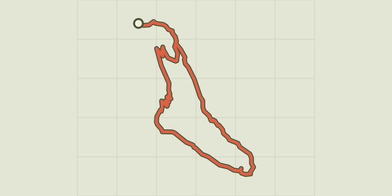 Plan IGN © IGN 2026Le Saut du Laire par le BassetÉcrins, Orcières (05) · BoucleCotation officielle selon Parc national des Écrins
 Plan IGN © IGN 2026Le sentier des canauxÉcrins, Puy-Saint-Vincent (05) · BoucleCotation officielle selon Parc national des Écrins
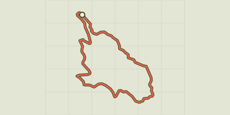 Plan IGN © IGN 2026Le sentier des lutinsÉcrins, Vallouise-Pelvoux (05) · BoucleCotation officielle selon Parc national des Écrins
 Plan IGN © IGN 2026Le Sentier des mineursÉcrins, L'Argentière-la-Bessée (05) · BoucleCotation officielle selon Parc national des Écrins
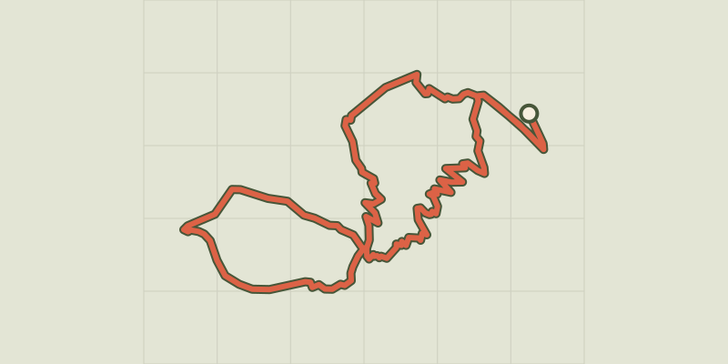 Plan IGN © IGN 2026Le sentier des mulesÉcrins, La Grave (05) · BoucleCotation officielle selon Parc national des Écrins
 Plan IGN © IGN 2026Le Sentier du Patrimoine de Puy Saint VincentÉcrins, Puy-Saint-Vincent (05) · Aller-retourCotation officielle selon Parc national des Écrins
 Plan IGN © IGN 2026Le sentier du RoyÉcrins, La Motte-en-Champsaur (05) · BoucleCotation officielle selon Parc national des Écrins
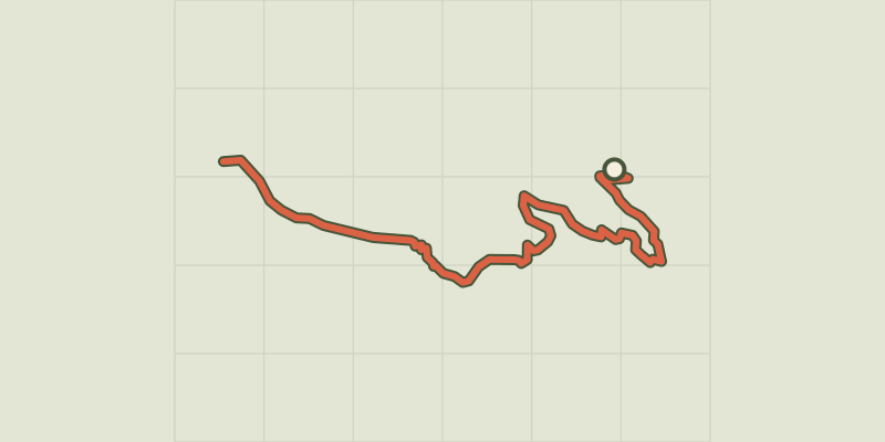 Plan IGN © IGN 2026Le Serre du MoutonÉcrins, Réallon (05) · Aller-retourCotation officielle selon Parc national des Écrins