
Traces GPX de randonnée dans les Écrins (page 6)
246 traces GPX dans les Écrins, avec distance, dénivelé et durée pour chaque trace. Filtrez par département, sport, distance, dénivelé et durée.
Toutes les traces GPX dans les Écrins


 Plan IGN © IGN 2026Le lac du DistroitÉcrins, Châteauroux-les-Alpes (05) · Aller-retourCotation officielle selon Parc national des Écrins
 Plan IGN © IGN 2026Le lac du FangeasÉcrins, Freissinières (05) · Aller-retourCotation officielle selon Parc national des Écrins
 Plan IGN © IGN 2026Le lac du Goléon depuis les TerrassesÉcrins, La Grave (05) · Aller-retourCotation officielle selon Parc national des Écrins
 Plan IGN © IGN 2026Le Lac du Goléon par le Cruq des AiguillesÉcrins, La Grave (05) · BoucleCotation officielle selon Parc national des Écrins
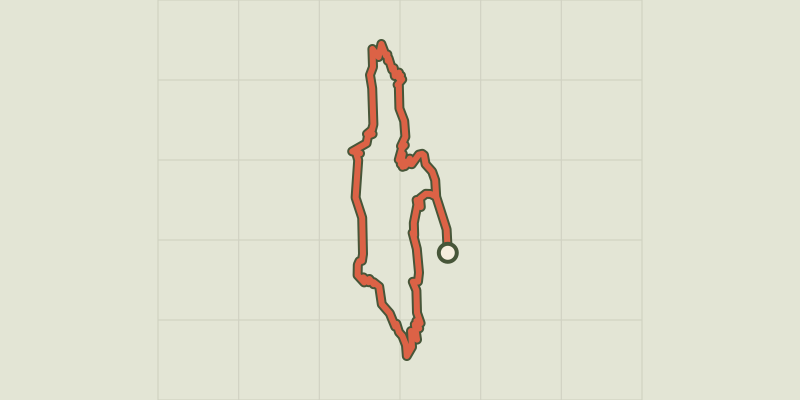 Plan IGN © IGN 2026Le lac du LauzonÉcrins, La Chapelle-en-Valgaudémar (05) · BoucleCotation officielle selon Parc national des Écrins
 Plan IGN © IGN 2026Le lac Gary par le VetÉcrins, Entraigues (38) · Aller-retourCotation officielle selon Parc national des Écrins
 Plan IGN © IGN 2026Le lac LauvitelÉcrins, Les Deux Alpes (38) · BoucleCotation officielle selon Parc national des Écrins
 Plan IGN © IGN 2026Le lac Lovitel et le refuge des ClotsÉcrins, Mizoën (38) · Aller-retourCotation officielle selon Parc national des Écrins
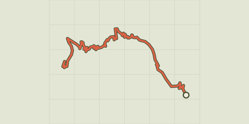 Plan IGN © IGN 2026Le PalastreÉcrins, Saint-Jean-Saint-Nicolas (05) · Aller-retourCotation officielle selon Parc national des Écrins
 Plan IGN © IGN 2026Le Pas de l'OlanÉcrins, La Chapelle-en-Valgaudémar (05) · BoucleCotation officielle selon Parc national des Écrins
 Plan IGN © IGN 2026Le Pas de la CavaleÉcrins, L'Argentière-la-Bessée (05) · Aller-retourCotation officielle selon Parc national des Écrins
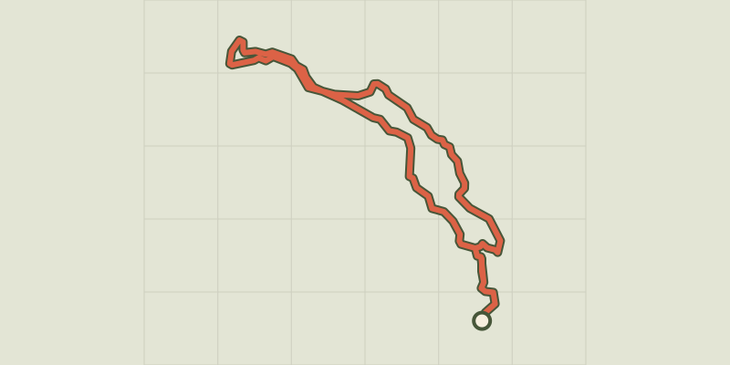 Plan IGN © IGN 2026Le Peuple des OiseauxÉcrins, Réallon (05) · BoucleCotation officielle selon Parc national des Écrins
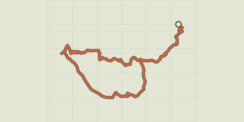 Plan IGN © IGN 2026Le Pic de MorgonÉcrins, Crots (05) · BoucleCotation officielle selon Parc national des Écrins
 Plan IGN © IGN 2026Le Pic de Morgon par Pierre ArnouxÉcrins, Savines-le-Lac (05) · Aller-retourCotation officielle selon Parc national des Écrins
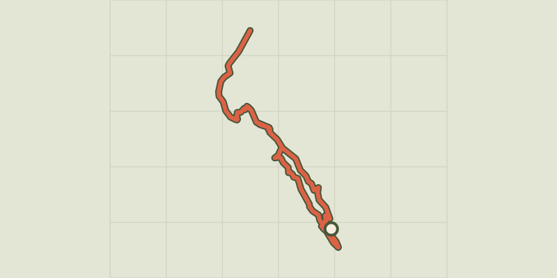 Plan IGN © IGN 2026Le Pic du Mas de La GraveÉcrins, La Grave (05) · Aller-retourCotation officielle selon Parc national des Écrins
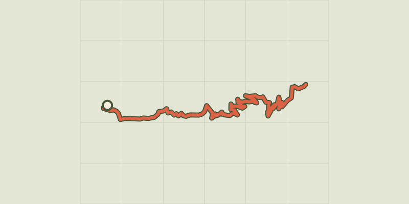 Plan IGN © IGN 2026Le PiolitÉcrins, Ancelle (05) · Aller-retourCotation officielle selon Parc national des Écrins
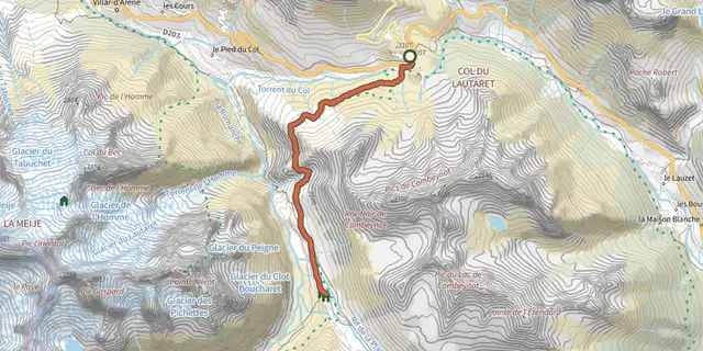 Plan IGN © IGN 2026Le Plan de l'Alpe de Villar par le sentier des CrevassesÉcrins, Villar-d'Arêne (05) · Aller-retourCotation officielle selon Parc national des Écrins
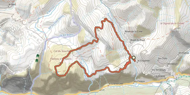 Plan IGN © IGN 2026Le plateau d'Emparis et ses lacs - lac noir et lac lériéÉcrins, La Grave (05) · BoucleCotation officielle selon Parc national des Écrins
 Plan IGN © IGN 2026Le plateau du TailleferÉcrins, Ornon (38) · Aller-retourCotation officielle selon Parc national des Écrins
 Plan IGN © IGN 2026Le promontoire de PrégentilÉcrins, Villard-Reymond (38) · Aller-retourCotation officielle selon Parc national des Écrins
 Plan IGN © IGN 2026Le refuge Adèle PlanchardÉcrins, Villar-d'Arêne (05) · Aller-retourCotation officielle selon Parc national des Écrins
 Plan IGN © IGN 2026Le refuge de Font TurbatÉcrins, Valjouffrey (38) · Aller-retourCotation officielle selon Parc national des Écrins
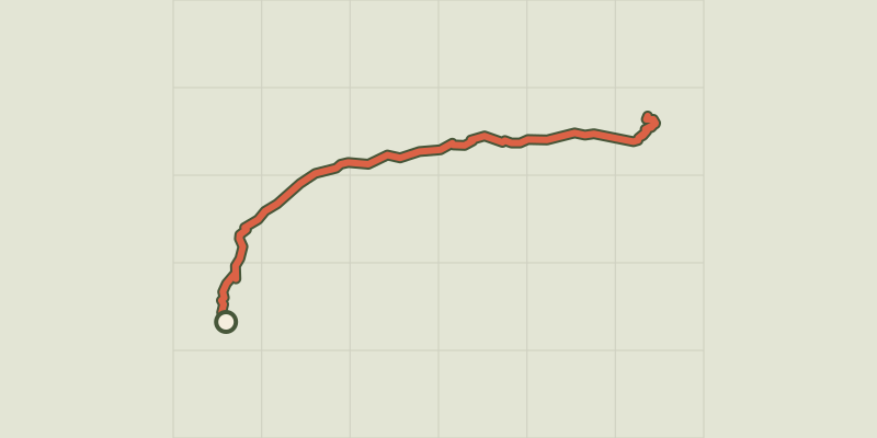 Plan IGN © IGN 2026Le refuge de la SelleÉcrins, Saint-Christophe-en-Oisans (38) · Aller-retourCotation officielle selon Parc national des Écrins
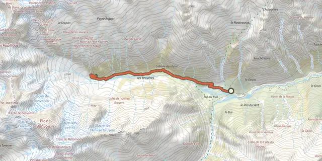 Plan IGN © IGN 2026Le refuge des BansÉcrins, Vallouise-Pelvoux (05) · Aller-retourCotation officielle selon Parc national des Écrins