
The botanical trail of Tréguier

Key facts
- Distance
- 4.2 km
- Ascent
- +128 m
- Descent
- −102 m
- Estimated time
- 1 hr 10
- hiking
- Difficulty
- Easy
- official rating
- Route
- Out and back
- same way back
Profile and gradient
- under 10%
- 10 to 20%
- over 20%
Gradient along the route: 3.8 km under 10%, 0.2 km at 10 to 20% and 0.2 km over 20%. Elevation from 649 m to 743 m over 4.2 km.
Surface and path types
- Surface
- Paved 2%
- Dirt & gravel 98%
- Path types
- Trail 93%
- Track 5%
- Road 2%
Description
This walk will enable you to discover the village of Moustiers with its terrace crops sustained by dry-stone walls called "restanques" and olive plantations. Roaming the botanical trail of Tréguier is to discover twenty information boards on different plant species of the area. It is walking up to a promontory overlooking the valley of Angouire with a remarkable view of lake Sainte-Croix. Coming out the car park of the heights of Moustiers, go straight to the cemetery. Pass it and go towards the Chapel of St. Anne. Now head to the terrace crop area. After the olive groves, continue under the oaks in the middle of the restanques. Walk on flat ground for 1km. 1 - Then gradually go up on the left. 2 - At the crossroads, climb the path on the left and roam through a new decking area. Cross the ravine of Courchon and join after a slight rise in the woods, the rocky outcrop overlooking the valley of Angouire. Follow the signs and stay on the ledge to watch the valley of Angouire below (vertiginous path!). 3 - The same route is used for the return.
Difficulty
Official rating: easy, by Parcs naturels régionaux de Provence-Alpes-Côte d'Azur.
Before you go
- 300 last metres to go, a difficult path among slippery blocks in wet weather. Vertiginous rocky peak (747m).
Getting there
Start: Devant la Chapelle Sainte-Anne, Moustiers-Sainte-Marie, Moustiers-Sainte-Marie (04).
Sources
- Track: Parcs naturels régionaux de Provence-Alpes-Côte d'Azur (Chemins des Parcs), Licence Ouverte 2.0, Licence Ouverte 2.0 (Etalab) (www.cheminsdesparcs.fr/trek/19834-MOUSTIERS-SAINTE-MARIE---Le-sentier-botanique-de-Treguier). Time estimated by GPX Path with the Mac app rule, breaks not included.
- Surface and path types: © OpenStreetMap contributors, ODbL, extract of 28 October 2026, matched to the track every 10 m (openstreetmap.org/copyright)
- Official elevation gain: 128 m, Parcs naturels régionaux de Provence-Alpes-Côte d'Azur
Nearby tracks
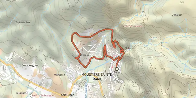
 Plan IGN © IGN 2026Moustiers-Sainte-Marie - Les ClauxVerdon, Moustiers-Sainte-Marie (04) · LoopOfficial rating by Parcs naturels régionaux de Provence-Alpes-Côte d'Azur
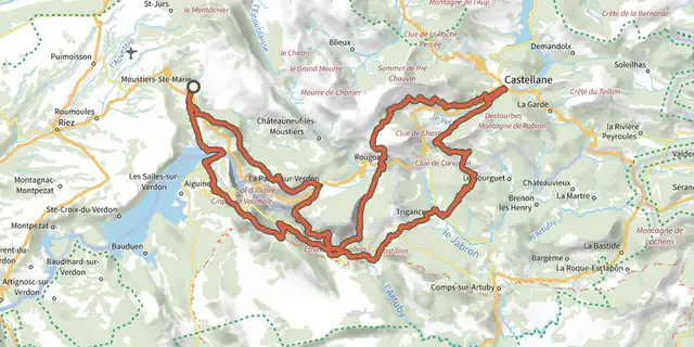 Plan IGN © IGN 2026Tour des Gorges du VerdonVerdon, Moustiers-Sainte-Marie (04) · Point to pointOfficial rating by Parcs naturels régionaux de Provence-Alpes-Côte d'Azur
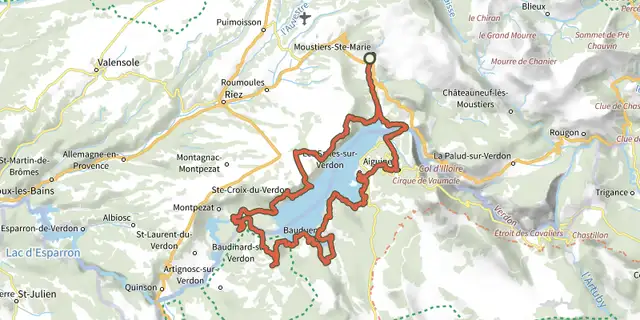 Plan IGN © IGN 2026Moustiers-Sainte-Marie - Le Tour du lac de Sainte-CroixVerdon, Moustiers-Sainte-Marie (04) · Point to pointOfficial rating by Parcs naturels régionaux de Provence-Alpes-Côte d'Azur
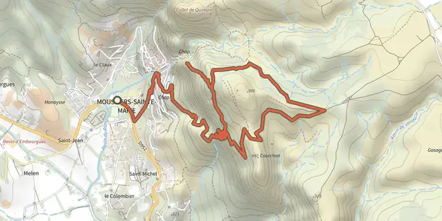 Plan IGN © IGN 2026The Courchon pathVerdon, Moustiers-Sainte-Marie (04) · LoopOfficial rating by Parcs naturels régionaux de Provence-Alpes-Côte d'Azur
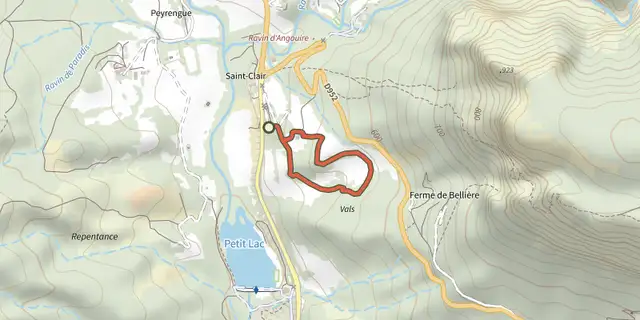 Plan IGN © IGN 2026Moustiers-Sainte-Marie - Le sentier découverte de ValxVerdon, Moustiers-Sainte-Marie (04) · LoopOfficial rating by Parcs naturels régionaux de Provence-Alpes-Côte d'Azur
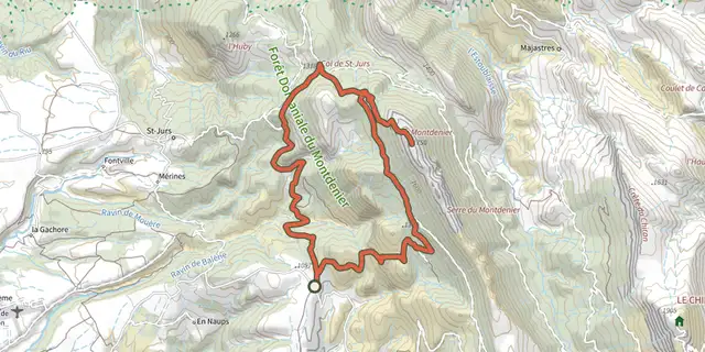 Plan IGN © IGN 2026Moustiers-Sainte-Marie - Le sommet du MontdenierVerdon, Moustiers-Sainte-Marie (04) · LoopOfficial rating by Parcs naturels régionaux de Provence-Alpes-Côte d'Azur