
Les Amoureux by mountain bike
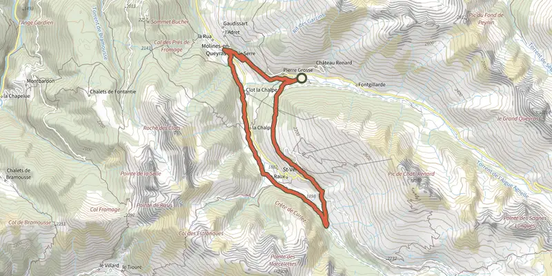
Key facts
- Distance
- 14.4 km
- Ascent
- +406 m
- Descent
- −348 m
- Estimated time
- 1 hr 45
- mtb
- Difficulty
- Moderate
- official rating
- Route
- Loop
- back to the start
Profile and gradient
- under 10%
- 10 to 20%
- over 20%
Gradient along the route: 14.0 km under 10% and 0.4 km at 10 to 20%. Elevation from 1,709 m to 2,039 m over 14.4 km.
Surface and path types
- Surface
- Paved 48%
- Dirt & gravel 52%
- Path types
- Trail 3%
- Track 49%
- Road 48%
Description
A beautiful ride through forests, villages and riversides. A nice route with beautiful views. Tree rope climbing, going out for drinks or touring the villages of Saint Véran and Molines-en-Queyras could be coupled with this trip. Leave the car park and take the forest road. Go into the "Bois des Amoureux", cross the tree rope climbing and the "Chalet des Amoureux". 1 - At the end of the climb, go through the Saint Véran village by the main road. 2 - After a short descent at the border of the village, take the road to the left at a hairpin turn on the right. Continue until a turning area with picnic tables. 3 - Take the descending path to the right. Reach the Aigue Blanche stream, cross it and turn right on the track and then take the single track by the riverside until reaching at the bottom of Molines-en-Queyras at 1709m of altitude. 4 - Cross the river by a bridge and reach the RD 5 after a short climb. Turn left, ride over 300m and follow to the right the direction of Col Agnel and Italy. Continue on the RD 205, reach Pierre Grosse and at the village exit, turn right at the Chanterane bridge.
Difficulty
Official rating: moderate, by Parcs naturels régionaux de Provence-Alpes-Côte d'Azur.
Getting there
Start: Parking du Pont de Chanterane, Molines-en-Queyras, Molines-en-Queyras (05).
Sources
- Track: Parcs naturels régionaux de Provence-Alpes-Côte d'Azur (Chemins des Parcs), Licence Ouverte 2.0, Licence Ouverte 2.0 (Etalab) (www.cheminsdesparcs.fr/trek/31639-MOLINES----Les-Amoureux-a-VTT). Time estimated by GPX Path with the Mac app rule, breaks not included.
- Surface and path types: © OpenStreetMap contributors, ODbL, extract of 28 October 2026, matched to the track every 10 m (openstreetmap.org/copyright)
- Official elevation gain: 406 m, Parcs naturels régionaux de Provence-Alpes-Côte d'Azur
Nearby tracks
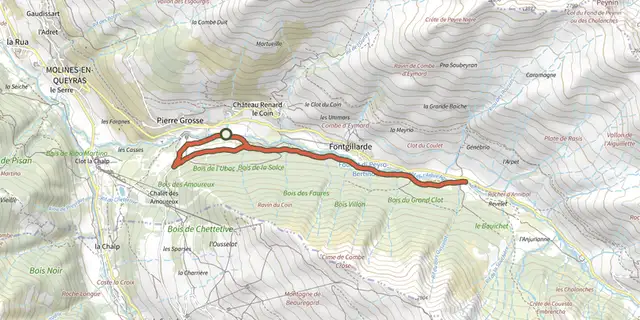
 Plan IGN © IGN 2026The Ariane on mountain bikeQueyras, Molines-en-Queyras (05) · Out and backOfficial rating by Parcs naturels régionaux de Provence-Alpes-Côte d'Azur
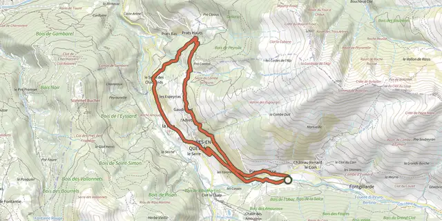 Plan IGN © IGN 2026The Canal de Pierre Dimanche by mountain bikeQueyras, Molines-en-Queyras (05) · LoopOfficial rating by Parcs naturels régionaux de Provence-Alpes-Côte d'Azur
 Plan IGN © IGN 2026Marassan - la Bleue on mountain bikeQueyras, Aiguilles (05) · LoopOfficial rating by Parcs naturels régionaux de Provence-Alpes-Côte d'Azur
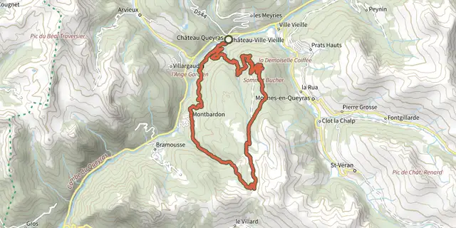 Plan IGN © IGN 2026Sommet Bucher on mountain bikeQueyras, Château-Ville-Vieille (05) · LoopOfficial rating by Parcs naturels régionaux de Provence-Alpes-Côte d'Azur
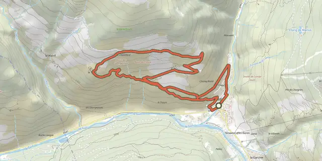 Plan IGN © IGN 2026The Tirail on mountain bikeQueyras, Abriès-Ristolas (05) · LoopOfficial rating by Parcs naturels régionaux de Provence-Alpes-Côte d'Azur
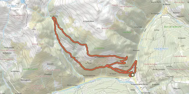 Plan IGN © IGN 2026The Bertins on mountain bikeQueyras, Abriès-Ristolas (05) · LoopOfficial rating by Parcs naturels régionaux de Provence-Alpes-Côte d'Azur