
Pic du Midi d'Ossau loop

Key facts
- Distance
- 15.5 km
- Ascent
- +1,020 m
- Descent
- −1,006 m
- Estimated time
- 6 hr
- hiking
- Difficulty
- Hard
- official rating
- Route
- Loop
- back to the start
Official time: 7 hr
Profile and gradient
- under 10%
- 10 to 20%
- over 20%
Gradient along the route: 6.2 km under 10%, 8.1 km at 10 to 20% and 1.2 km over 20%. Elevation from 1,415 m to 2,306 m over 15.5 km.

Description
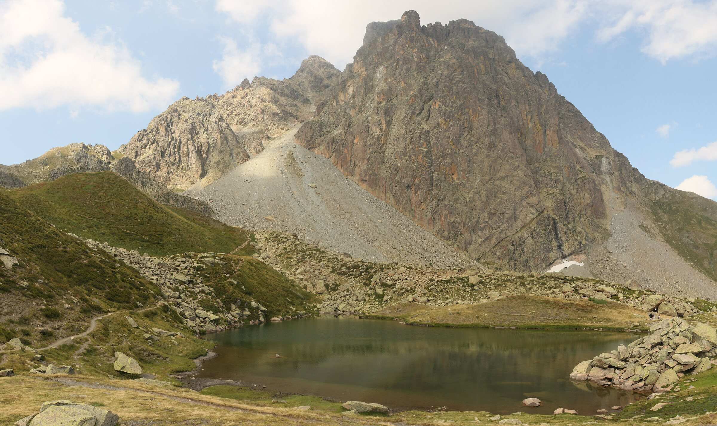
This walk circles the whole Pic du Midi d'Ossau from Lac de Bious-Artigues. You first climb through forest to the flat shoulder of the Col Long de Magnabaigt, then cross the stream in the Magnabaigt valley to reach the Col de Suzon. The path then heads south to the Pombie hut, skirts the lake behind it, crosses a large scree slope below the east face of the peak, and climbs in steep zigzags to the Col de Peyreget, the high point at about 2,310 m. The descent passes Lac de Peyreget and the Peyreget hut, then zigzags through forest and avalanche gullies down to the Bious plateau. Our track measures 15.5 km with 1,001 m of ascent; the Béarn Pyrénées sheet gives 15.4 km, 1,020 m and 7 hr, and says it is for good walkers only. There are no painted waymarks, only direction signs on a yellow background. The Pombie hut is in the National Park core zone: dogs are not allowed and bivouac is only permitted from 7 pm to 9 am.
Difficulty
Official rating: hard, by Béarn Pyrénées, tourisme64 (site touristique départemental des Pyrénées-Atlantiques).
Before you go
- No painted waymarks: only direction signs on a yellow background.
- Large scree slope below the east face, steep zigzags, avalanche gullies on the way down.
- The Pombie hut is in the National Park core zone: dogs not allowed, bivouac only from 7 pm to 9 am and more than an hour's walk from any road.
Getting there
Start: Lac de Bious-Artigues car park, Laruns (64).
By car: Ossau valley via Laruns and Gabas, then the road to Lac de Bious-Artigues.
By public transport: No public transport listed on the official sheet.
Season
Snow-free months, when the Bious-Artigues road is open (May to October). Scree and avalanche gullies on the route: check snow cover early in the season.
Sources
- Track: © OpenStreetMap contributors, ODbL 1.0 (www.openstreetmap.org/copyright). Time estimated by GPX Path with the Mac app rule, breaks not included.
- Official time: 7 hr, tourisme64.com
- Official elevation gain: 1,020 m, Béarn Pyrénées (tourisme64)
- Le tour de l'OssauBéarn Pyrénées (tourisme64), accessed 27 October 2026
- Le refuge de PombieBéarn Pyrénées (tourisme64), accessed 27 October 2026
- Animaux domestiques (réglementation du cœur)Parc national des Pyrénées, accessed 27 October 2026
- Campement et bivouac (réglementation du cœur)Parc national des Pyrénées, accessed 27 October 2026
Nearby tracks
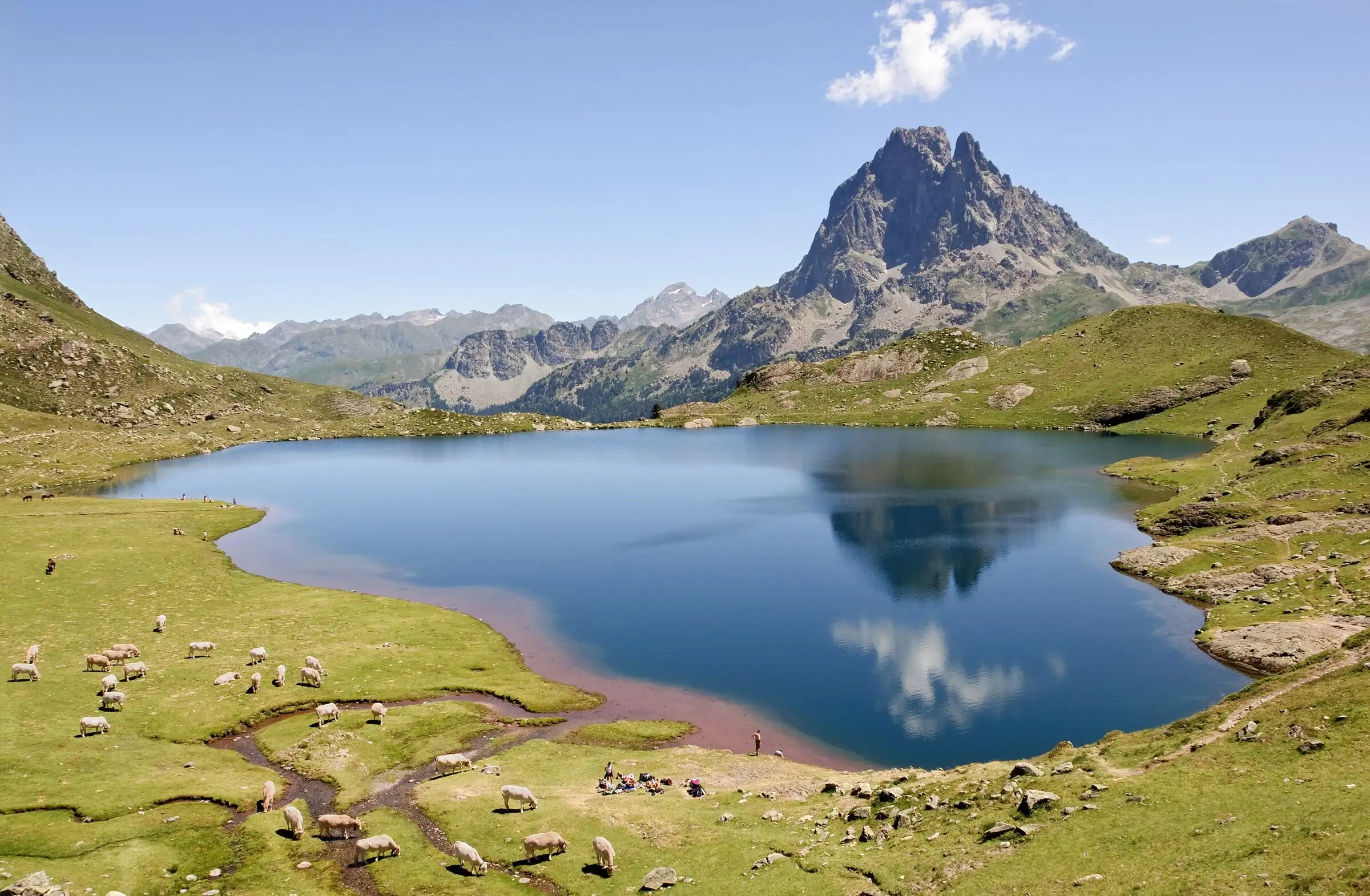
 Ayous lakes from Bious-ArtiguesPyrenees, Laruns (64) · Out and backOfficial rating by Béarn Pyrénées, tourisme64 (site touristique départemental des Pyrénées-Atlantiques)
 Plan IGN © IGN 2026 · track © OpenStreetMapTour Urdos - Bérat asp66Pyrenees, Urdos (64) · Loop
 Plan IGN © IGN 2026 · track © OpenStreetMapTour de Busteigts asp58Pyrenees, Etsaut (64) · Loop
 Plan IGN © IGN 2026 · track © OpenStreetMapLa montagne vertePyrenees, Eaux-Bonnes (64) · Loop
 Plan IGN © IGN 2026 · track © OpenStreetMapLa promenade des trois villagesPyrenees, Eaux-Bonnes (64) · Loop
 Plan IGN © IGN 2026 · track © OpenStreetMapTour du Lac d'Arlet asp68Pyrenees, Borce (64) · Loop