
Hiking GPX tracks in the Pyrenees (page 2)
33 GPX tracks in the Pyrenees, with distance, elevation gain and time for each track. Filter by department, sport, distance, elevation gain and time.
All GPX tracks in the Pyrenees


 Plan IGN © IGN 2026 · track © OpenStreetMapTour Bilboquet-Barescou asp01Pyrenees, Escot (64) · Loop
 Plan IGN © IGN 2026 · track © OpenStreetMapTour de Busteigts asp58Pyrenees, Etsaut (64) · Loop
 Plan IGN © IGN 2026 · track © OpenStreetMapTour de la Borde de Bouhaben asp26Pyrenees, Accous (64) · Loop
 Plan IGN © IGN 2026 · track © OpenStreetMapTour du Belvédère asp47Pyrenees, Lescun (64) · Loop
 Plan IGN © IGN 2026 · track © OpenStreetMapTour du Lac d'Arlet asp68Pyrenees, Borce (64) · Loop
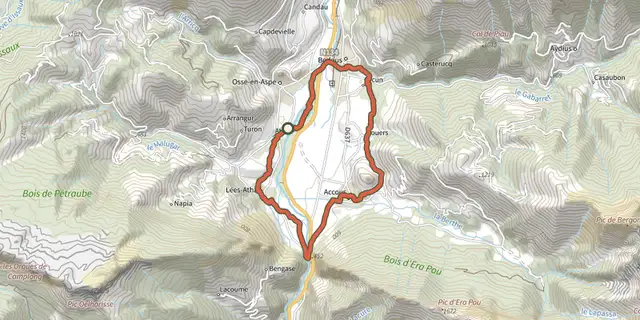 Plan IGN © IGN 2026 · track © OpenStreetMapTour du Vallon asp11Pyrenees, Lées-Athas (64) · Loop
 Plan IGN © IGN 2026 · track © OpenStreetMapTour Urdos - Bérat asp66Pyrenees, Urdos (64) · Loop
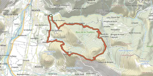 Plan IGN © IGN 2026 · track © OpenStreetMapTrail de Bergout asp24Pyrenees, Bedous (64) · Loop
 Plan IGN © IGN 2026 · track © OpenStreetMapTrail du Layens par Pirait asp36Pyrenees, Osse-en-Aspe (64) · Loop