
Boucles de la Madeleine

Key facts
- Distance
- 13.3 km
- Ascent
- +53 m
- Descent
- −51 m
- Estimated time
- 3 hr 05
- hiking
- Difficulty
- Not rated
- Route
- Loop
- back to the start
Profile and gradient
- under 10%
- 10 to 20%
- over 20%
Gradient along the route: 13.3 km under 10%. Elevation from 6 m to 33 m over 13.3 km.
Difficulty
No official rating for this track: we do not make one up.
Getting there
Start: GUERANDE, Guérande (44).
Sources
- Track: Cap Atlantique, La Baule-Guérande Agglo, Licence Ouverte 2.0, Licence Ouverte 2.0 (Etalab) (data.capatlantique.fr/explore/dataset/244400610_circuits-rando/). Time estimated by GPX Path with the Mac app rule, breaks not included.
Nearby tracks

 Plan IGN © IGN 2026Circuit des KerPays de la Loire, Saint-Lyphard (44) · LoopOfficial rating by Département de Loire-Atlantique
 Plan IGN © IGN 2026Terre BrièrePays de la Loire, Saint-André-des-Eaux (44) · Loop
 Plan IGN © IGN 2026Kercabus - BOUCLE NORD DE GUERANDEPays de la Loire, Guérande (44) · Point to point
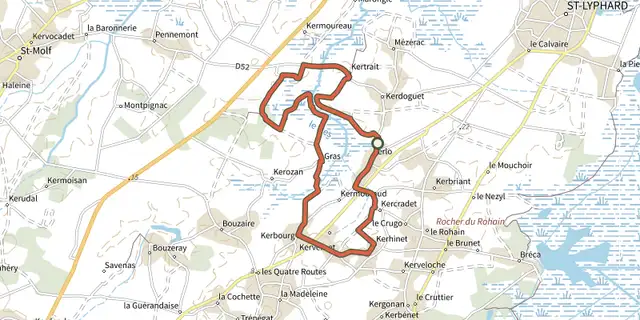 Plan IGN © IGN 2026Entre chaumières et maraisPays de la Loire, Saint-Lyphard (44) · LoopOfficial rating by Département de Loire-Atlantique
 Plan IGN © IGN 2026De Montpignac aux LandesPays de la Loire, Saint-Molf (44) · Loop
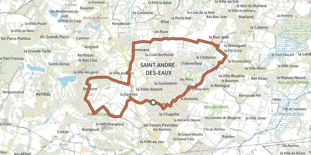 Plan IGN © IGN 2026Les GascieuxPays de la Loire, Saint-André-des-Eaux (44) · Loop