
GPX tracks in France (page 202)
7,023 GPX tracks in France, with distance, elevation gain and time for each track. Pick a region on the map, then filter by department, sport, distance, elevation gain and time.
All GPX tracks in France
Activity : All activities

 Plan IGN © IGN 2026Le Val d'OrneNormandy, Thury-Harcourt-le-Hom (14) · Loop

 Plan IGN © IGN 2026Le val de Conie - boucle n°28Centre-Val de Loire, Cormainville (28) · Point to pointOfficial rating by Conseil départemental d'Eure-et-Loir et Eure-et-Loir Tourisme
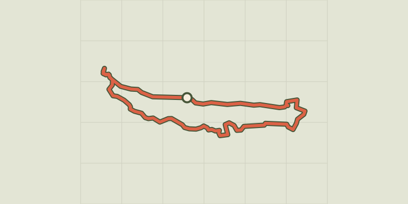
 Plan IGN © IGN 2026Le Val de MorgeAuvergne, Saint-Ignat (63) · Loop
 Plan IGN © IGN 2026Le Val la HèreNormandy, Pont-d'Ouilly (14) · Loop
 Plan IGN © IGN 2026Le Val RoyNormandy, Ouffières (14) · Loop
 Plan IGN © IGN 2026Le valat de ValestalièreCévennes, Monoblet (30) · LoopOfficial rating by Parc national des Cévennes
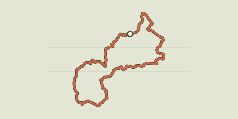 Plan IGN © IGN 2026Le valat du pont de FossemaleOccitanie, Vabres (30) · LoopOfficial rating by Parc national des Cévennes
 Plan IGN © IGN 2026 · track © OpenStreetMapLe VallonVosges, Fresse-sur-Moselle (88) · Loop
 Plan IGN © IGN 2026The Buffe valleyÉcrins, La Grave (05) · LoopOfficial rating by Parc national des Écrins
 Plan IGN © IGN 2026La Chalp valleyÉcrins, Valjouffrey (38) · Out and backOfficial rating by Parc national des Écrins
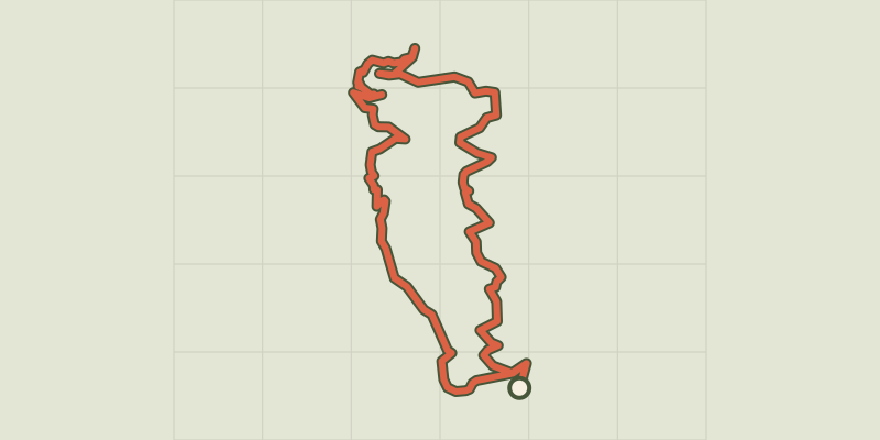 Plan IGN © IGN 2026Le vallon de la ViouzeAuvergne, Saint-Georges-de-Mons (63) · Loop
 Plan IGN © IGN 2026Le vallon de LanchâtraÉcrins, Saint-Christophe-en-Oisans (38) · Out and backOfficial rating by Parc national des Écrins
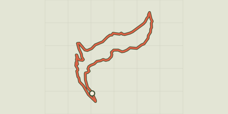 Plan IGN © IGN 2026Le vallon de MartignareÉcrins, La Grave (05) · Out and backOfficial rating by Parc national des Écrins
 Plan IGN © IGN 2026Le Vallon de MirabelAuvergne, Marsat (63) · Loop
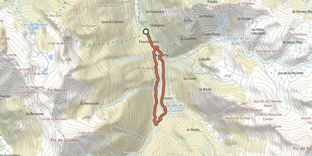 Plan IGN © IGN 2026Navette ValleyÉcrins, La Chapelle-en-Valgaudémar (05) · LoopOfficial rating by Parc national des Écrins
 Plan IGN © IGN 2026The Valsenestre valleyÉcrins, Valjouffrey (38) · Out and backOfficial rating by Parc national des Écrins
 Plan IGN © IGN 2026Le vallon des ÉtagesÉcrins, Saint-Christophe-en-Oisans (38) · LoopOfficial rating by Parc national des Écrins
 Plan IGN © IGN 2026The Bramont Valley (by mountain-bike)Cévennes, Ispagnac (48) · LoopOfficial rating by Parc national des Cévennes
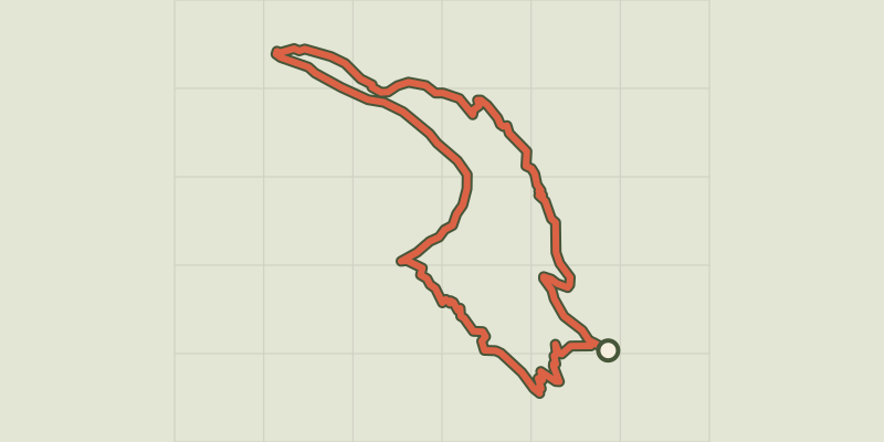 Plan IGN © IGN 2026The Couleau valleyÉcrins, Saint-Clément-sur-Durance (05) · LoopOfficial rating by Parc national des Écrins
 Plan IGN © IGN 2026Le VerboisBourgogne-Franche-Comté, Le Russey (25) · LoopOfficial rating by Département du Doubs
 Plan IGN © IGN 2026Le Verbois - n° 52ABourgogne-Franche-Comté, Le Russey (25) · LoopOfficial rating by Département du Doubs
 Plan IGN © IGN 2026Le Vernet-la-Varenne - SauxillangesAuvergne, Le Vernet-Chaméane (63) · Point to point
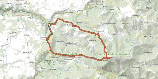 Plan IGN © IGN 2026From Meyrueis to the summit of Mont Aigoual.Cévennes, Meyrueis (48) · Point to pointOfficial rating by Parc national des Cévennes
 Plan IGN © IGN 2026 · track © OpenStreetMapLe Vert Buisson et BrodeHauts-de-France, Sains-du-Nord (59) · Loop