
GPX tracks in France (page 130)
7,023 GPX tracks in France, with distance, elevation gain and time for each track. Pick a region on the map, then filter by department, sport, distance, elevation gain and time.
All GPX tracks in France
Activity : All activities

 Plan IGN © IGN 2026 · track © OpenStreetMapDu Puits du Roi au Vivier CoraxHauts-de-France, Lacroix-Saint-Ouen (60) · Loop
 Plan IGN © IGN 2026Du refuge des Souffles au refuge de l'Olan (sans voiture)Écrins, Villar-Loubière (05) · Point to pointOfficial rating by Parc national des Écrins
 Plan IGN © IGN 2026Du Rosier à La Draye au fil de la ClaréeProvence-Alpes-Côte d'Azur, Val-des-Prés (05) · Out and backOfficial rating by Parc national des Écrins
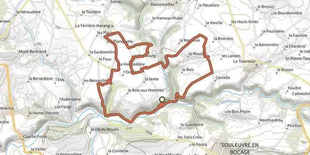 Plan IGN © IGN 2026Du Roucamps à la SouleuvreNormandy, Souleuvre en Bocage (14) · Loop
 Plan IGN © IGN 2026du sel aux vignesPays de la Loire, Le Croisic (44) · LoopOfficial rating by Département de Loire-Atlantique
 Plan IGN © IGN 2026Du sentier Merveilleux à l'oratoire de MietteProvence-Alpes-Côte d'Azur, Plan-d'Aups-Sainte-Baume (83) · LoopOfficial rating by Parcs naturels régionaux de Provence-Alpes-Côte d'Azur
 Plan IGN © IGN 2026From the Drouvet summit to PrapicÉcrins, Orcières (05) · Point to pointOfficial rating by Parc national des Écrins
 Plan IGN © IGN 2026Du train au glacier Blanc en 3 jours (sans voiture)Écrins, L'Argentière-la-Bessée (05) · Point to pointOfficial rating by Parc national des Écrins
 Plan IGN © IGN 2026Du Vauziron à la ChasserelleAuvergne, Châteldon (63) · Loop
 Plan IGN © IGN 2026From Le Vigan to Mont Aigoual, 5 daysCévennes, Le Vigan (30) · Point to pointOfficial rating by Parc national des Cévennes
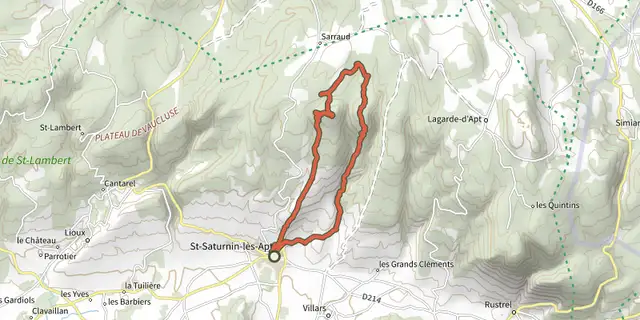 Plan IGN © IGN 2026Underground water tanks in TravignonLuberon, Saint-Saturnin-lès-Apt (84) · LoopOfficial rating by Parcs naturels régionaux de Provence-Alpes-Côte d'Azur
 Plan IGN © IGN 2026 · track © OpenStreetMapDu Witrepin à la DordonneHauts-de-France, Cormont (62) · Loop
 Plan IGN © IGN 2026 · track © OpenStreetMapDuhort-Bachen - Circuit des vallons du LourdenNouvelle-Aquitaine, Duhort-Bachen (40) · Loop
 Plan IGN © IGN 2026Eau et nature (variante)Brittany, Plancoët (22) · LoopOfficial rating by Département des Côtes d'Armor

 Plan IGN © IGN 2026Echappée sur le Plateau de MaicheBourgogne-Franche-Comté, Maîche (25) · LoopOfficial rating by Département du Doubs
 Plan IGN © IGN 2026Ecomusée - Combe des Cives - N°21Haut-Jura, Chapelle-des-Bois (25) · LoopOfficial rating by Département du Doubs
 Plan IGN © IGN 2026EgaulesAuvergne, Volvic (63) · Loop
 Plan IGN © IGN 2026Eglise de CompsAuvergne, Les Ancizes-Comps (63) · Loop
 Plan IGN © IGN 2026 · track © OpenStreetMapElorrietaPyrenees, Saint-Étienne-de-Baïgorry (64) · Loop
 Plan IGN © IGN 2026ElzeCévennes, Malons-et-Elze (30) · LoopOfficial rating by Parc national des Cévennes
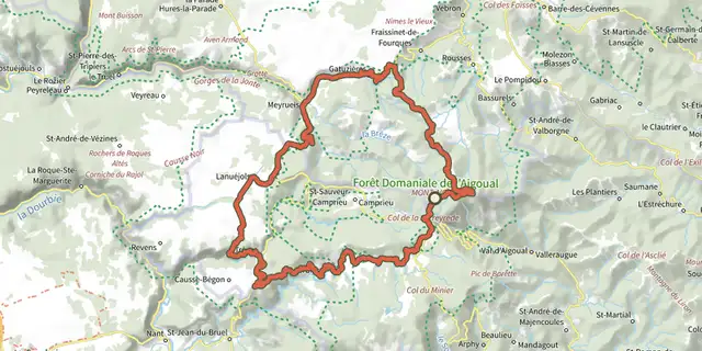 Plan IGN © IGN 2026Station Prat-Peyrot - Road bike circuit #10Cévennes, Meyrueis (48) · LoopOfficial rating by Parc national des Cévennes
 Plan IGN © IGN 2026 · track © OpenStreetMapEn forêt de Saint-GermainÎle-de-France, Saint-Germain-en-Laye (78) · Loop
 Plan IGN © IGN 2026En forêt sur la piste du CerfCentre-Val de Loire, Villeny (41) · Loop
 Plan IGN © IGN 2026En passant par Angles sur l'AnglinCentre-Val de Loire, Néons-sur-Creuse (36) · Loop