
GPX tracks in France (page 119)
7,023 GPX tracks in France, with distance, elevation gain and time for each track. Pick a region on the map, then filter by department, sport, distance, elevation gain and time.
All GPX tracks in France
Activity : All activities

 Plan IGN © IGN 2026Crête et Bois RapinBourgogne-Franche-Comté, Montferrand-le-Château (25) · LoopOfficial rating by Département du Doubs
 Plan IGN © IGN 2026CrêtesBourgogne-Franche-Comté, Pierrefontaine-les-Varans (25) · LoopOfficial rating by Département du Doubs

 Plan IGN © IGN 2026Crêtes du Goulet - VTT n°30Occitanie, Mont Lozère et Goulet (48) · LoopOfficial rating by Parc national des Cévennes

 Plan IGN © IGN 2026The ridges of Mont Lozère, Trail #18.Cévennes, Pont de Montvert - Sud Mont Lozère (48) · LoopOfficial rating by Parc national des Cévennes
 Plan IGN © IGN 2026 · track © OpenStreetMapCrêtes et Vignobles de MoneinNouvelle-Aquitaine, Monein (64) · Loop
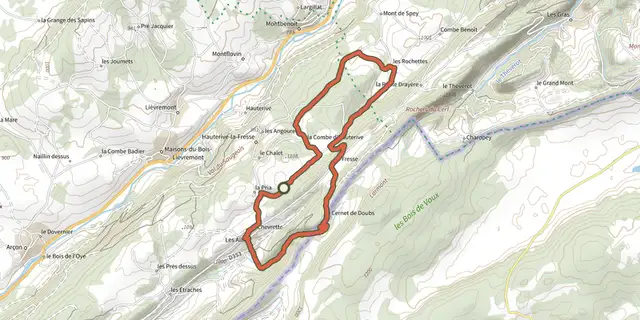 Plan IGN © IGN 2026Crêtes franco-suisses - n° 35Bourgogne-Franche-Comté, Pays-de-Montbenoît (25) · LoopOfficial rating by Département du Doubs
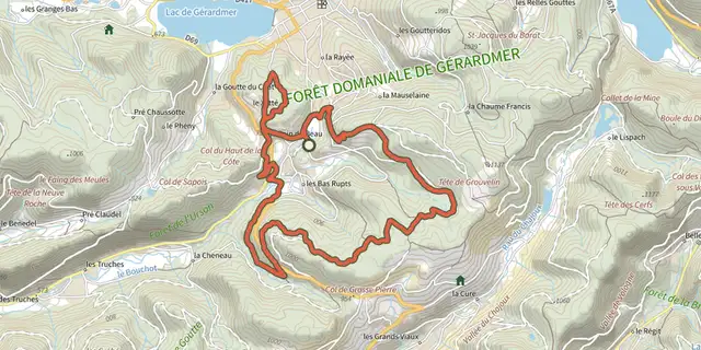 Plan IGN © IGN 2026 · track © OpenStreetMapCreusegoutte - Croix ClaudéVosges, Gérardmer (88) · Loop
 Plan IGN © IGN 2026Creux de Hauteroche - n° 46Bourgogne-Franche-Comté, Pierrefontaine-les-Varans (25) · LoopOfficial rating by Département du Doubs
 Plan IGN © IGN 2026Creux Maldru - N°19Haut-Jura, Chapelle-des-Bois (25) · LoopOfficial rating by Département du Doubs
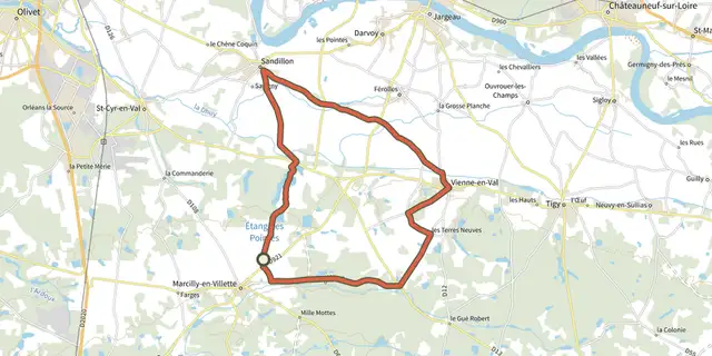
 Plan IGN © IGN 2026Crochet SolognotCentre-Val de Loire, Marcilly-en-Villette (45) · Loop
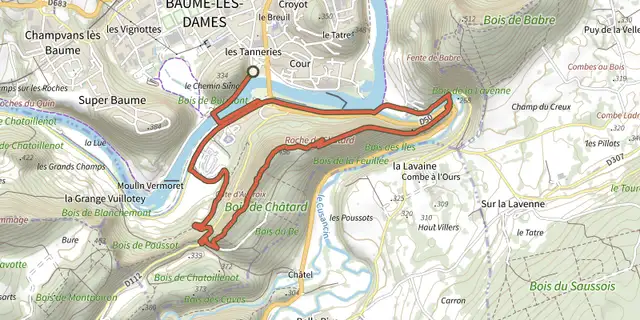 Plan IGN © IGN 2026Croix de ChâtardBourgogne-Franche-Comté, Baume-les-Dames (25) · LoopOfficial rating by Département du Doubs
 Plan IGN © IGN 2026Croix de GratassacCévennes, Villefort (48) · LoopOfficial rating by Parc national des Cévennes
 Plan IGN © IGN 2026Croix de MilanAuvergne, Villossanges (63) · Loop
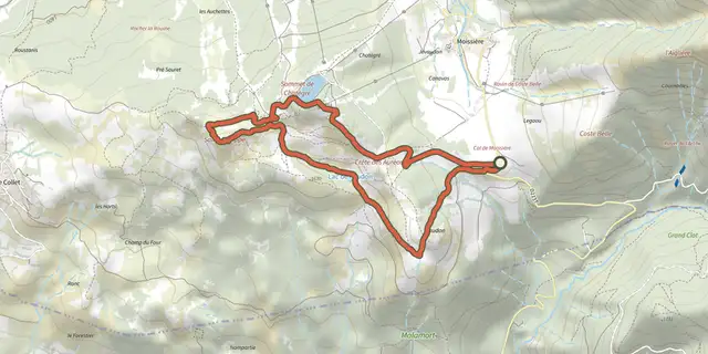 Plan IGN © IGN 2026Croix Saint-PhilippeÉcrins, Ancelle (05) · Out and backOfficial rating by Parc national des Écrins
 Plan IGN © IGN 2026Cros: the silk trailCévennes, Cros (30) · LoopOfficial rating by Parc national des Cévennes
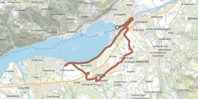 Plan IGN © IGN 2026Crots BeachÉcrins, Embrun (05) · LoopOfficial rating by Parc national des Écrins
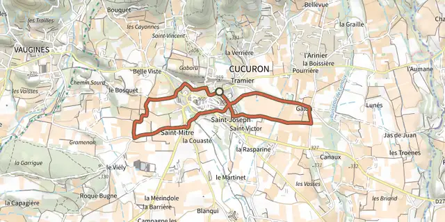 Plan IGN © IGN 2026Cucuron Wine TrailLuberon, Cucuron (84) · LoopOfficial rating by Parcs naturels régionaux de Provence-Alpes-Côte d'Azur
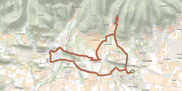 Plan IGN © IGN 2026Cucuron-Vaugines - Chemin de pelerinageLuberon, Cucuron (84) · LoopOfficial rating by Parcs naturels régionaux de Provence-Alpes-Côte d'Azur
 Plan IGN © IGN 2026Cuges-les-Pins - Crête de la Sainte-Baume et Grand VallonProvence-Alpes-Côte d'Azur, Cuges-les-Pins (13) · LoopOfficial rating by Parcs naturels régionaux de Provence-Alpes-Côte d'Azur
 Plan IGN © IGN 2026Cuges-les-Pins - Crête de la Sainte-Baume et Jas de FrédéricProvence-Alpes-Côte d'Azur, Cuges-les-Pins (13) · LoopOfficial rating by Parcs naturels régionaux de Provence-Alpes-Côte d'Azur
 Plan IGN © IGN 2026Cunlhat / Saint-Amant-Roche-SavineAuvergne, Cunlhat (63) · Point to point
 Plan IGN © IGN 2026D'Art et d'ArgileCentre-Val de Loire, Langeais (37) · Loop
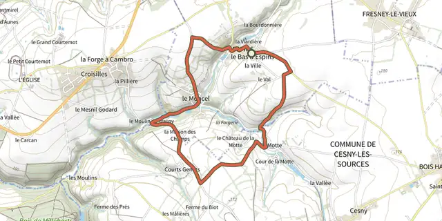 Plan IGN © IGN 2026D'Espins au Moulin du TraspyNormandy, Espins (14) · Loop
 Plan IGN © IGN 2026 · track © OpenStreetMapD'Orthez à Bonnut (VTT Nord)Nouvelle-Aquitaine, Bonnut (64) · Loop