
The Rochers des Mourres
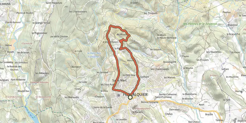
Key facts
- Distance
- 6.4 km
- Ascent
- +228 m
- Descent
- −202 m
- Estimated time
- 1 hr 50
- hiking
- Difficulty
- Easy
- official rating
- Route
- Loop
- back to the start
Profile and gradient
- under 10%
- 10 to 20%
- over 20%
Gradient along the route: 5.4 km under 10% and 1.0 km at 10 to 20%. Elevation from 543 m to 727 m over 6.4 km.
Surface and path types
- Surface
- Paved 30%
- Dirt & gravel 69%
- Unknown 1%
- Path types
- Trail 40%
- Track 30%
- Road 30%
Description
A trail that joins the protruding and strange rocks of Mourres since the joyfull city of Forcalquier. A must-see! « Heads, mushrooms, arches or bridges ... We do not know on who to rely on! As an artist, erosion has washed away the softer rocks and then patiently perfected the limestone which was less soft to generate strange forms. An arid area, Mourres is also an environmentally sensitive area (ESA), where the flora and fauna adapt to drought.. Stéphane Legal, geologist at the Luberon RNP. With your back turned to the tourist office, at the Bourget town square, go left on the Marcel-André avenue and go straight until the intersection of the Route de Fontienne (D12). Continue across on the Saint-Marc avenue (RP). At the end of the 1st curve, go slightly to the right into a narrow street. Exceed the water tower that points to the left and cross a narrow passage between two walls. Turn right before the Saint-Marc chapel. Remain to the right on the ascending path. Pass the last houses and 200m further, go left to follow the trail that goes below the aerials (antennas). Reach lower down the crossroads "La Parise". 1 - Continue straight. Quietly go up the trail, continue on a wider path and reach the crossroads "Le Grand Travers." Continue straight, pass the information panels and 70m further, reach the the crossroads of Mourres to the right. 2 - Turn right and follow carefully the markings of the path between the rocks. Go towards the left and then down to the car park at the roadside (D12). Cross the road and go across on the path descending downstream on the Mourres site. Further down, do not to miss the path on the right (signpost). Reach the bottom of the ravine and cross. On the other side, advance 50m left on a clear path, then turn immediately right to climb the stony steep path (marking barely noticeable). Go up the winding paths and come out on the road. Go across and reach the crossroads "Ravin de La Parise" just above. 3 - Take a sharp left, out on the D12, take a left turn on 250m in front of the farm. Lower down at the next intersection, continue down to the right along the olive groves and the cemetery to come out on Chemin des Moureisses. Go straight down, reach the Fontauris avenue. Turn right, go past a nursery school then turn left onto the L. Andrieux to return to the Bourget town square.
Difficulty
Official rating: easy, by Parcs naturels régionaux de Provence-Alpes-Côte d'Azur.
Before you go
- Caution with your ankles on the rocky areas. Make sure to stay on the track of the trail. ; The Mourres site is very sensitive to erosion. Refrain from any picking (flora, fossils).
Getting there
Start: Office de tourisme, Forcalquier, Forcalquier (04).
Sources
- Track: Parcs naturels régionaux de Provence-Alpes-Côte d'Azur (Chemins des Parcs), Licence Ouverte 2.0, Licence Ouverte 2.0 (Etalab) (www.cheminsdesparcs.fr/trek/36644-FORCALQUIER---Rochers-des-Mourres). Time estimated by GPX Path with the Mac app rule, breaks not included.
- Surface and path types: © OpenStreetMap contributors, ODbL, extract of 28 October 2026, matched to the track every 10 m (openstreetmap.org/copyright)
- Official elevation gain: 228 m, Parcs naturels régionaux de Provence-Alpes-Côte d'Azur
Nearby tracks
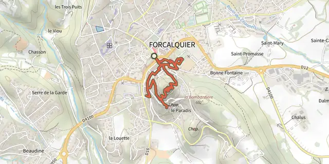
 Plan IGN © IGN 2026Forcalquier and its fortressLuberon, Forcalquier (04) · LoopOfficial rating by Parcs naturels régionaux de Provence-Alpes-Côte d'Azur
 Plan IGN © IGN 2026Limans - Tour du PâtyLuberon, Limans (04) · LoopOfficial rating by Parcs naturels régionaux de Provence-Alpes-Côte d'Azur
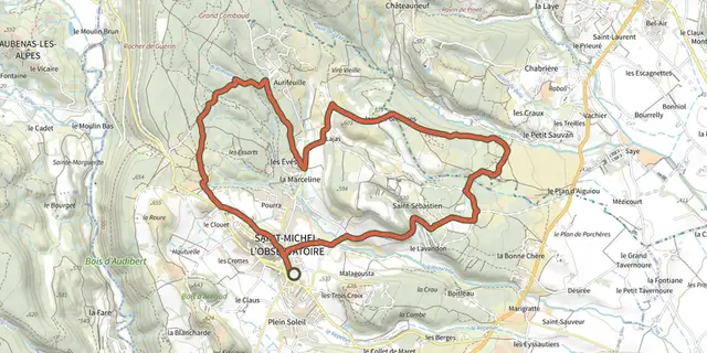 Plan IGN © IGN 2026A stroll around the ObservatoryLuberon, Saint-Michel-l'Observatoire (04) · LoopOfficial rating by Parcs naturels régionaux de Provence-Alpes-Côte d'Azur
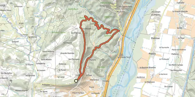 Plan IGN © IGN 2026Lurs - Chemin du pont RomainLuberon, Lurs (04) · LoopOfficial rating by Parcs naturels régionaux de Provence-Alpes-Côte d'Azur
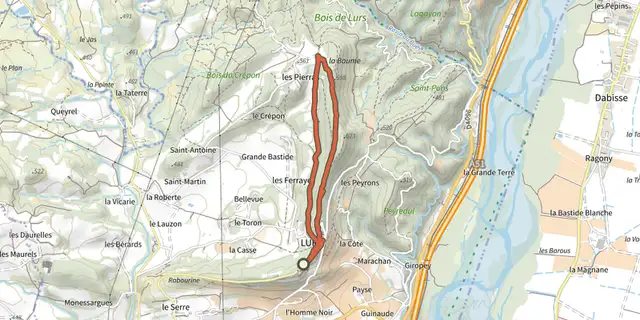 Plan IGN © IGN 2026Lurs - Promenade des EvêquesLuberon, Lurs (04) · LoopOfficial rating by Parcs naturels régionaux de Provence-Alpes-Côte d'Azur
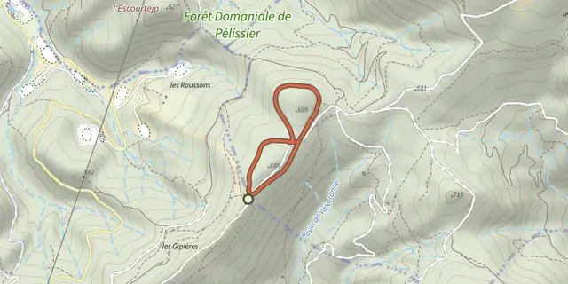 Plan IGN © IGN 2026Manosque - Chemins de BellevueLuberon, Manosque (04) · LoopOfficial rating by Parcs naturels régionaux de Provence-Alpes-Côte d'Azur