
Saint-Saturnin-lès-Apt - RUSTREL - Immersion ocreuse
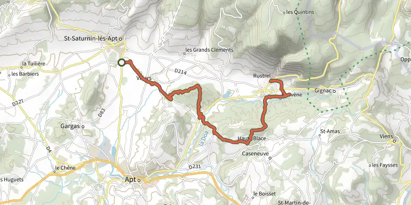
Key facts
- Distance
- 18.1 km
- Ascent
- +601 m
- Descent
- −433 m
- Estimated time
- 5 hr 05
- hiking
- Difficulty
- Difficult
- official rating
- Route
- Point to point
- ends elsewhere
Profile and gradient
- under 10%
- 10 to 20%
- over 20%
Gradient along the route: 15.0 km under 10% and 3.2 km at 10 to 20%. Elevation from 271 m to 518 m over 18.1 km.
Description
Difficulty
Official rating: difficult, by Parcs naturels régionaux de Provence-Alpes-Côte d'Azur.
Getting there
Start: Parking arrêt de bus "Moulin à huile" (entrée sud du village), Saint-Saturnin-lès-Apt, Saint-Saturnin-lès-Apt (84).
Sources
- Track: Parcs naturels régionaux de Provence-Alpes-Côte d'Azur (Chemins des Parcs), Licence Ouverte 2.0, Licence Ouverte 2.0 (Etalab) (www.cheminsdesparcs.fr/trek/135469-SAINT-SATURNIN-LES-APT---RUSTREL---Immersion-ocreuse). Time estimated by GPX Path with the Mac app rule, breaks not included.
- Official elevation gain: 601 m, Parcs naturels régionaux de Provence-Alpes-Côte d'Azur
Nearby tracks
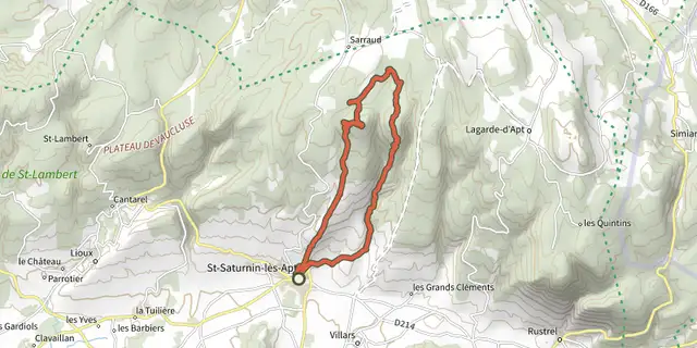
 Plan IGN © IGN 2026Underground water tanks in TravignonLuberon, Saint-Saturnin-lès-Apt (84) · LoopOfficial rating by Parcs naturels régionaux de Provence-Alpes-Côte d'Azur
 Plan IGN © IGN 2026Saint-Saturnin-lès-Apt - Du moulin au châteauLuberon, Saint-Saturnin-lès-Apt (84) · LoopOfficial rating by Parcs naturels régionaux de Provence-Alpes-Côte d'Azur
 Plan IGN © IGN 2026The Villars secretsLuberon, Villars (84) · LoopOfficial rating by Parcs naturels régionaux de Provence-Alpes-Côte d'Azur
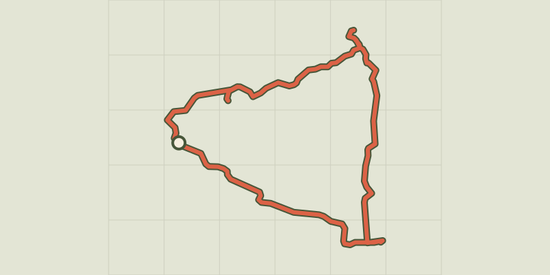 Plan IGN © IGN 2026Villars - Le massif de La BruyèreLuberon, Villars (84) · LoopOfficial rating by Parcs naturels régionaux de Provence-Alpes-Côte d'Azur
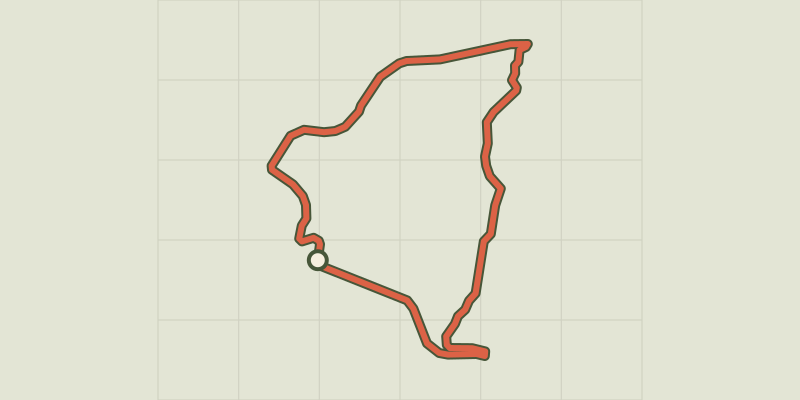 Plan IGN © IGN 2026La Bruyère, the sensitive area!Luberon, Villars (84) · LoopOfficial rating by Parcs naturels régionaux de Provence-Alpes-Côte d'Azur
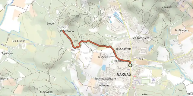 Plan IGN © IGN 2026Gargas - Les Mines de BruouxLuberon, Gargas (84) · Out and backOfficial rating by Parcs naturels régionaux de Provence-Alpes-Côte d'Azur