
Hiking GPX tracks in the Haut-Jura (page 2)
32 GPX tracks in the Haut-Jura, with distance, elevation gain and time for each track. Filter by sport, distance, elevation gain and time.
All GPX tracks in the Haut-Jura


 Plan IGN © IGN 2026Prés-bois des Bâties VTT n° 103Haut-Jura, Mouthe (25) · LoopOfficial rating by Département du Doubs
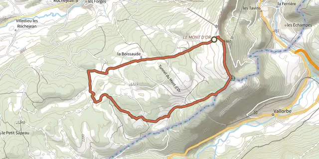 Plan IGN © IGN 2026Randonnée des ChaletsHaut-Jura, Longevilles-Mont-d'Or (25) · LoopOfficial rating by Département du Doubs
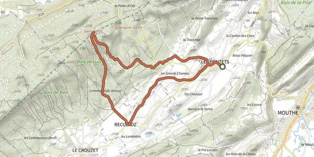 Plan IGN © IGN 2026Saint-SorlinHaut-Jura, Les Pontets (25) · LoopOfficial rating by Département du Doubs
 Plan IGN © IGN 2026Sentier des viesHaut-Jura, Le Crouzet (25) · LoopOfficial rating by Département du Doubs
 Plan IGN © IGN 2026Sentier du Lac aux Crêtes du Mont d'OrHaut-Jura, Longevilles-Mont-d'Or (25) · LoopOfficial rating by Département du Doubs
 Plan IGN © IGN 2026Sous les falaises du Mont d'OrHaut-Jura, Jougne (25) · LoopOfficial rating by Département du Doubs
 Plan IGN © IGN 2026SuchetHaut-Jura, Jougne (25) · LoopOfficial rating by Département du Doubs
 Plan IGN © IGN 2026Tour de la RocheHaut-Jura, Châtelblanc (25) · LoopOfficial rating by Département du Doubs