
Hiking GPX tracks in Grand Est (page 19)
537 GPX tracks in Grand Est, with distance, elevation gain and time for each track. Filter by department, sport, distance, elevation gain and time.
All GPX tracks in Grand Est

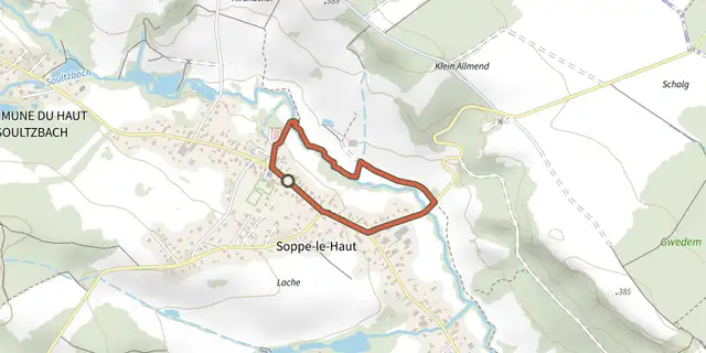
 Plan IGN © IGN 2026 · track © OpenStreetMapPromenade FamilialeGrand Est, Le Haut Soultzbach (68) · Loop
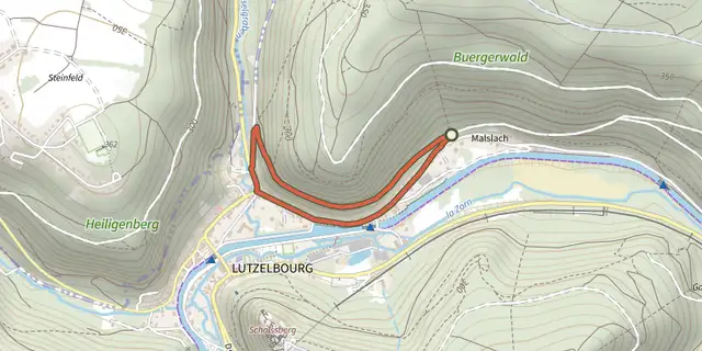 Plan IGN © IGN 2026 · track © OpenStreetMapPromenade FlorentineVosges, Lutzelbourg (57) · Loop
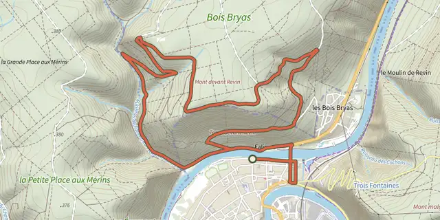 Plan IGN © IGN 2026 · track © OpenStreetMapPromenade George SandGrand Est, Revin (08) · Loop
 Plan IGN © IGN 2026 · track © OpenStreetMapRaon-aux-Bois - Circuit 1Vosges, Raon-aux-Bois (88) · Loop
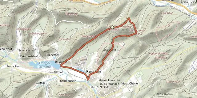 Plan IGN © IGN 2026 · track © OpenStreetMapRed ringVosges, Baerenthal (57) · Loop
 Plan IGN © IGN 2026 · track © OpenStreetMapRed ringVosges, Soucht (57) · Loop
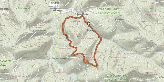 Plan IGN © IGN 2026 · track © OpenStreetMapRocher du CaliceVosges, Abreschviller (57) · Loop
 Plan IGN © IGN 2026 · track © OpenStreetMapRond jauneVosges, Rothbach (67) · Loop
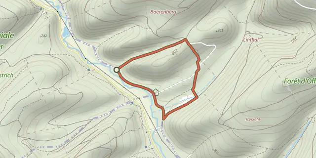 Plan IGN © IGN 2026 · track © OpenStreetMapRond rougeVosges, Lichtenberg (67) · Loop
 Plan IGN © IGN 2026 · track © OpenStreetMapRond rougeVosges, Offwiller (67) · Loop
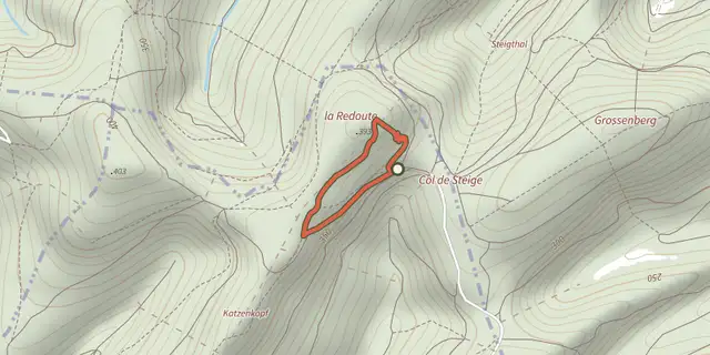 Plan IGN © IGN 2026 · track © OpenStreetMapRond rougeVosges, Offwiller (67) · Loop
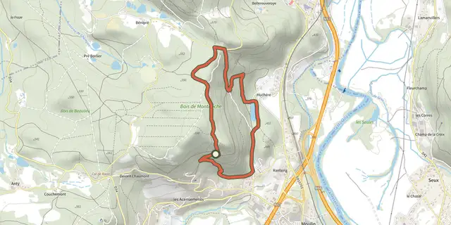 Plan IGN © IGN 2026 · track © OpenStreetMapSentier "Montiroche"Vosges, Saint-Nabord (88) · Loop
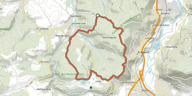 Plan IGN © IGN 2026 · track © OpenStreetMapSentier "Raon-Aux-Bois"Vosges, Raon-aux-Bois (88) · Loop
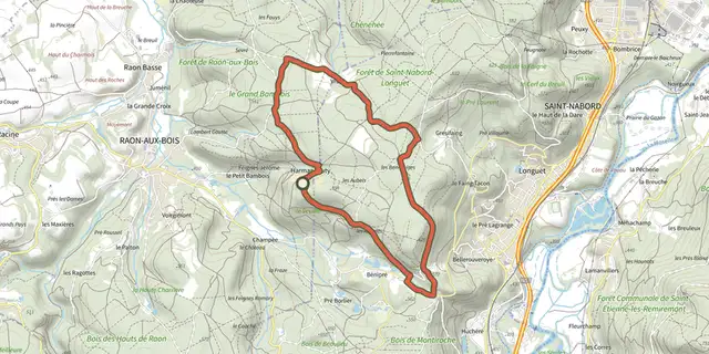 Plan IGN © IGN 2026 · track © OpenStreetMapSentier "Vrupt"Vosges, Raon-aux-Bois (88) · Loop
 Plan IGN © IGN 2026 · track © OpenStreetMapSentier André WeckmannGrand Est, Steinbourg (67) · Loop
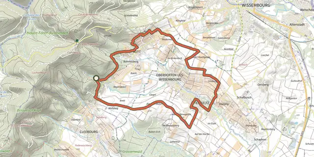 Plan IGN © IGN 2026 · track © OpenStreetMapSentier arboricoleVosges, Wissembourg (67) · Loop
 Plan IGN © IGN 2026 · track © OpenStreetMapSentier de découverteVosges, Fouchy (67) · Loop
 Plan IGN © IGN 2026 · track © OpenStreetMapSentier de découverteVosges, Le Syndicat (88) · Loop
 Plan IGN © IGN 2026 · track © OpenStreetMapSentier de découverte du Bruckenbach et du TunnelVosges, Urbès (68) · Loop
 Plan IGN © IGN 2026 · track © OpenStreetMapSentier de découverte du Gazon vertVosges, Storckensohn (68) · Loop
 Plan IGN © IGN 2026 · track © OpenStreetMapSentier de découverte du GraberVosges, Dolleren (68) · Loop
 Plan IGN © IGN 2026 · track © OpenStreetMapSentier de découverte du See d'UrbèsVosges, Husseren-Wesserling (68) · Loop
 Plan IGN © IGN 2026 · track © OpenStreetMapSentier de découverte du Tunnel d'UrbèsVosges, Urbès (68) · Loop
 Plan IGN © IGN 2026 · track © OpenStreetMapSentier de découverte et d'interprétation - CompletVosges, Sainte-Marie-aux-Mines (68) · Loop