
The Sentier des Mineurs

Key facts
- Distance
- 8.4 km
- Ascent
- +380 m
- Descent
- −348 m
- Estimated time
- 2 hr 35
- hiking
- Difficulty
- Moderate
- official rating
- Route
- Loop
- back to the start
Profile and gradient
- under 10%
- 10 to 20%
- over 20%
Gradient along the route: 5.5 km under 10%, 2.3 km at 10 to 20% and 0.6 km over 20%. Elevation from 967 m to 1,295 m over 8.4 km.
Description
A pleasant walk rising up through the Fournel valley through old hamlets and cool forest Very often, we only think of the newest part of the town of L'Argentière-La Bessée. But roaming the old hamlets of L'Argentière makes for a fascinating exploration, as does the silver mining museum ("Musée des Mines d'Argent"). Dropping back down through a cool, refreshing forest is a pleasant complement to this outing. From the train station in L'Argentière-les Écrins, head towards the silver mining museum ("Musée des Mines d'Argent") - Just after the tunnel under the railway line, take the narrow road on the right, and then left onto a track which comes to the bottom of a narrow lane, which you climb up via some steps to an intersection. Carry on uphill until you come to the church. Cross the Fournel road when you come to the school. - Just to the right of the school, take a narrow road.. After 50 metres, carry straight on along a paved lane which turns into a grassy track running along a canal side. - Take the narrow road on the right, going uphill, and go left just after the bend. Further on, continue right towards the Fournel mines ("Mines du Fournel"). Shortly after this, head right again to reach the access road leading to the Fournel. Follow this road left for a short stretch, and then take a path on the left, on a hairpin. Then follow signs for « Les mines ». - Cross the Fournel road again to take the path opposite which passes in front of a house, then right. - Continue uphill between the houses in the hamlet of La Blachière and, in a farmyard, go left in front of the farm sheds. Carry on towards an oratory and continue along the hillside until you come back to the Fournel road. Follow this upstream to cross the bridge. Immediately after this, take a track on the left which runs back down to L'Argentière along the right-hand bank. - At the bottom of the path, cross the bridge on the left and follow the main road down towards the Musée des Mines, which brings you back to the train station.
Difficulty
Official rating: moderate, by Parc national des Écrins.
Before you go
- Take care in the hamlet of La Blachière, when going through a farmyard where dogs are often tied up (be vigilant if you have a dog).
- Check weather conditions before setting off.
- Rescue services contact details: Secours Montagne (Mountain Rescue): +33 (0)4 92 22 22 22 or 112
- Show consideration for the work of farmers, livestock keepers and owners
- Close all gates behind you
- Take your litter home
- Do not take shortcuts across pastureland
Getting there
Start: Gare SNCF, L’Argentière-La Bessée, L'Argentière-la-Bessée (05).
Sources
- Track: Parc national des Écrins, Licence Ouverte 2.0, Licence Ouverte 2.0 (Etalab) (destination.ecrins-parcnational.fr/trek/962648-Le-Sentier-des-mineurs). Time estimated by GPX Path with the Mac app rule, breaks not included.
- Official elevation gain: 380 m, Parc national des Écrins
Nearby tracks

 Plan IGN © IGN 2026Du train au glacier Blanc en 3 jours (sans voiture)Écrins, L'Argentière-la-Bessée (05) · Point to pointOfficial rating by Parc national des Écrins
 Plan IGN © IGN 2026Tour of the Pays des Ecrins in 6 daysÉcrins, L'Argentière-la-Bessée (05) · Point to pointOfficial rating by Parc national des Écrins
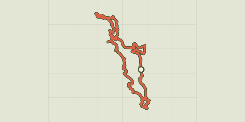 Plan IGN © IGN 2026Tour du Pays des Ecrins en 7 joursÉcrins, L'Argentière-la-Bessée (05) · Point to pointOfficial rating by Parc national des Écrins
 Plan IGN © IGN 2026Tour of the Pays des Ecrins in 3 daysÉcrins, L'Argentière-la-Bessée (05) · Point to pointOfficial rating by Parc national des Écrins
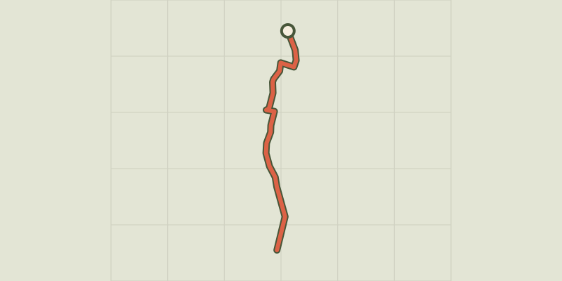 Plan IGN © IGN 2026The L’Argentière-la-Bessée green route ("Voie Verte")Écrins, L'Argentière-la-Bessée (05) · Out and backOfficial rating by Parc national des Écrins
 Plan IGN © IGN 2026THEMED PATH: Industrial circuit walkÉcrins, L'Argentière-la-Bessée (05) · LoopOfficial rating by Parc national des Écrins