
Petite boucle de Clos Raffin

Key facts
- Distance
- 3.6 km
- Ascent
- +138 m
- Descent
- −130 m
- Estimated time
- 1 hr 05
- hiking
- Difficulty
- Easy
- official rating
- Route
- Loop
- back to the start
Profile and gradient
- under 10%
- 10 to 20%
- over 20%
Gradient along the route: 2.7 km under 10%, 0.8 km at 10 to 20% and 0.1 km over 20%. Elevation from 1,747 m to 1,853 m over 3.6 km.
Description
Difficulty
Official rating: easy, by Parc national des Écrins.
Getting there
Start: Parking du Chazelet, La Grave (05).
Sources
- Track: Parc national des Écrins, Licence Ouverte 2.0, Licence Ouverte 2.0 (Etalab) (destination.ecrins-parcnational.fr/trek/996753-Petite-boucle-de-Clos-Raffin). Time estimated by GPX Path with the Mac app rule, breaks not included.
- Official elevation gain: 138 m, Parc national des Écrins
Nearby tracks
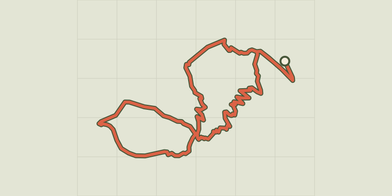
 Plan IGN © IGN 2026The mule pathÉcrins, La Grave (05) · LoopOfficial rating by Parc national des Écrins
 Plan IGN © IGN 2026Boucle du gros Têt depuis le ChazeletÉcrins, La Grave (05) · LoopOfficial rating by Parc national des Écrins
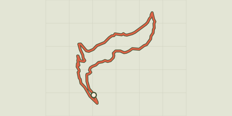 Plan IGN © IGN 2026Le vallon de MartignareÉcrins, La Grave (05) · Out and backOfficial rating by Parc national des Écrins
 Plan IGN © IGN 2026Serre Bernard par la BercheÉcrins, La Grave (05) · LoopOfficial rating by Parc national des Écrins
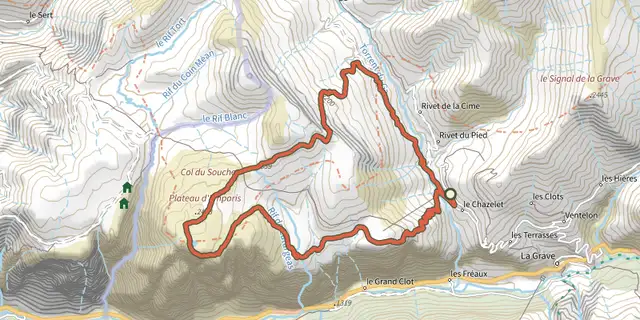 Plan IGN © IGN 2026Le plateau d'Emparis et ses lacs - lac noir et lac lériéÉcrins, La Grave (05) · LoopOfficial rating by Parc national des Écrins
 Plan IGN © IGN 2026Lac Noir et lac Lérié depuis le ChazeletÉcrins, La Grave (05) · LoopOfficial rating by Parc national des Écrins