
Mountain pass by Côte Belle by the Desert

Key facts
- Distance
- 10.9 km
- Ascent
- +1,035 m
- Descent
- −1,032 m
- Estimated time
- 5 hr 40
- hiking
- Difficulty
- Moderate
- official rating
- Route
- Out and back
- same way back
Profile and gradient
- under 10%
- 10 to 20%
- over 20%
Gradient along the route: 1.1 km under 10%, 4.9 km at 10 to 20% and 4.9 km over 20%. Elevation from 1,249 m to 2,282 m over 10.9 km.
Surface and path types
- Surface
- Paved 10%
- Dirt & gravel 90%
- Path types
- Trail 81%
- Track 9%
- Road 10%
Description
Crossing the flowery pasture of Côte-Belle results in a view across the western buttresses of Ecrins massif. «For decades we have taken up the challenge of consolidating the last stretch under the Côte Belle mountain pass on an unstable terrain. Very onerous for the park, we have undertaken the responsibility of recreating it. From 2013, the path heads in the direction of the Marmes mountain pass, it seems more agreeable with more stability and safety of the walkers». Bernard Nicollet, Park ranger in Valbonnais Park your car at the entrance to the Desert. Cross the village up until the torrent de la Laisse without passing it and continue North in the direction of the Côte Belle mountain pass. The path follows the carved out channel of the torrent and passes close to the paravalanche. . The itinerary runs through the heart of the Ecrins National Park. It goes down next into à quite narrow gorge. The track continues its accent with large bends through ancient hay fields and comes out in the Côte Belle mountain pass. The view is of the Arcanier massif, the pic du Clapier du Peyron, la Roche de la Muzelle and the other summits and glaciers of the cirque de Valsenestre. The descente follows the same path.
Difficulty
Official rating: moderate, by Parc national des Écrins.
Before you go
- Take water with you to the Désert since there are no sources of drinking water along this itinerary. Protect yourself from the sun because the valley is exposed to the South...
Getting there
Start: Le-Désert-en-Valjouffrey, Valjouffrey (38).
Sources
- Track: Parc national des Écrins, Licence Ouverte 2.0, Licence Ouverte 2.0 (Etalab) (destination.ecrins-parcnational.fr/trek/903957-Col-de-Cote-Belle-par-le-Desert). Time estimated by GPX Path with the Mac app rule, breaks not included.
- Surface and path types: © OpenStreetMap contributors, ODbL, extract of 28 October 2026, matched to the track every 10 m (openstreetmap.org/copyright)
- Official elevation gain: 1,035 m, Parc national des Écrins
Nearby tracks
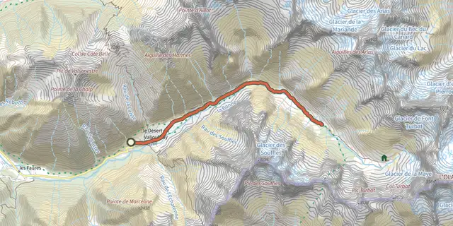
 Plan IGN © IGN 2026Châtellerat CabinÉcrins, Valjouffrey (38) · Out and backOfficial rating by Parc national des Écrins
 Plan IGN © IGN 2026The Pisse CabinsÉcrins, Valjouffrey (38) · Out and backOfficial rating by Parc national des Écrins
 Plan IGN © IGN 2026Ascent to the Font Turbat refuge via the Petit VallonÉcrins, Valjouffrey (38) · LoopOfficial rating by Parc national des Écrins
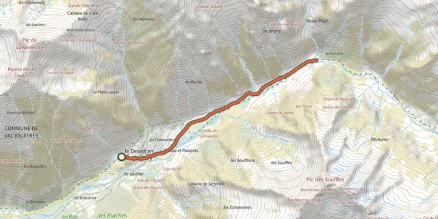 Plan IGN © IGN 2026The Pisse waterfallÉcrins, Valjouffrey (38) · Out and backOfficial rating by Parc national des Écrins
 Plan IGN © IGN 2026The Font Turbat refugeÉcrins, Valjouffrey (38) · Out and backOfficial rating by Parc national des Écrins
 Plan IGN © IGN 2026La Chalp valleyÉcrins, Valjouffrey (38) · Out and backOfficial rating by Parc national des Écrins