
Loop 50 - Les Puy
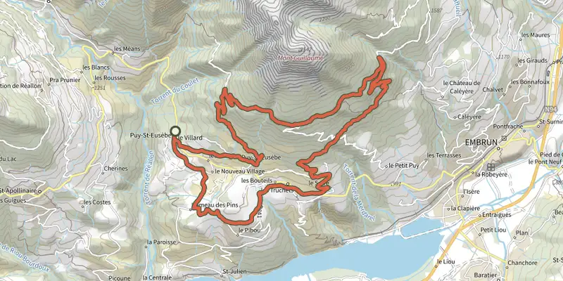
Key facts
- Distance
- 24.0 km
- Ascent
- +931 m
- Descent
- −838 m
- Estimated time
- 2 hr 30
- gravel
- Difficulty
- Moderate
- official rating
- Route
- Loop
- back to the start
Profile and gradient
- under 10%
- 10 to 20%
- over 20%
Gradient along the route: 21.5 km under 10% and 2.5 km at 10 to 20%. Elevation from 1,050 m to 1,690 m over 24.0 km.
Description
Looking for something longer? The Puy loop can be combined with the Pins and Fontainiers loops. Amateurs beware! This pretty Gravel loop on the southern flank of Mont Guillaume passes through a string of hamlets that make up the villages of Puy-St-Eusèbe and Puy-Sanières. The second part of the route climbs into the forest. The picnic stop at Belvédère de la Para is ideal. - - At the hamlet of Les Pins, ascend the Courtez path to the left. Choose the uphill options on the left to reach the route de Loupas. - At the route de Loupas, descend to the right and /!\ slow down before the entrance to Pibou Bas to ascend to the left. At the road, turn left to reach 'Les Bouteils'. After the entrance sign to the village, take the second turning on the right (Chemin du Mounet). Stay on this road until you reach the fountain. - At the fountain, turn right (D9) and climb left towards Serre (D309). At Serre (fountain), continue up the winding road to the left - At the 2nd bend to the right, take the DFCI G2 track (viewpoint) and climb to the right up the Pinee forest road (DFCI G2). Stay on DFCI G2: at the cistern, continue to the right on the Bois Vezin forest road and join DFCI G1. - At the cistern, turn left towards the Para lookout and Puy Sanières. (DFCI G1) Leave the Pinée forest track. Ascend the track to the right (DFCI G1). Stay on the main track until you reach the G5 underground cistern. - At the G5 underground cistern, descend n to the left and stay on the main track. - In the bend, ascend the road to the right. At the church of Puy Ste Eusèbe, turn left twice, and after 300m join a stony track /!\ At the road (D9), turn right twice to reach Le Villard.
Difficulty
Official rating: moderate, by Parc national des Écrins.
Getting there
Start: Le Villard, Puy St Eusèbe, Puy-Saint-Eusèbe (05).
Sources
- Track: Parc national des Écrins, Licence Ouverte 2.0, Licence Ouverte 2.0 (Etalab) (destination.ecrins-parcnational.fr/trek/996150-Boucle-50---Les-Puy). Time estimated by GPX Path with the Mac app rule, breaks not included.
- Official elevation gain: 931 m, Parc national des Écrins
Nearby tracks
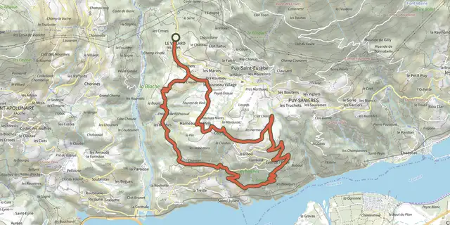
 Plan IGN © IGN 2026Les PinsÉcrins, Puy-Saint-Eusèbe (05) · LoopOfficial rating by Parc national des Écrins
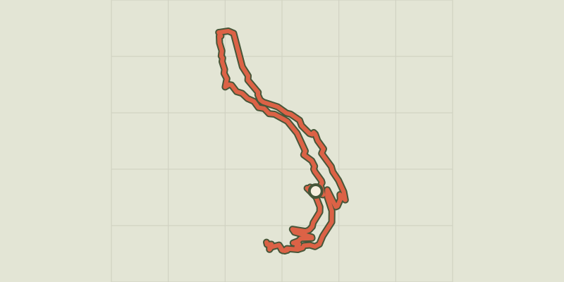 Plan IGN © IGN 2026Loop 49 - Clos Besson and Lake St ApollinaireÉcrins, Réallon (05) · LoopOfficial rating by Parc national des Écrins
 Plan IGN © IGN 2026Loop 62 - Pierre ArnouxÉcrins, Savines-le-Lac (05) · LoopOfficial rating by Parc national des Écrins
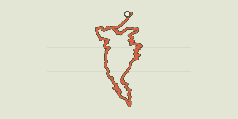 Plan IGN © IGN 2026Loop 61 - Le BoscodonÉcrins, Embrun (05) · LoopOfficial rating by Parc national des Écrins
 Plan IGN © IGN 2026The banks of Serre-PonçonÉcrins, Embrun (05) · LoopOfficial rating by Parc national des Écrins
 Plan IGN © IGN 2026Loop 52 - The Balconies of Mont GuillaumeÉcrins, Embrun (05) · LoopOfficial rating by Parc national des Écrins