
Sauveterre

Key facts
- Distance
- 3.9 km
- Ascent
- +274 m
- Descent
- −222 m
- Estimated time
- 1 hr 20
- hiking
- Difficulty
- Easy
- official rating
- Route
- Loop
- back to the start
Profile and gradient
- under 10%
- 10 to 20%
- over 20%
Gradient along the route: 3.6 km under 10%, 0.1 km at 10 to 20% and 0.2 km over 20%. Elevation from 830 m to 1,040 m over 3.9 km.
Description
Here, humans have made tracks for millennia. Enjoy the tranquillity of the Causse de Sauveterre on this short walk between the low walls bordering the paths and the treeless expanses. Starting on the village’s main square (bread oven), pass to the left of the bread oven and take the road that runs in front of the cross and below the farm buildings. - Leave the road and take the path on your left for 1.2 km. - Turn left onto the path that goes downhill and around the depression (sinkhole). - As you arrive at the tarred surface, take the road on your left that goes up into the village and back to your starting-point.
Difficulty
Official rating: easy, by Parc national des Cévennes.
Before you go
- There is no shade on this walk. Make sure your equipment is appropriate for the day’s weather conditions. Remember that the weather changes quickly in the mountains. Take enough water, wear sturdy shoes and put on a hat. Please close all gates and barriers behind you.
Getting there
Start: Village de Sauveterre, Gorges du Tarn Causses (48).
Sources
- Track: Parc national des Cévennes, Licence Ouverte 1.0, Licence Ouverte 1.0 (Etalab) (destination.cevennes-parcnational.fr/trek/73293-Sauveterre). Time estimated by GPX Path with the Mac app rule, breaks not included.
- Official elevation gain: 274 m, Parc national des Cévennes
Nearby tracks
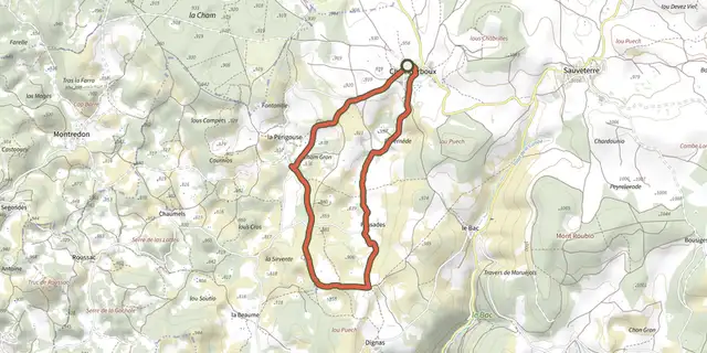
 Plan IGN © IGN 2026Pessades farmCévennes, Gorges du Tarn Causses (48) · LoopOfficial rating by Parc national des Cévennes
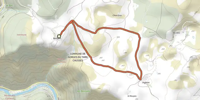 Plan IGN © IGN 2026Patrimoine naturel et culturel de BoissetsCévennes, Gorges du Tarn Causses (48) · LoopOfficial rating by Parc national des Cévennes
 Plan IGN © IGN 2026Domaine des BoissetsCévennes, Gorges du Tarn Causses (48) · LoopOfficial rating by Parc national des Cévennes
 Plan IGN © IGN 2026The riverbanksCévennes, Gorges du Tarn Causses (48) · LoopOfficial rating by Parc national des Cévennes
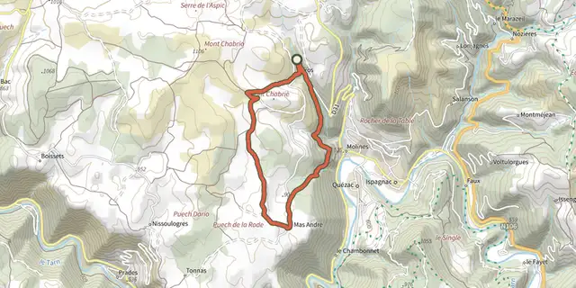 Plan IGN © IGN 2026ParosCévennes, Ispagnac (48) · LoopOfficial rating by Parc national des Cévennes
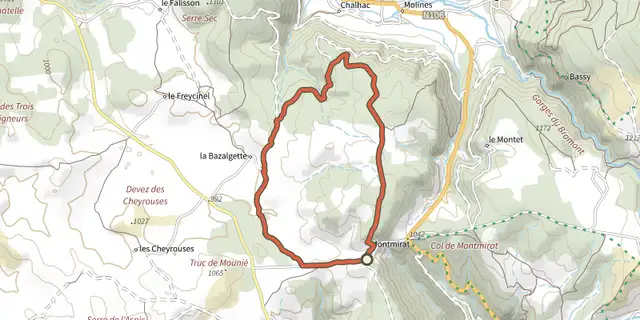 Plan IGN © IGN 2026Causse de SauveterreCévennes, Saint-Étienne-du-Valdonnez (48) · LoopOfficial rating by Parc national des Cévennes