
Rocher du Trenze and Bayardet, Trail #20

Key facts
- Distance
- 17.8 km
- Ascent
- +862 m
- Descent
- −772 m
- Estimated time
- 2 hr 35
- trail running
- Difficulty
- Moderate
- official rating
- Route
- Loop
- back to the start
Profile and gradient
- under 10%
- 10 to 20%
- over 20%
Gradient along the route: 12.0 km under 10%, 4.5 km at 10 to 20% and 1.3 km over 20%. Elevation from 855 m to 1,425 m over 17.8 km.
Surface and path types
- Surface
- Dirt & gravel 100%
- Path types
- Trail 75%
- Track 25%
Description
A rather athletic trail that won’t disappoint. Steep paths, the Rocher de Trenze, the Jasse d'Olibou and more: a summary of marvels ! You start with a downhill section of about 4km on narrow and sometimes rocky paths, some peatbogs too, but nothing too technical. You will go through several cattle barriers, remember to close them properly. A short but steep section leads you to splendid panoramic views over the Cévennes and announces a grand descent along Le Trenze cliffs. At the Rocher du Trenze, the descent becomes steeper and more technical, until you reach the Col de Montclar pass. Then a short portion on a track before you take a cheerful singletrack that is rather steep. At Les Bouzèdes, the hardest part of the ascent is over. Just one more uphill kilometre on a path before reaching the track. The circuit ends with 2 km of level ground on a pretty forest track. A short version, waymarked 20v, lets you shorten the circuit to 10 km. Follow the waymarks for trail #20. Signposts will guide you all along this route, as well as yellow painted waymarks. In the description below, the signposted place names and/or directions are given in bold italics between quotation marks: Starting at "Mas de La Barque", head for "Col de Montclar" via "Les écuries de Mas de La Barque", "Rochers de la barque" (2x), "Les faux des Armes", "La Chassalde", "La jasse d'Olibou", "Sous le Col de Montclars". At "Col de Montclars", go to "Soubre Montclars". Then return to "Mas de La Barque" via "Soubre Redounde", "Les Bouzèdes", "Bouos d'homme", "La roche fendue", "Sous la roche fendue", "Gadione" (2x), "Rochers de la Barque " (2x) and "Les écuries du Mas de La Barque". This trail is taken from the guidebook Mont Lozère - Pays des sources, published by the Pôle de pleine nature du mont Lozère.
Difficulty
Official rating: moderate, by Parc national des Cévennes.
Before you go
- Before committing yourself to a circuit, ensure that it is suitable for your activity level and ability. Remember that the weather changes quickly in the mountains. Please close all gates and barriers behind you. Stay on the marked path.
Getting there
Start: Mas de la Barque, Pont de Montvert - Sud Mont Lozère (48).
Sources
- Track: Parc national des Cévennes, Licence Ouverte 1.0, Licence Ouverte 1.0 (Etalab) (destination.cevennes-parcnational.fr/trek/74850-Rocher-du-Trenze-et-Bayardet---Trail-n20). Time estimated by GPX Path with the Mac app rule, breaks not included.
- Surface and path types: © OpenStreetMap contributors, ODbL, extract of 28 October 2026, matched to the track every 10 m (openstreetmap.org/copyright)
- Official elevation gain: 862 m, Parc national des Cévennes
Nearby tracks
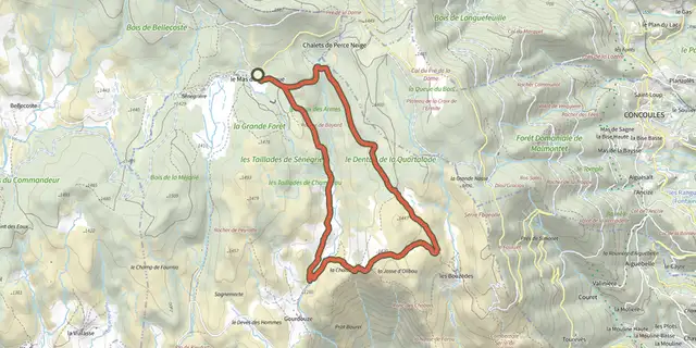
 Plan IGN © IGN 2026BayardetCévennes, Pont de Montvert - Sud Mont Lozère (48) · LoopOfficial rating by Parc national des Cévennes
 Plan IGN © IGN 2026Gourdouze valley, Trail #21Cévennes, Pont de Montvert - Sud Mont Lozère (48) · LoopOfficial rating by Parc national des Cévennes
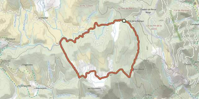 Plan IGN © IGN 2026Gourdouze valley, variant Trail #21vCévennes, Pont de Montvert - Sud Mont Lozère (48) · LoopOfficial rating by Parc national des Cévennes
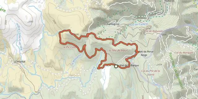 Plan IGN © IGN 2026Chalet de l'Aigle and Pic Cassini, Trail #19.Cévennes, Vialas (48) · LoopOfficial rating by Parc national des Cévennes
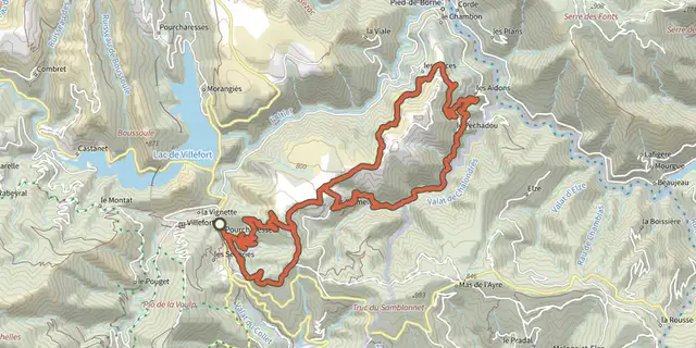 Plan IGN © IGN 2026Cham des Balmelles - Trail n°3Cévennes, Villefort (48) · LoopOfficial rating by Parc national des Cévennes
 Plan IGN © IGN 2026Croix de GratassacCévennes, Villefort (48) · LoopOfficial rating by Parc national des Cévennes